Mobile LiDAR Mapping
High-density corridor and infrastructure mapping using vehicle-mounted laser scanning systems.
High-Speed 3D Mapping for Corridors and Infrastructure
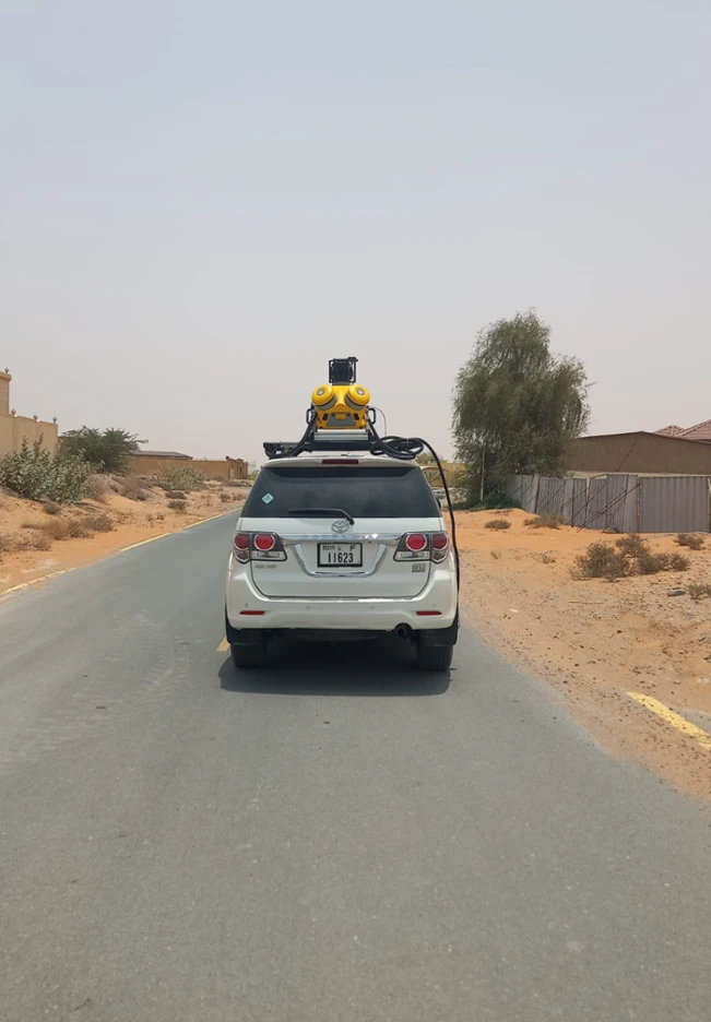
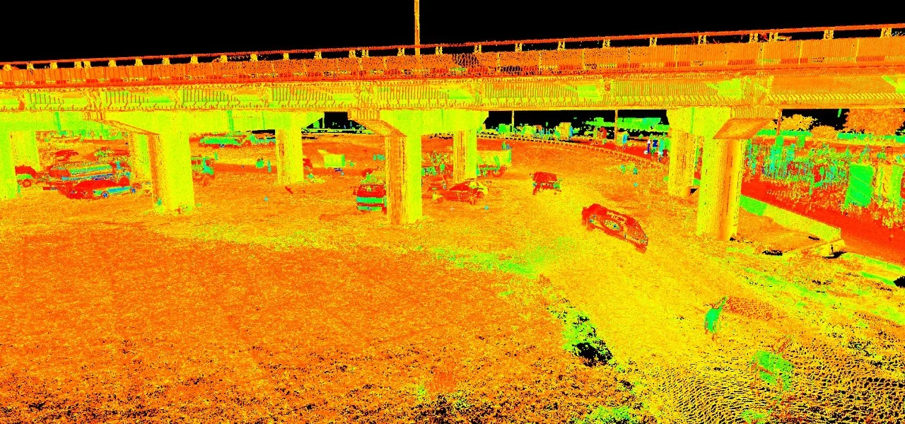
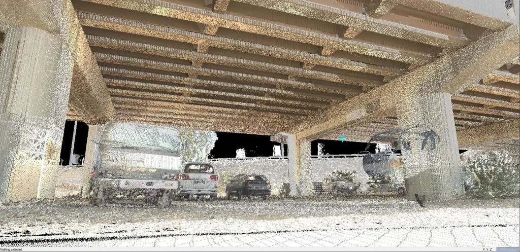
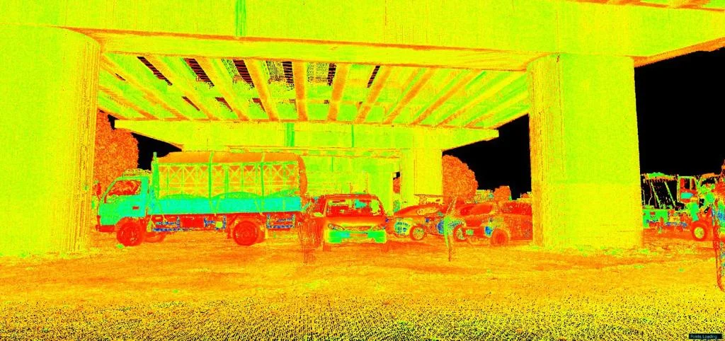
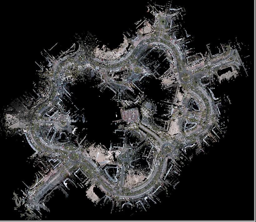
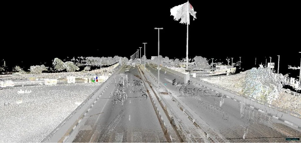
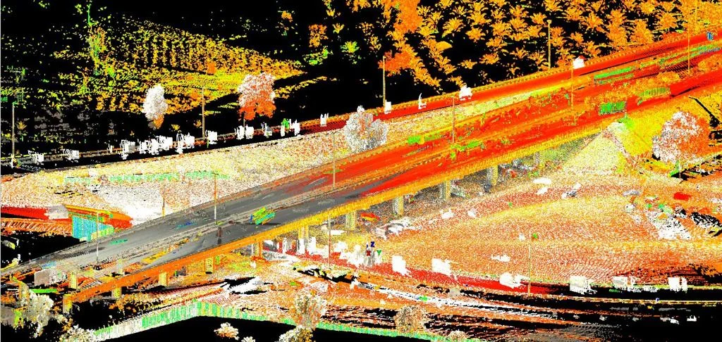
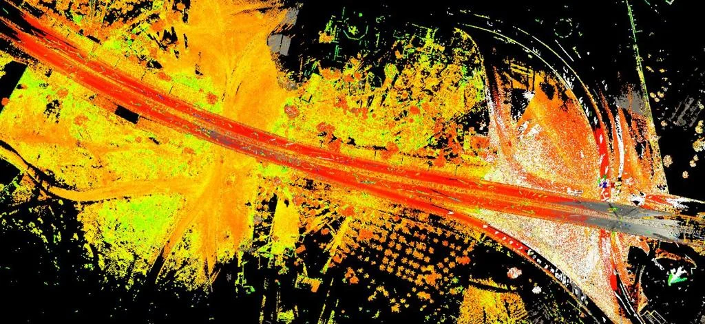
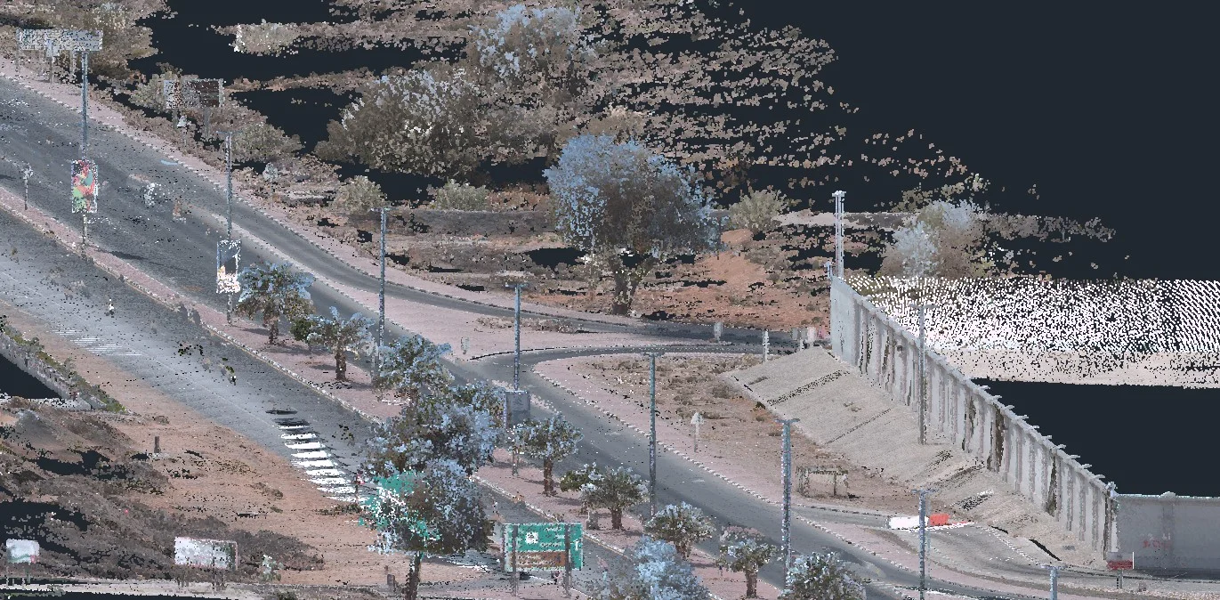
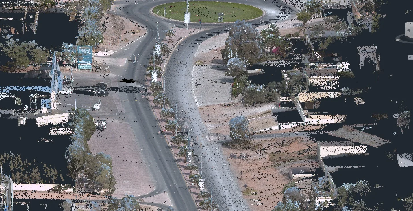
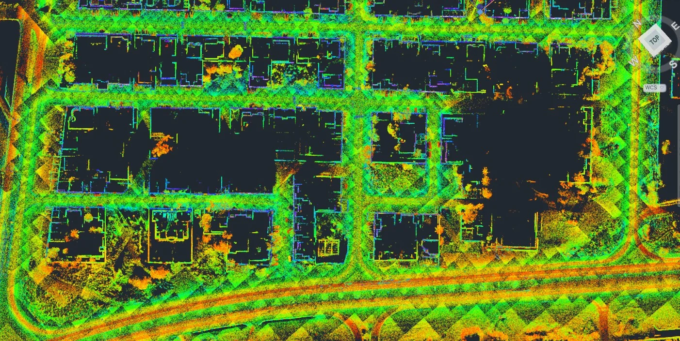
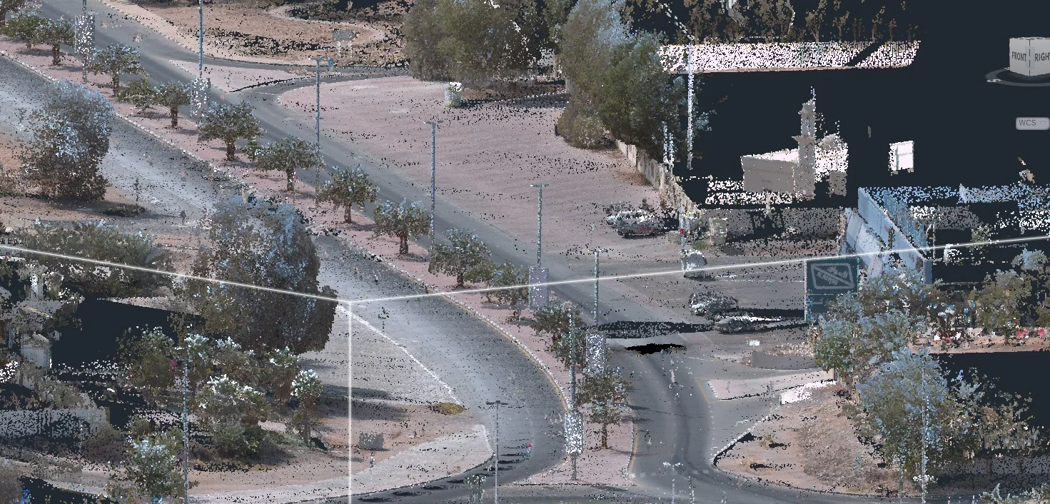
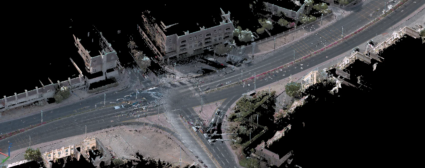
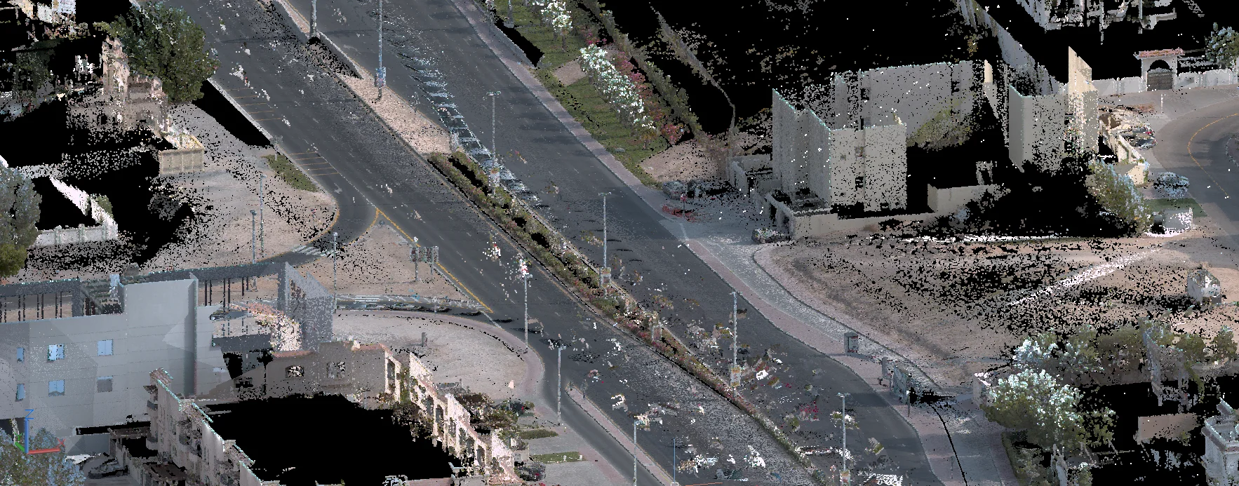
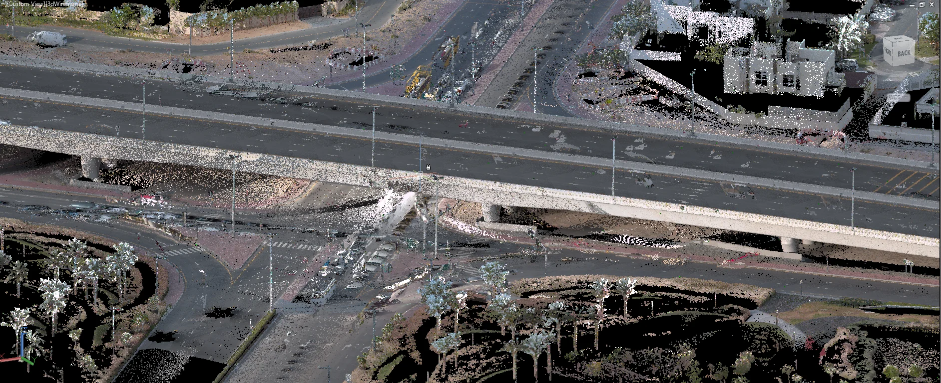
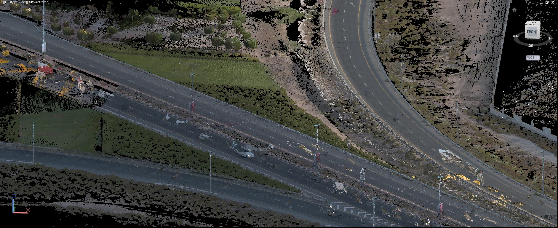
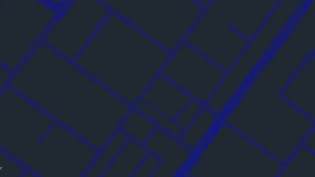
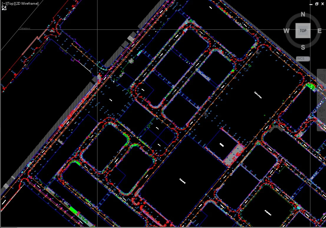
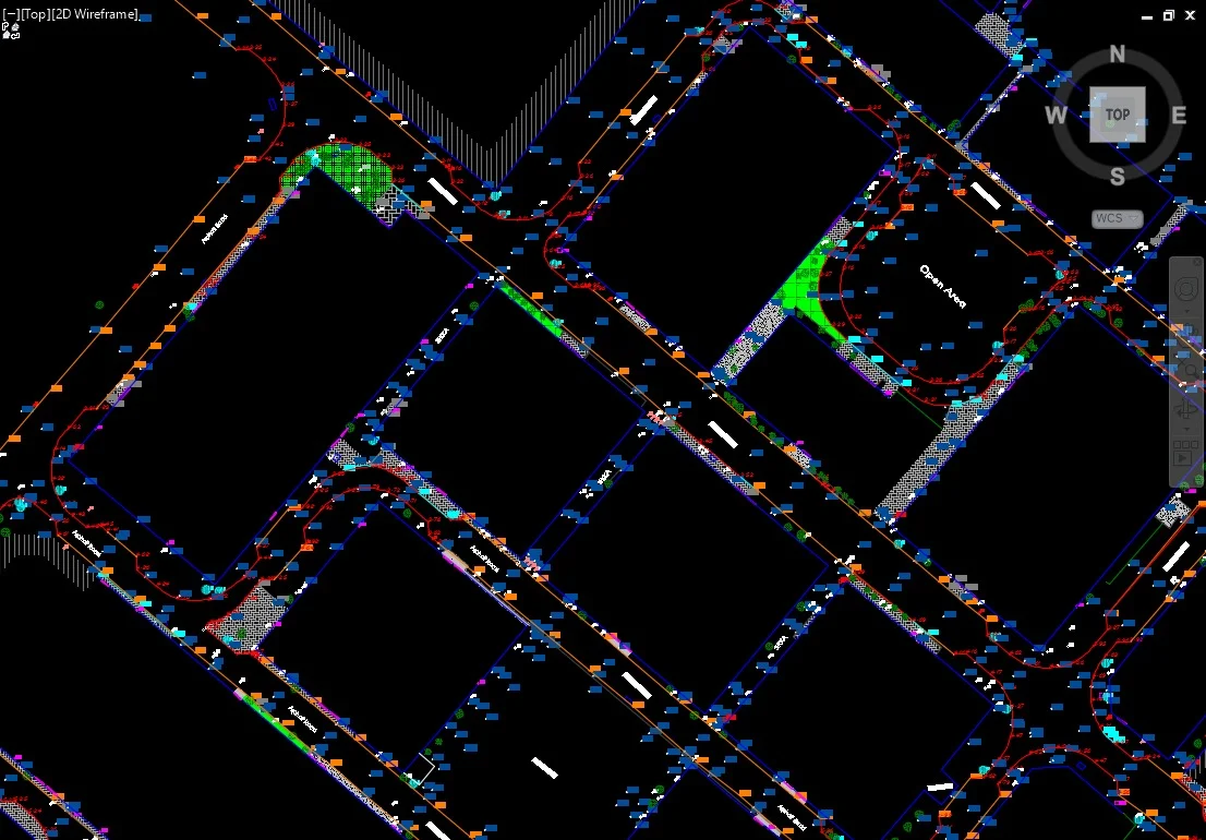
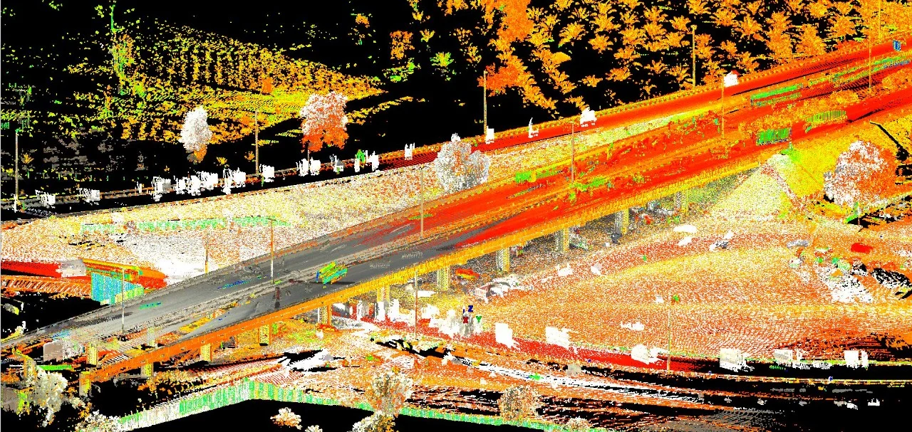
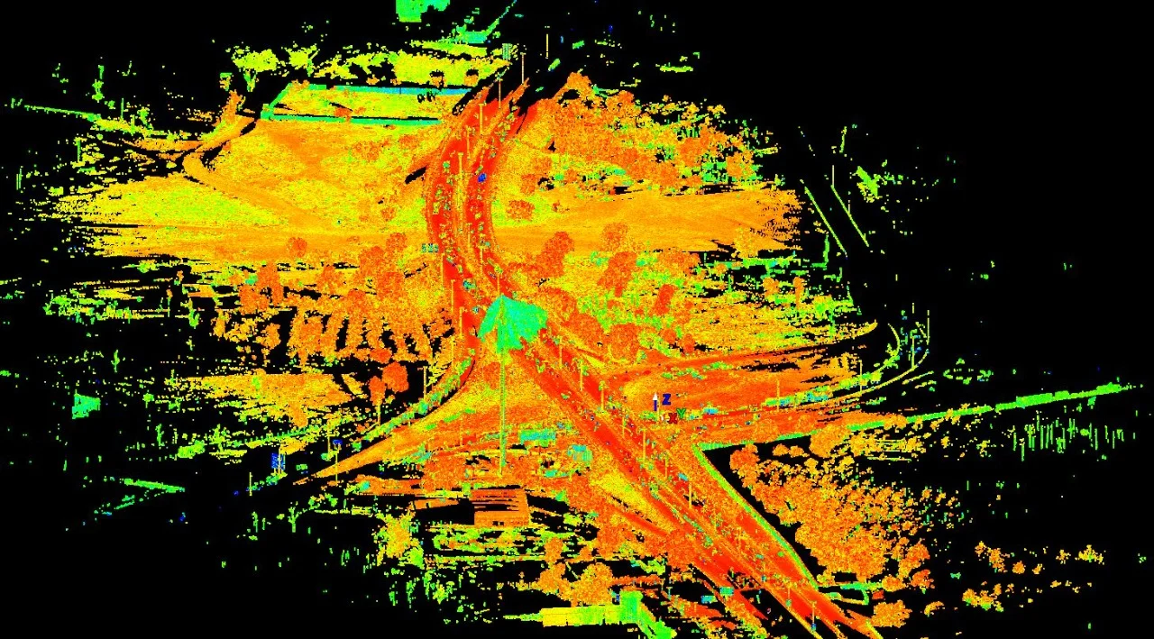
Mobile LiDAR captures detailed 3D spatial data of roads, rail corridors, and urban infrastructure at speed while maintaining survey-grade accuracy. It is suited for large-scale linear projects requiring comprehensive geometric and asset information.
Our Methodology
Delivering excellence through a proven three-stage workflow
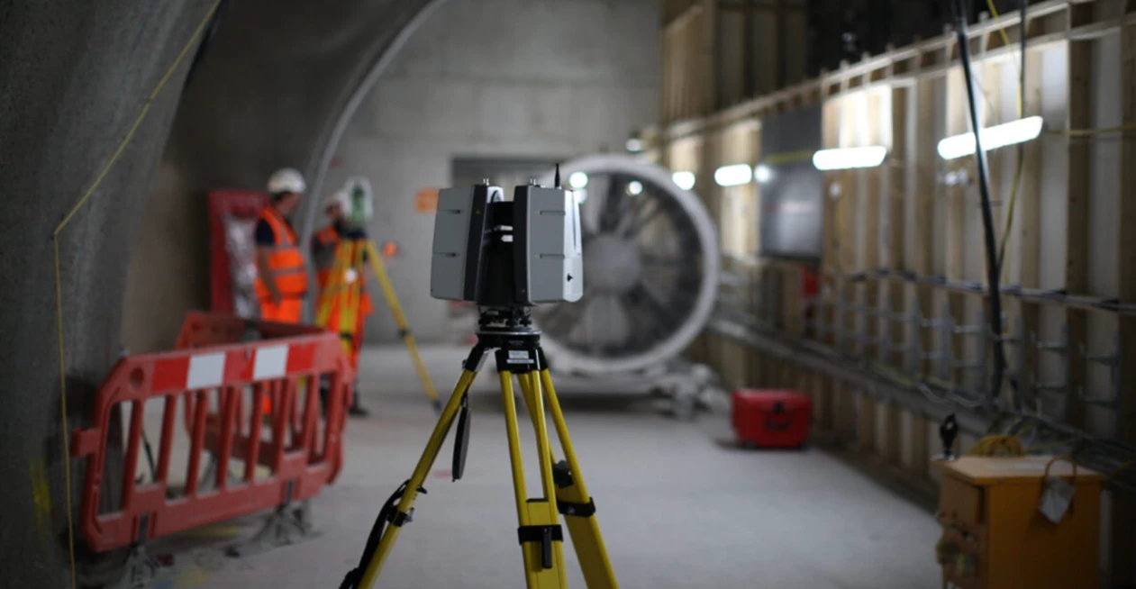
Mobile Data Acquisition
Vehicle-mounted LiDAR system captures high-density point cloud data along defined corridors with integrated GNSS/IMU positioning.
Point Cloud Processing & Classification
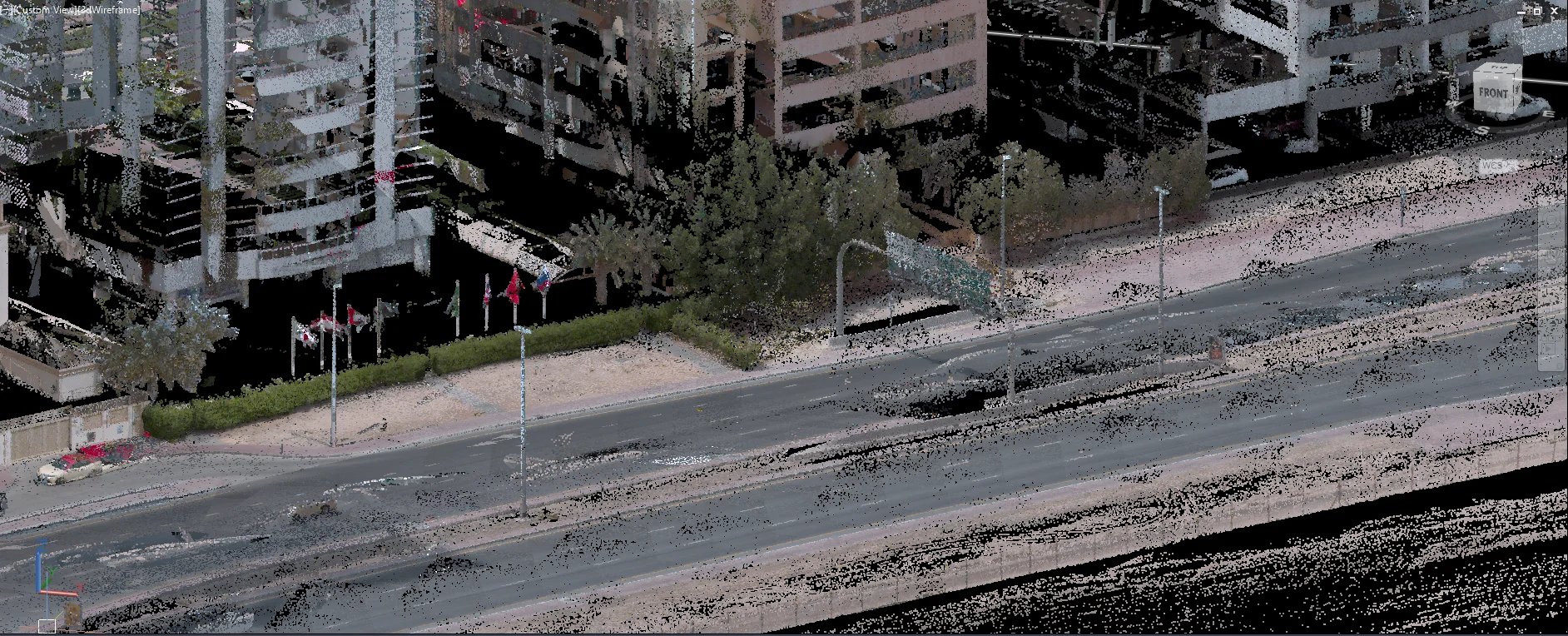
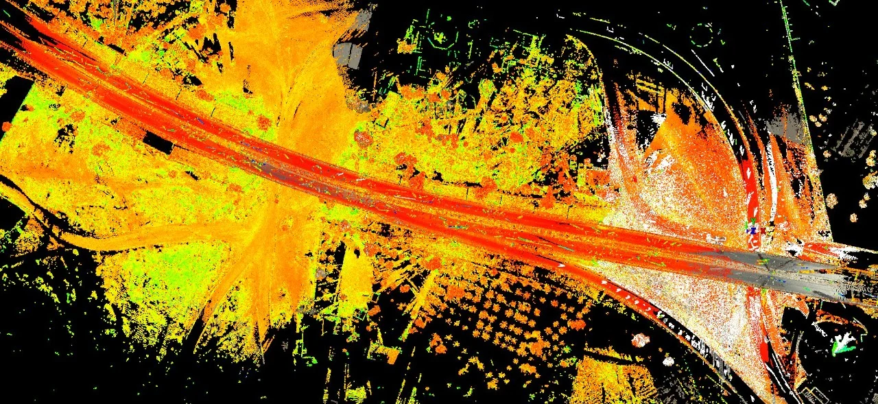
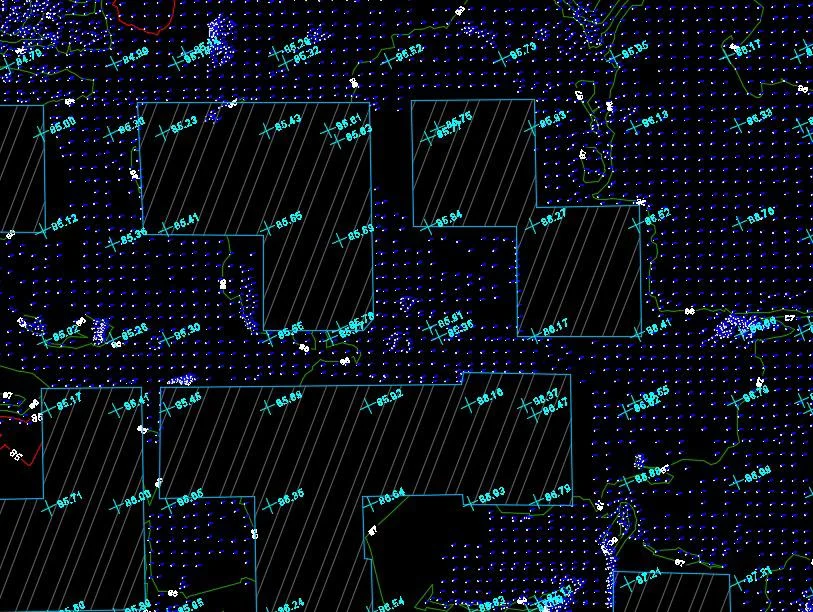
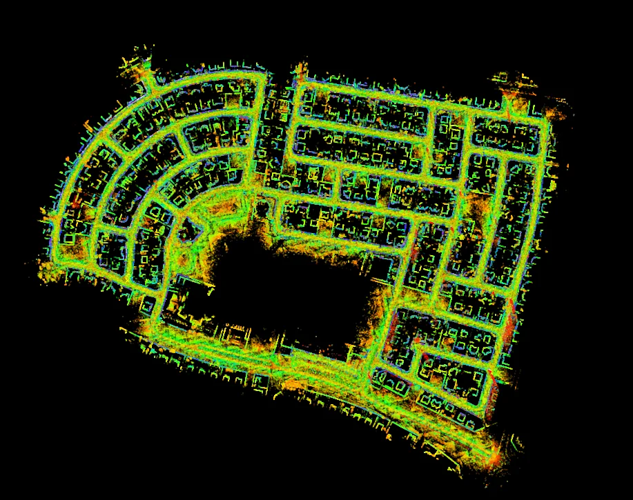
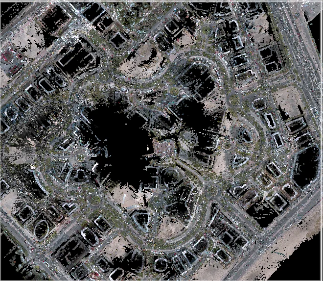
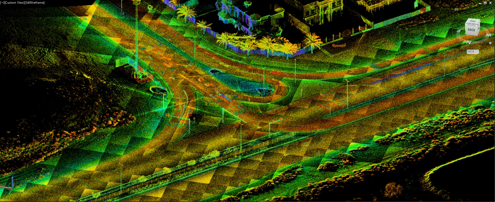
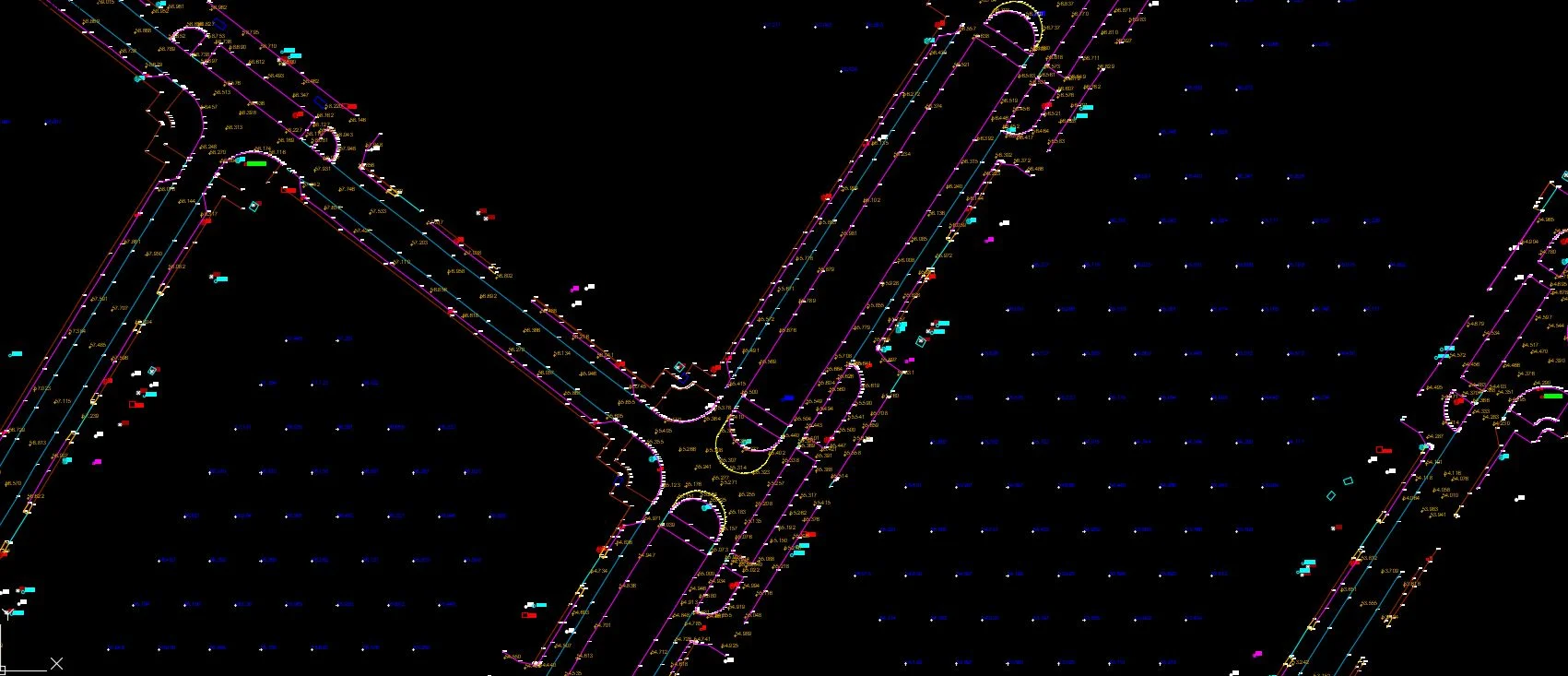
Data registration, trajectory adjustment, noise filtering, and ground/non-ground classification.
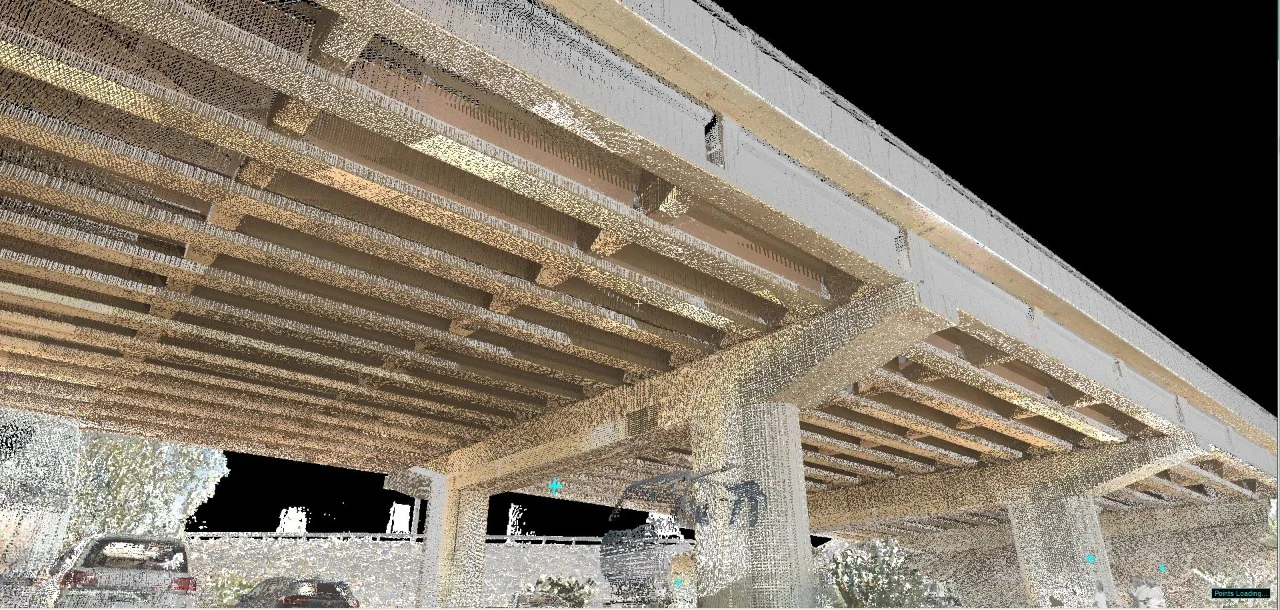
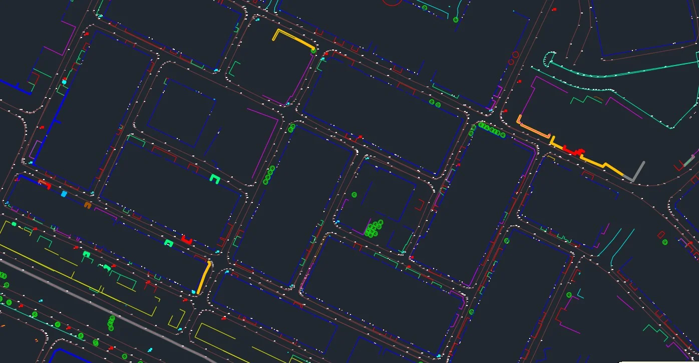
Feature Extraction & Model Generation
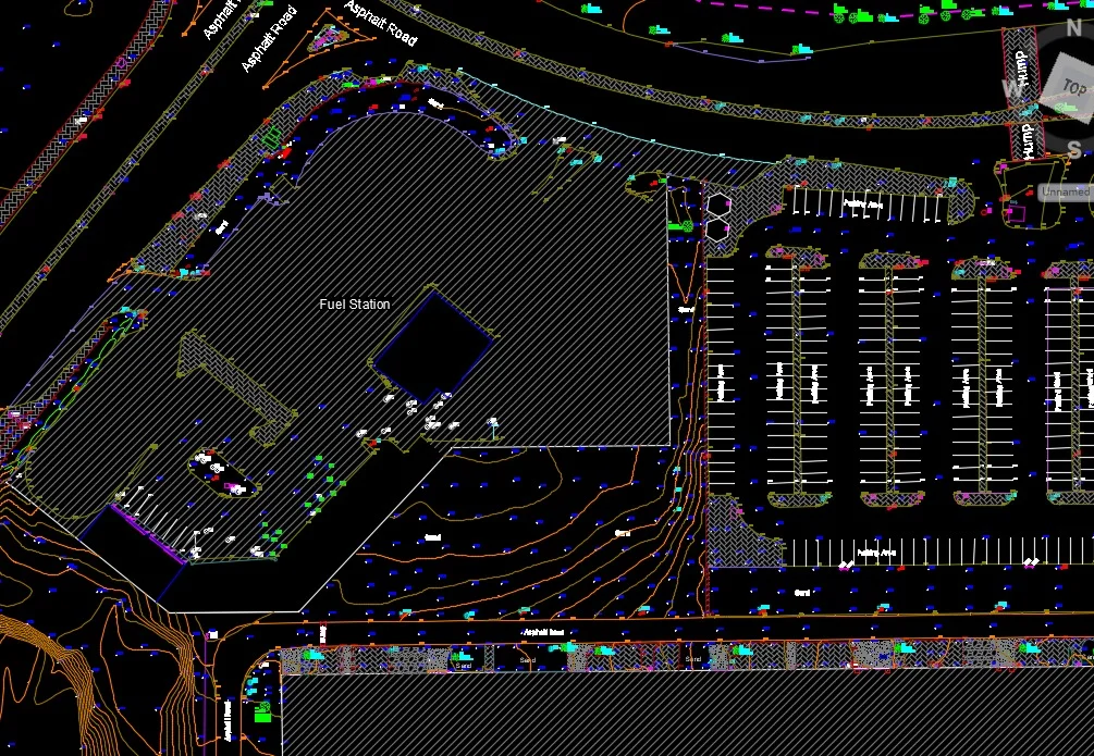
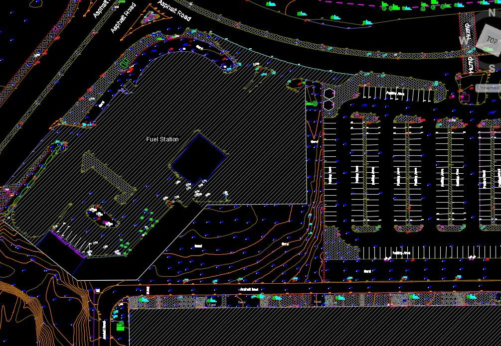
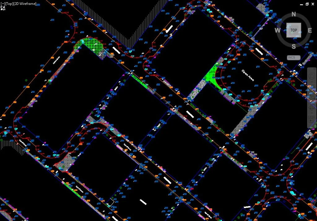
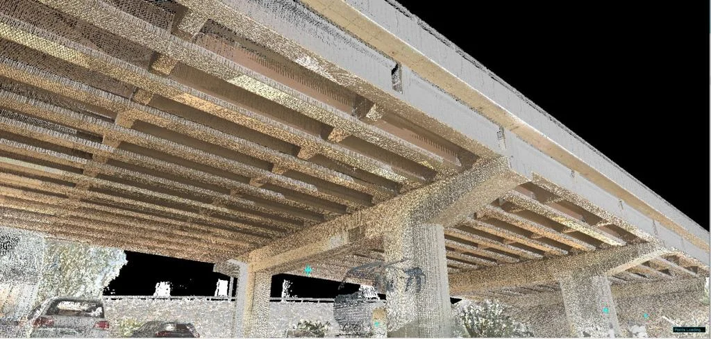
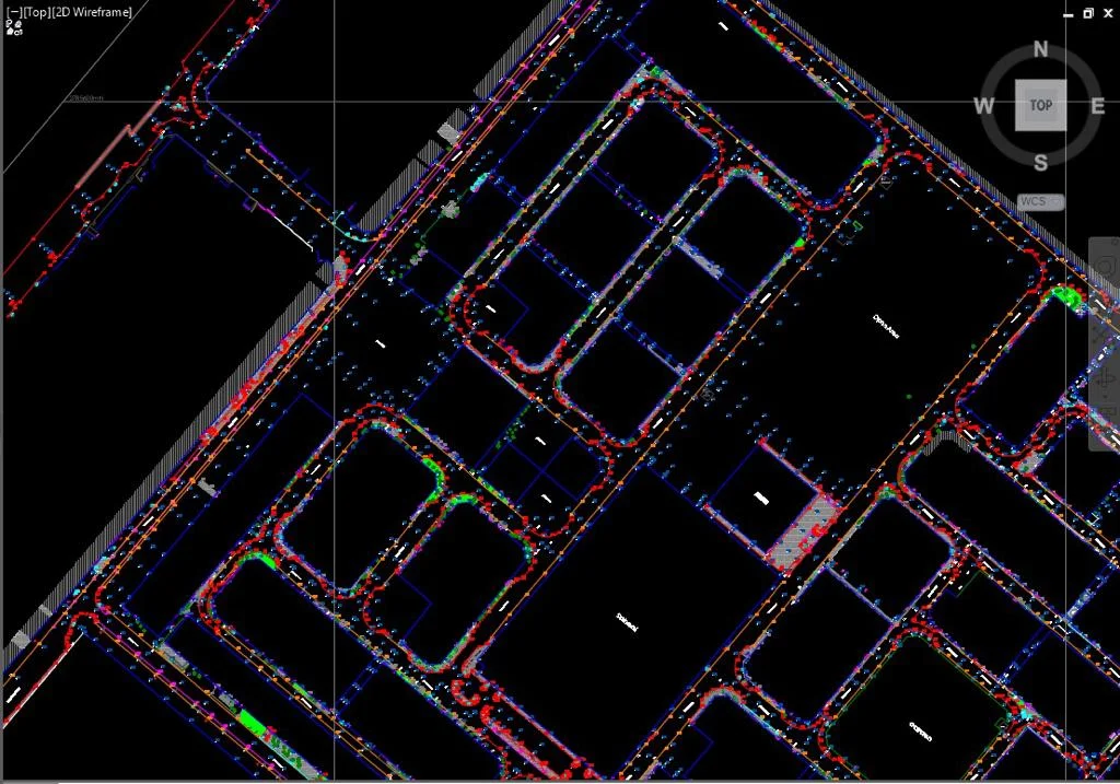
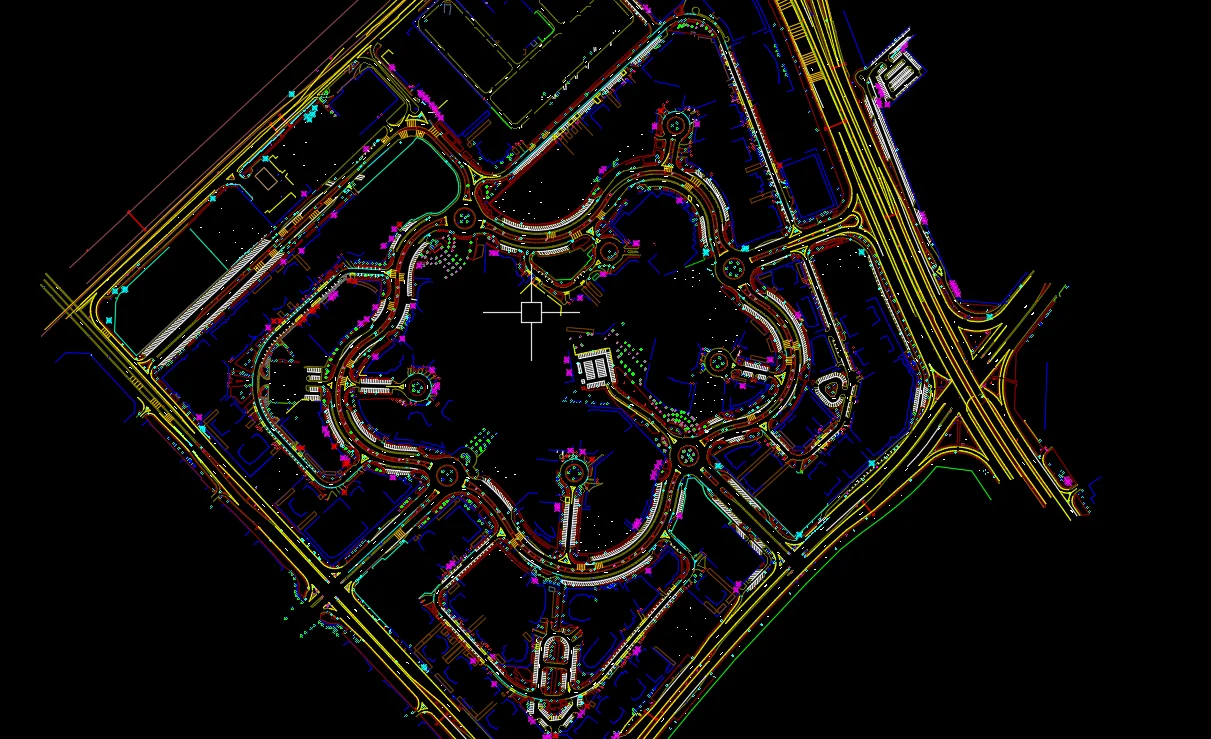
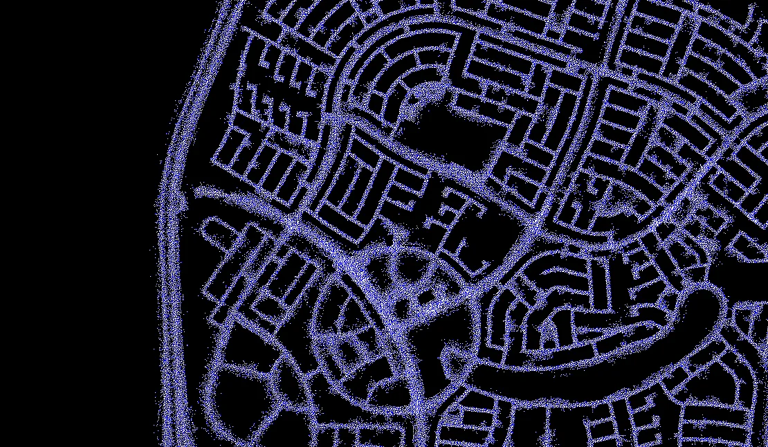
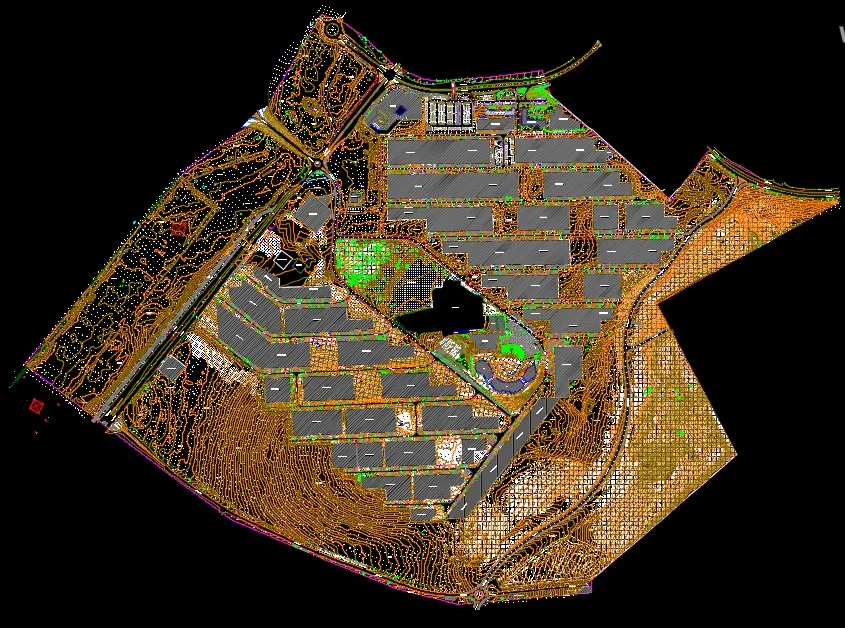
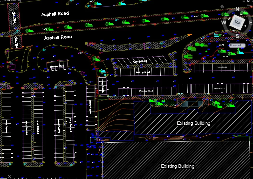
Extraction of road features, surface models, cross-sections, and structured CAD/GIS outputs.
Applications
Industry sectors and use cases we serve
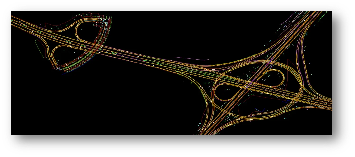
Highway & Road Networks
Captures roadway geometry, pavement edges, and road furniture
Rail Corridors
Supports clearance analysis and track alignment verification
Urban Infrastructure Mapping
Generates detailed streetscape and asset data
Asset Inventory Programs
Extracts signage, lighting, barriers, and utilities for GIS systems
Deliverables
What you receive at the end of every project
- Classified point cloud datasetsLAS / LAZ
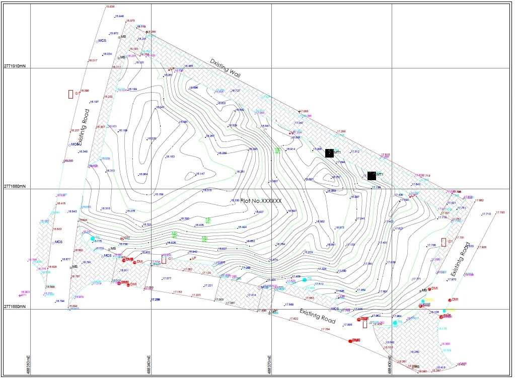
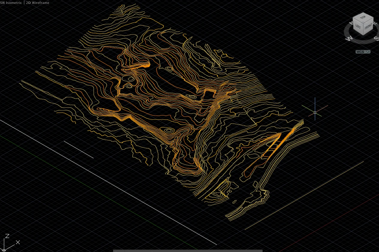
- Digital Terrain Model (DTM)
- Digital Surface Model (DSM)
- Triangulated Surface Model (TIN)
- Longitudinal and cross-section profiles
- Topographic Survey Drawings
- Contour maps
- CAD drawingsDWG / DXF
- GIS layers
- Asset inventory datasets
- Survey report with accuracy statement


Technology Stack
Industry-leading equipment and software

Trimble MX50 Mobile Mapper
Advanced surveying technology for precision data capture and analysis.

Leica Pegasus Two
Advanced surveying technology for precision data capture and analysis.

TerraScan
Advanced surveying technology for precision data capture and analysis.

Inertial Explorer
Advanced surveying technology for precision data capture and analysis.

Civil 3D
Advanced surveying technology for precision data capture and analysis.
Frequently Asked Questions
Our mobile LiDAR systems collect data at normal traffic speeds of 60-100 km/h, ensuring safety and minimizing traffic disruption.
Absolute accuracy is typically 2-3cm, suitable for as-built documentation and most engineering applications.
No, mobile LiDAR surveys are conducted from a moving vehicle without lane closures or traffic control.
Yes, we can extract and classify road assets including signs, lights, barriers, and utility poles from the point cloud data.
Have more questions?
Our team of experts is ready to assist you with your specific project requirements across the GCC.
Related Services
Explore our other professional surveying solutions
Topographic & Terrain Mapping
High-accuracy terrain and elevation mapping for infrastructure, development, and engineering projects.
GIS & Geospatial Solutions
Structured geospatial data management, mapping, and spatial analysis services for infrastructure and asset systems.
3D Laser Scanning
High-precision terrestrial laser scanning for detailed 3D capture of buildings, structures, and industrial environments.
Contact us directly
Reach our team instantly via WhatsApp, phone, or email.
Also available in Riyadh