GIS & Geospatial Solutions
Structured geospatial data management, mapping, and spatial analysis services for infrastructure and asset systems.
Organized Spatial Intelligence for Infrastructure
GIS services organize survey and spatial datasets into structured, geo-referenced databases. These systems enable visualization, analysis, and integration of infrastructure, utilities, and land information into centralized platforms for planning, monitoring, and decision-making.
Our GIS workflows transform raw survey outputs into usable spatial intelligence aligned with project and authority standards.
Our Methodology
Delivering excellence through a proven three-stage workflow
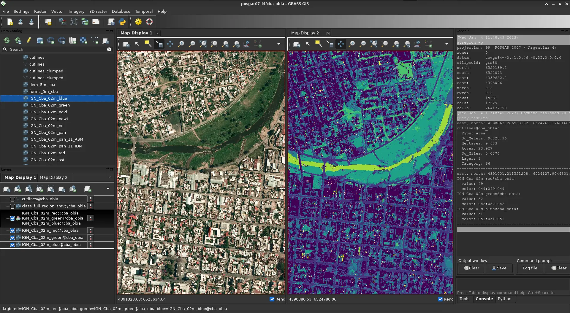
Data Structuring & Georeferencing
Import and validation of survey, LiDAR, and CAD datasets into a unified coordinate framework.
Database Development & Layer Creation
Creation of structured GIS layers, attribute tables, and asset classifications.
Spatial Analysis & Visualization
Generation of thematic maps, analysis outputs, and integration into web-based or enterprise GIS systems.
Applications
Industry sectors and use cases we serve
Utility Network Mapping
Organizes underground and surface services into structured spatial layers
Infrastructure Asset Management
Supports tracking and management of roads, utilities, and facilities
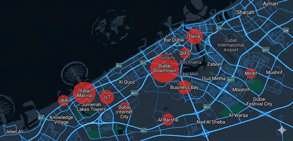
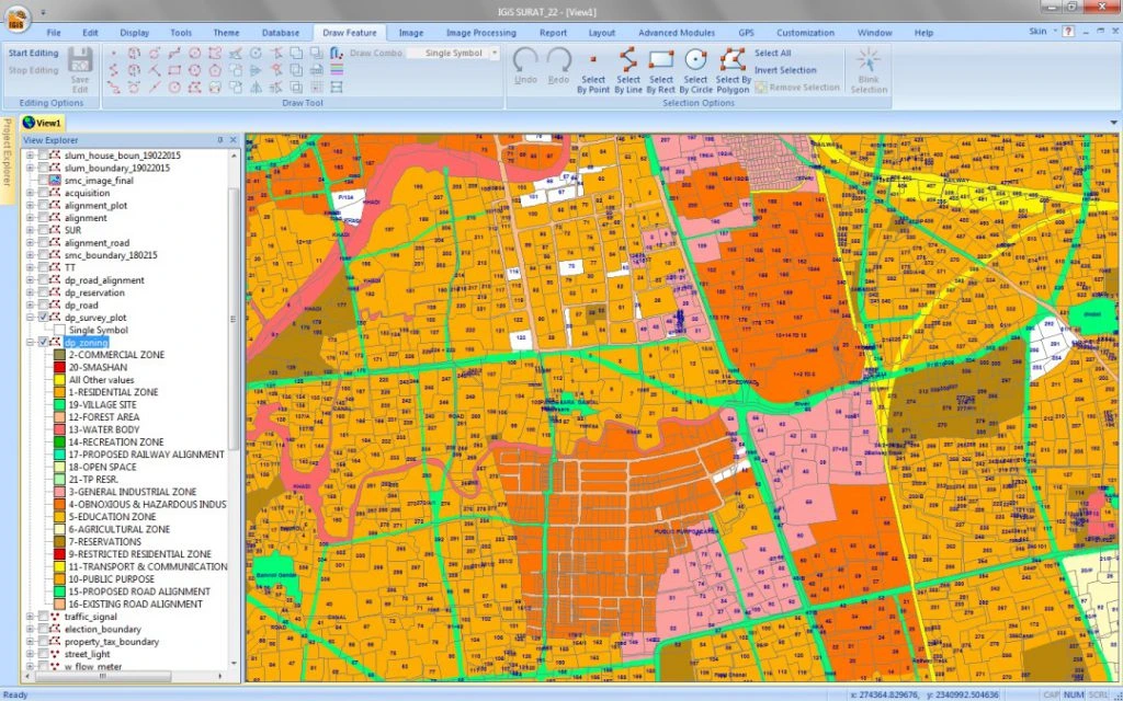
Urban Planning & Development
Assists zoning analysis and land-use planning
Authority & Municipal Integration
Aligns survey data with government GIS standards and submission requirements
Deliverables
What you receive at the end of every project
- GIS databasesGeodatabase / SHP formats
- Structured spatial layers with attributes
- Thematic and analytical maps
- Web GIS-ready datasets (if required)
- Integrated CAD-to-GIS conversions
- Spatial analysis reports
- Metadata documentation

Technology Stack
Industry-leading equipment and software
ArcGIS Enterprise
Advanced surveying technology for precision data capture and analysis.
QGIS
Advanced surveying technology for precision data capture and analysis.
PostgreSQL/PostGIS
Advanced surveying technology for precision data capture and analysis.
Leaflet / OpenLayers
Advanced surveying technology for precision data capture and analysis.

Python & FME
Advanced surveying technology for precision data capture and analysis.
Frequently Asked Questions
We work with Esri ArcGIS, QGIS, and web-based platforms. We recommend solutions based on your budget and requirements.
Yes, we specialize in integrating GIS with ERP, CMMS, and other enterprise systems via APIs and databases.
Absolutely. We can deploy on ArcGIS Online, AWS, or your preferred cloud platform.
We provide maintenance contracts, data updates, and technical support tailored to your needs.
Have more questions?
Our team of experts is ready to assist you with your specific project requirements across the GCC.
Related Services
Explore our other professional surveying solutions


Contact us directly
Reach our team instantly via WhatsApp, phone, or email.
Also available in Riyadh