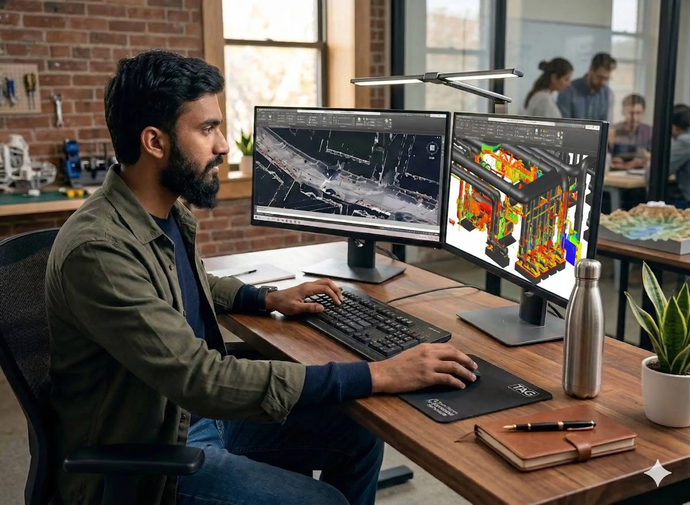
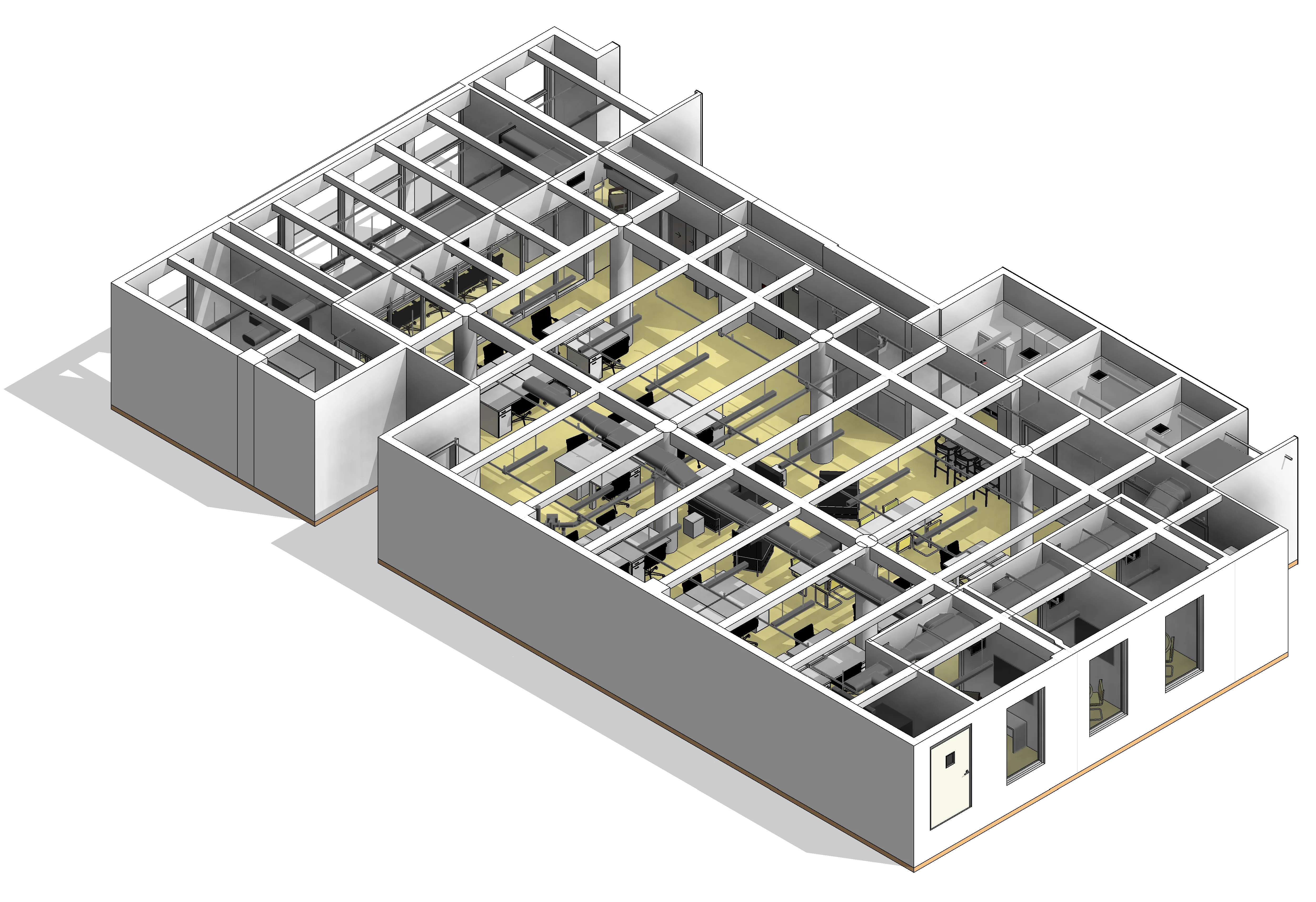
BIM Modeling
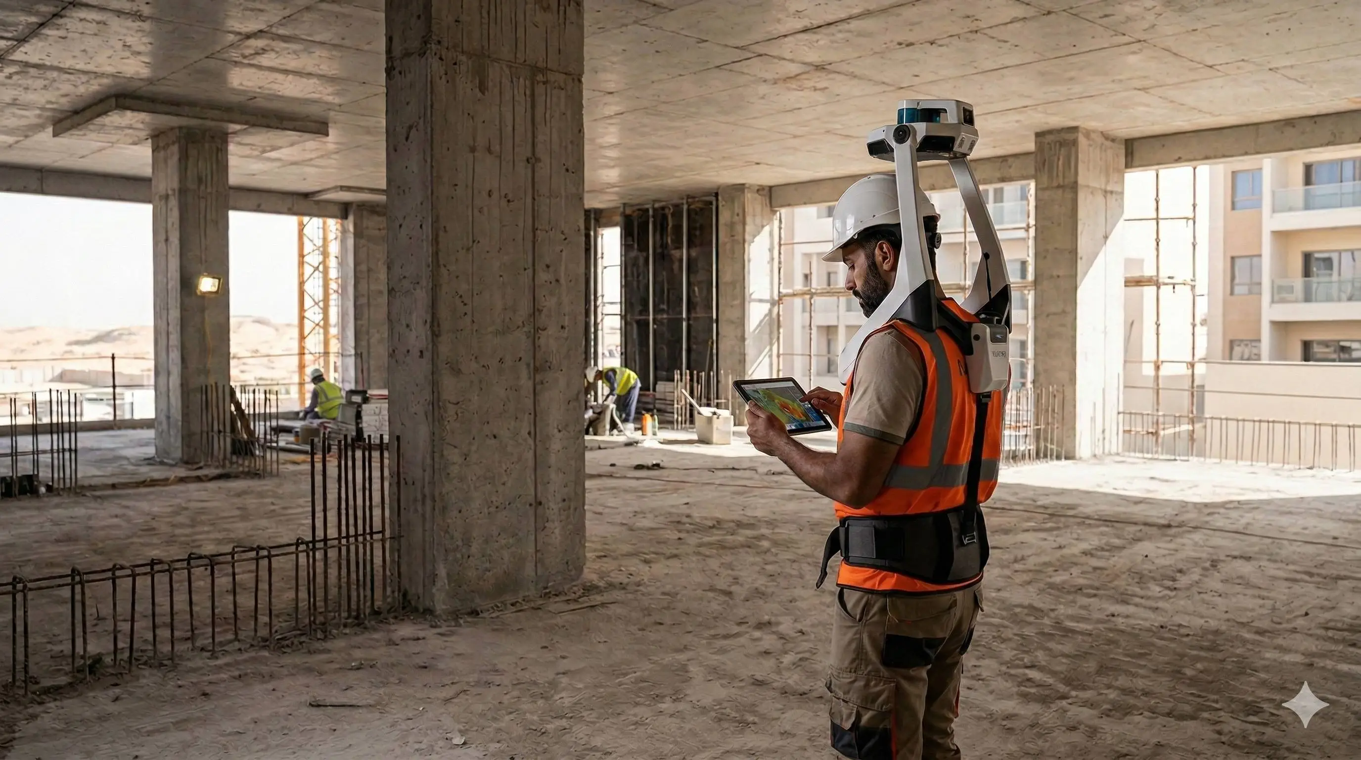
Creation of structured Building Information Models from survey, LiDAR, and 3D scan data.
Structured Digital Models from Spatial Data
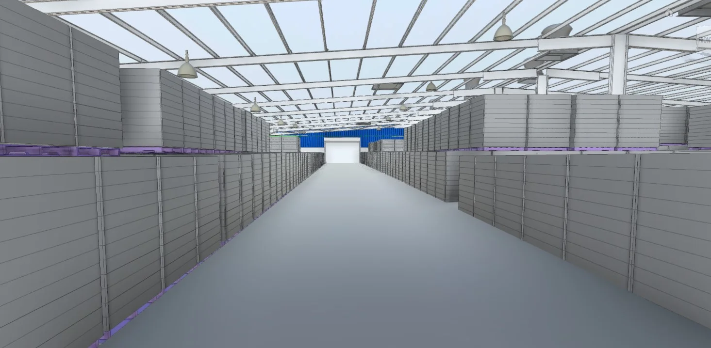
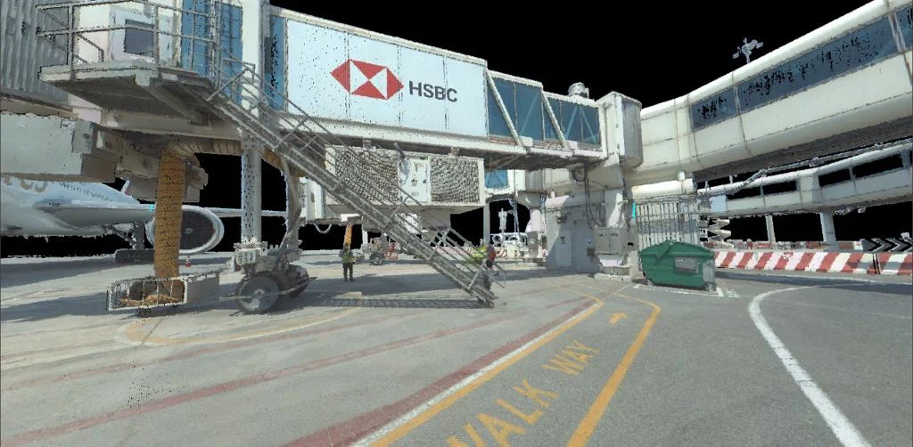
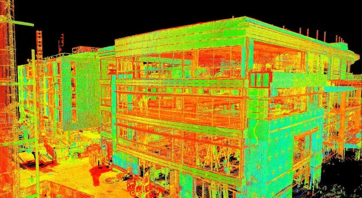
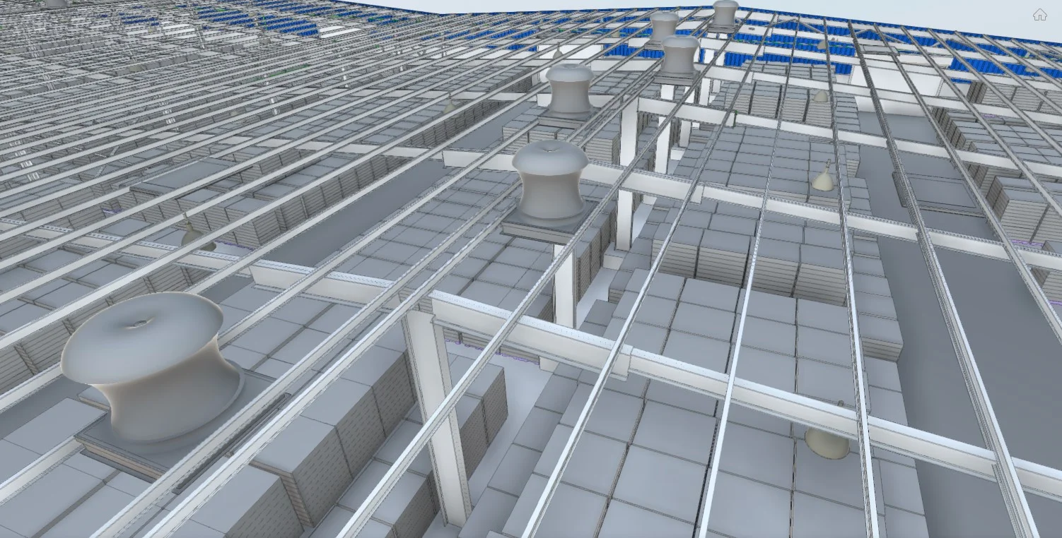
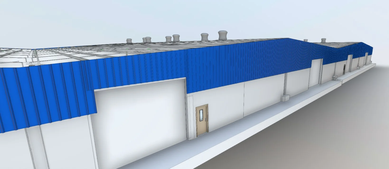
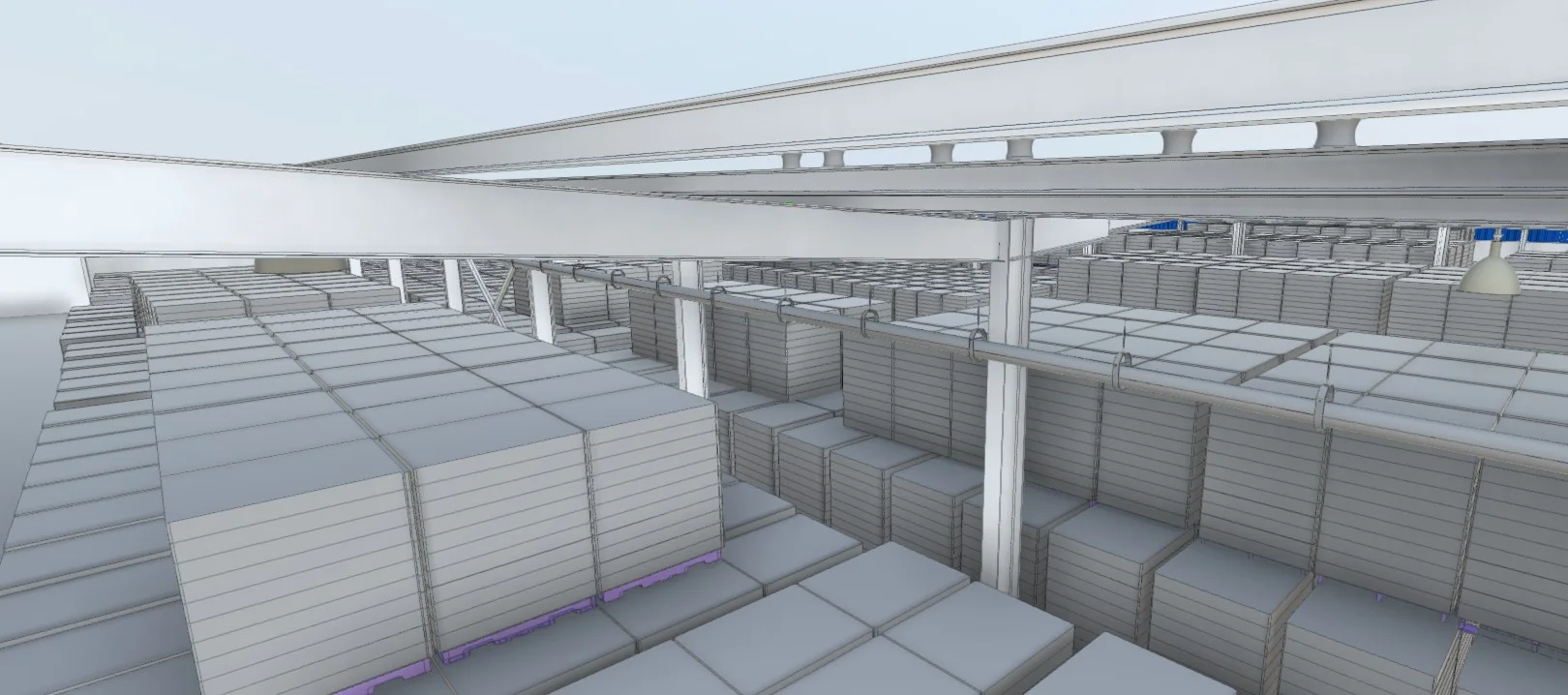
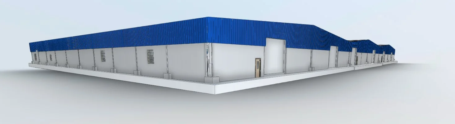
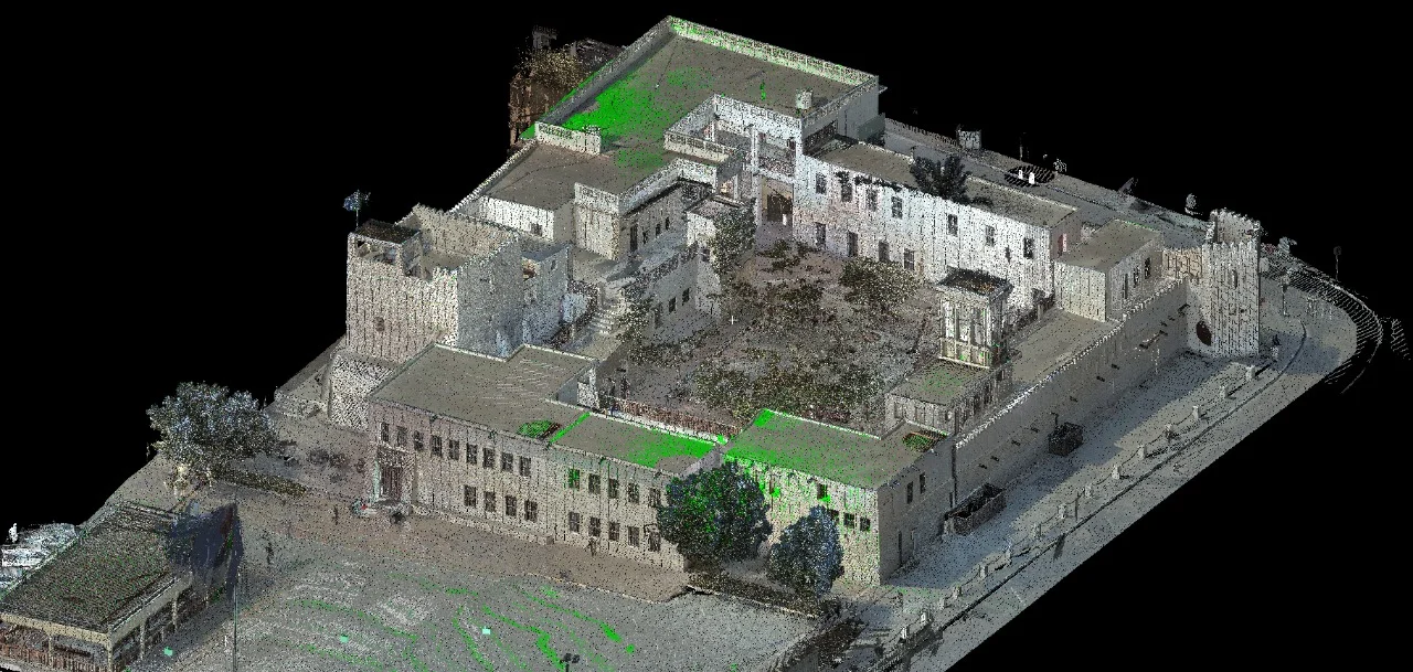
BIM modeling converts spatial datasets such as point clouds and survey drawings into coordinated 3D digital models. These models represent architectural, structural, and MEP elements with defined levels of detail, supporting design coordination, redevelopment, and lifecycle management.
Our BIM workflows ensure that captured site data is transformed into reliable, structured models ready for engineering and planning use.
Our Methodology
Delivering excellence through a proven three-stage workflow
Data Integration
Import of point cloud, LiDAR, and survey datasets into a unified modeling environment.
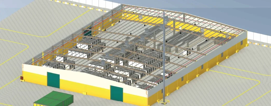
Model Development & Structuring
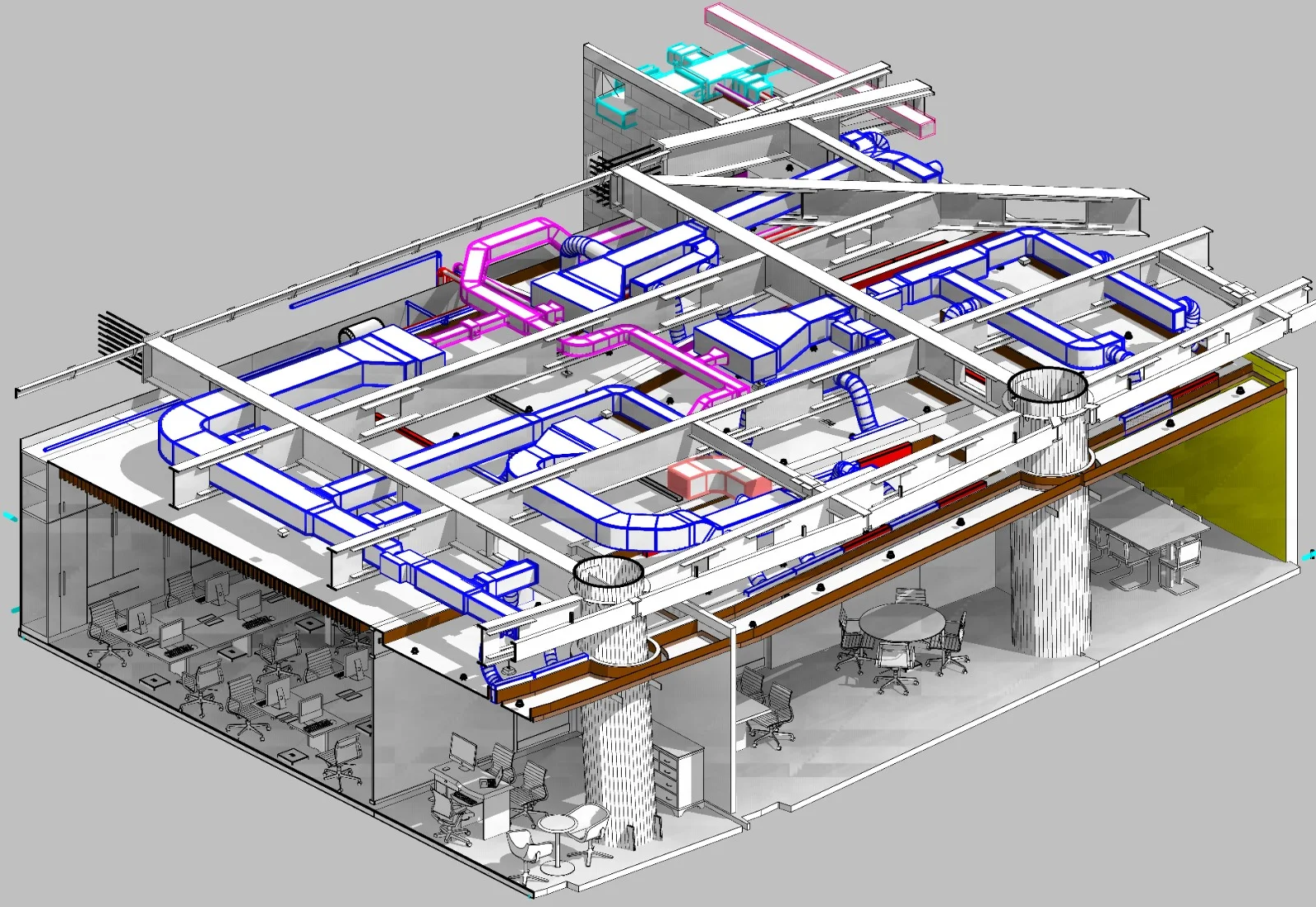
Creation of architectural, structural, and MEP components to required Level of Detail (LOD), aligned with project specifications.
Validation & Coordination
Dimensional verification against source data and coordination checks prior to final model delivery.
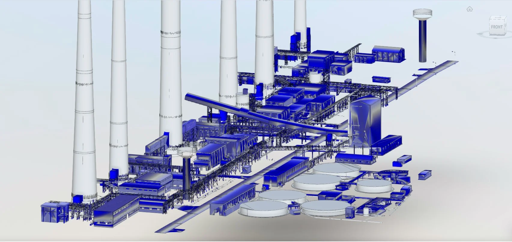
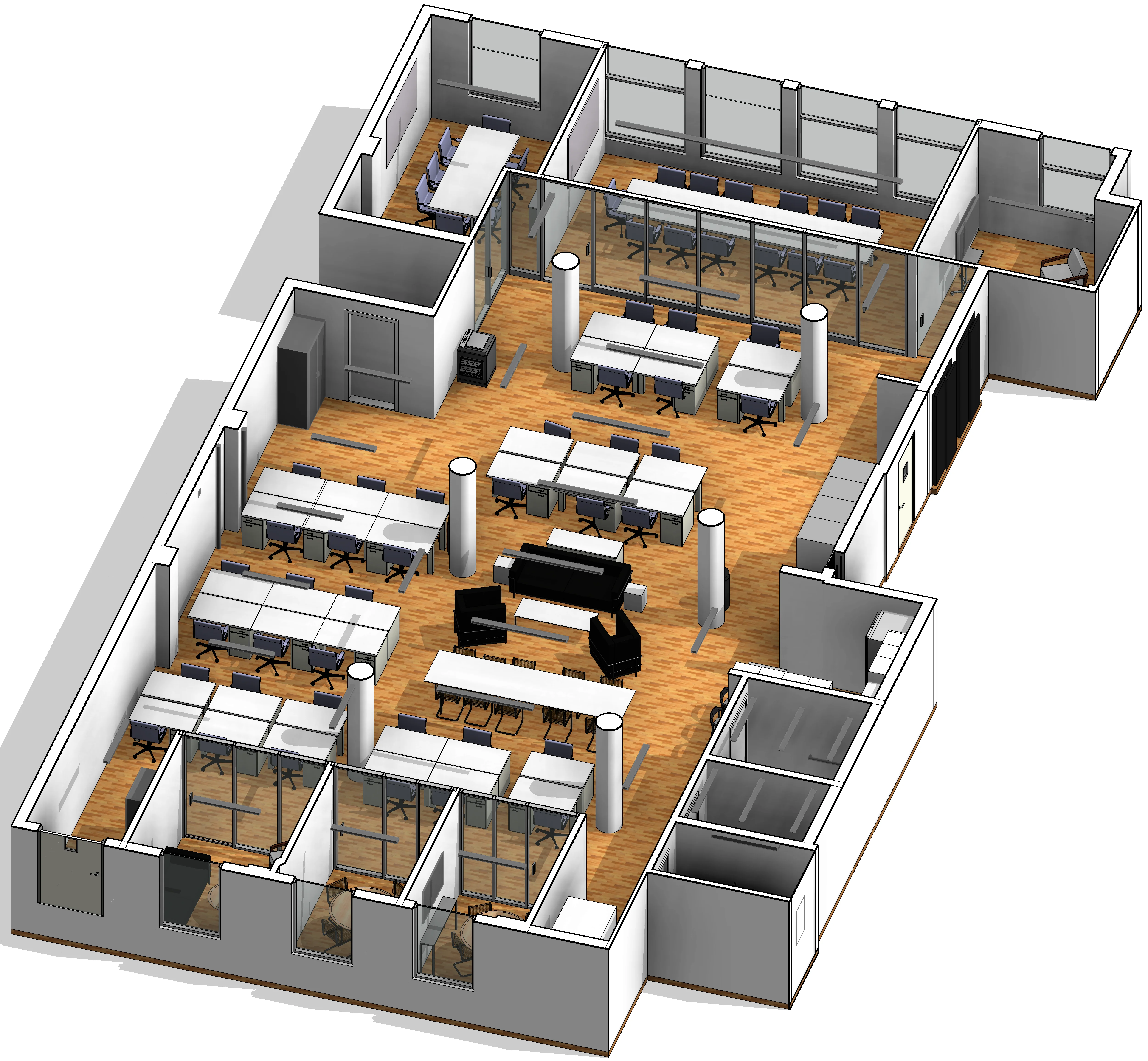
Applications
Industry sectors and use cases we serve
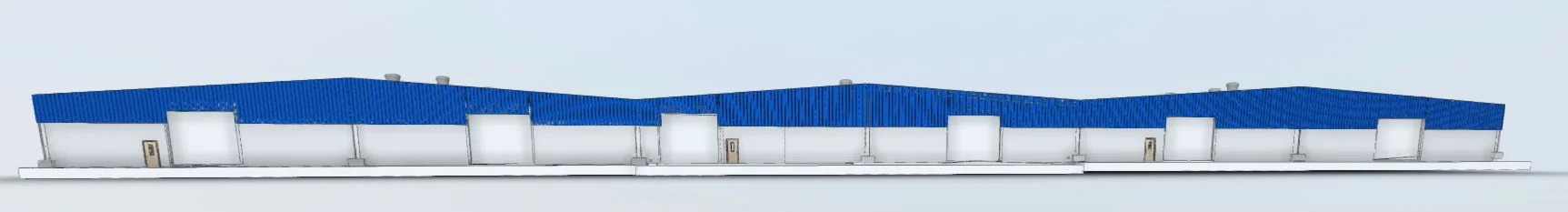
Scan-to-BIM Projects
Converts 3D scan data into structured building models
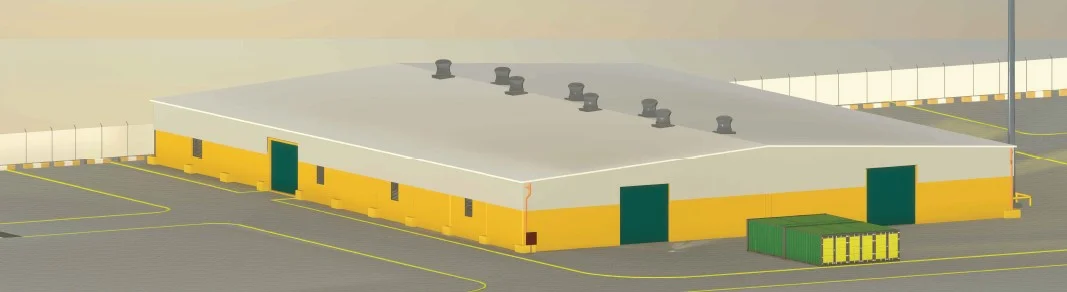
Redevelopment & Renovation
Provides accurate digital models of existing structures
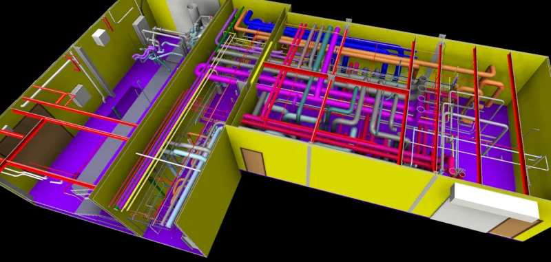
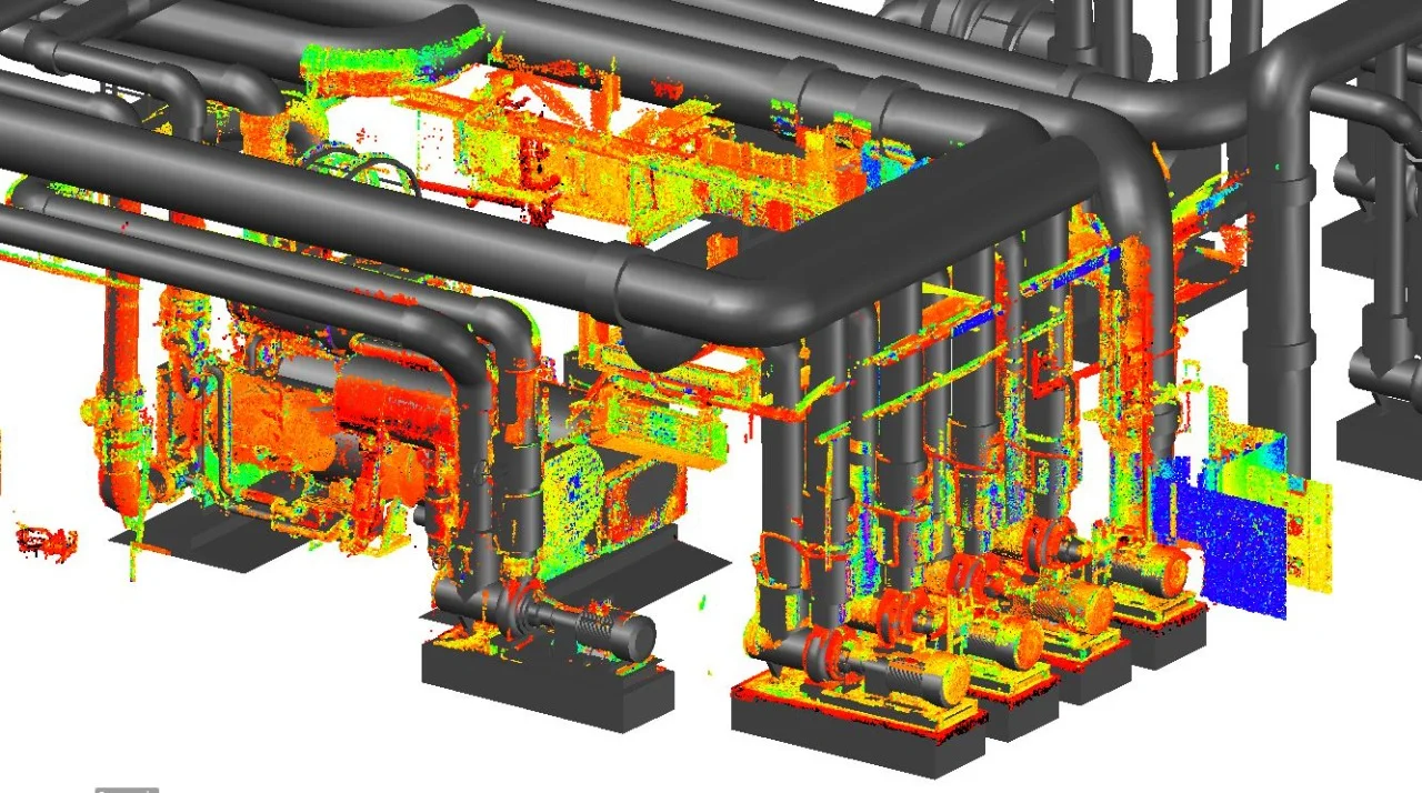
Clash Detection & Coordination
Identifies conflicts between structural and service elements
Facility Management Integration
Supports long-term asset documentation and maintenance planning
Deliverables
What you receive at the end of every project
- BIM modelsRevit / IFC formats
- Architectural and structural models
- LOD-specific model outputs
- Extracted 2D drawings from model
- Clash detection reports
Technology Stack
Industry-leading equipment and software
Autodesk Revit
Advanced surveying technology for precision data capture and analysis.

Navisworks Manage
Advanced surveying technology for precision data capture and analysis.

ReCap Pro
Advanced surveying technology for precision data capture and analysis.

BIM 360
Advanced surveying technology for precision data capture and analysis.

Solibri
Advanced surveying technology for precision data capture and analysis.
Frequently Asked Questions
We model to any LOD from 100 (conceptual) to 500 (as-built), based on project requirements and available data.
Yes, we have experienced MEP modelers who create coordinated mechanical, electrical, and plumbing Revit models.
Absolutely. We use Navisworks and Solibri to detect and report clashes between disciplines.
Typical projects take 2-4 weeks depending on building complexity, scan data quality, and required LOD.
Have more questions?
Our team of experts is ready to assist you with your specific project requirements across the GCC.
Related Services
Explore our other professional surveying solutions
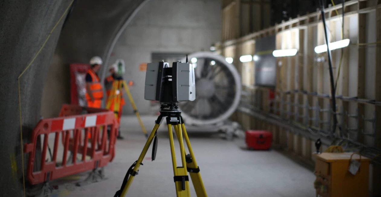
3D Laser Scanning
High-precision terrestrial laser scanning for detailed 3D capture of buildings, structures, and industrial environments.
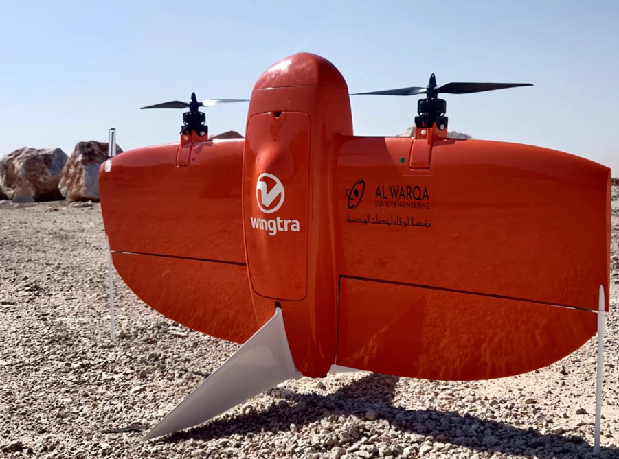
Aerial Drone Mapping
High-resolution aerial data acquisition for terrain modeling, volumetric analysis, and site documentation.
As-Built Surveys (3D Laser Scanning-Based)
High-accuracy 3D laser scanning for documentation and verification of existing building structures, including slab levels, core walls, and structural geometry.
Contact us directly
Reach our team instantly via WhatsApp, phone, or email.
Also available in Riyadh