About Al Warqa Survey Engineering
Engineering Precision. Regional Authority. Since 2001.
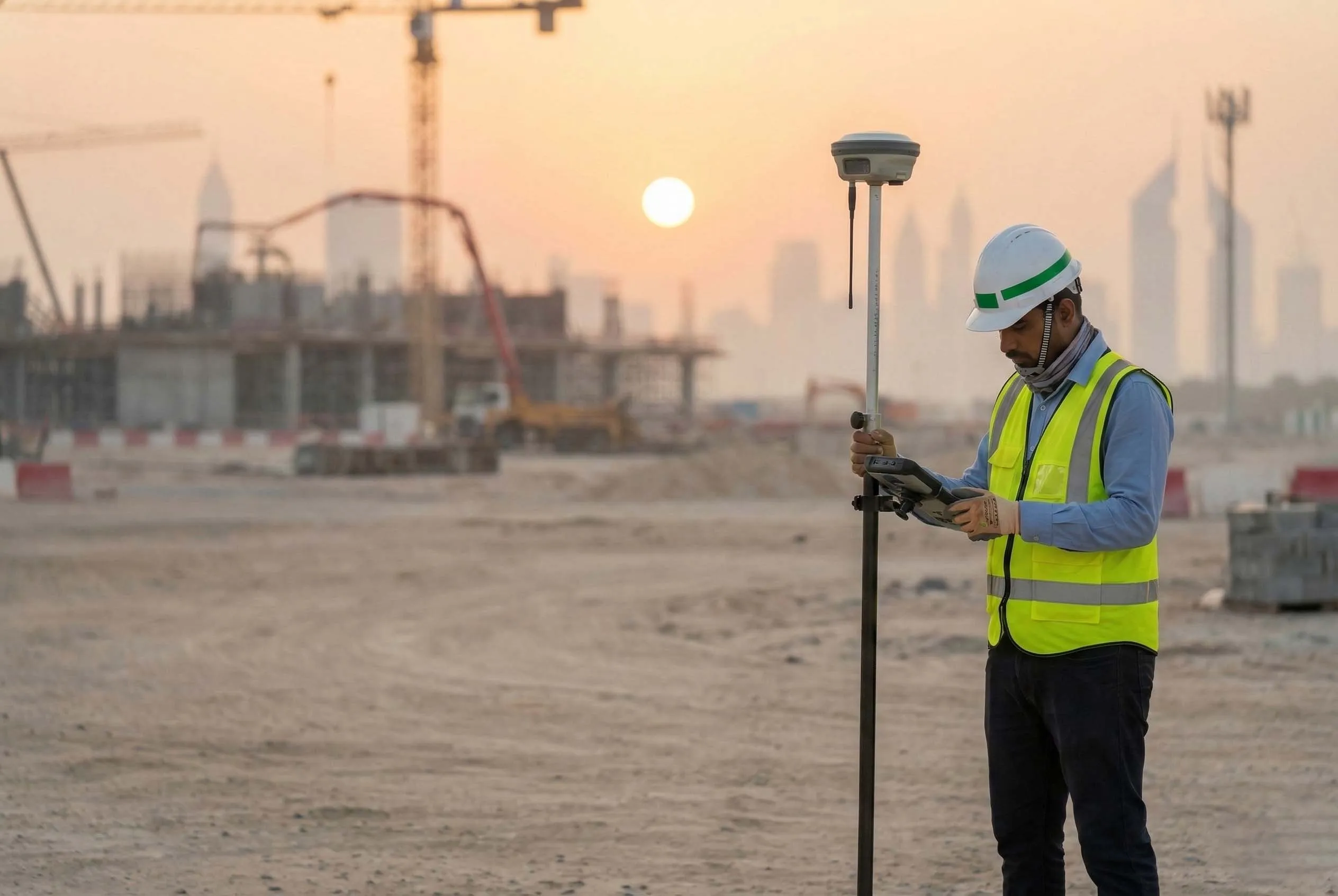
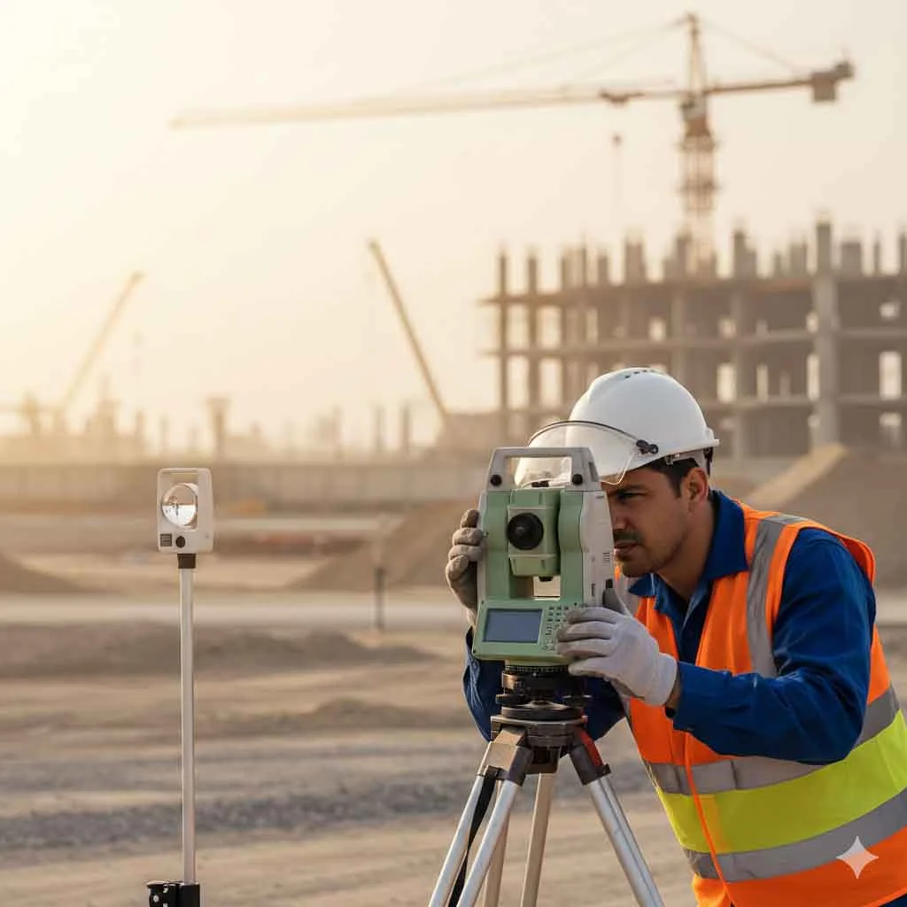
Al Warqa Survey Engineering is a UAE-based geospatial and engineering survey firm delivering high-accuracy land, aerial, subsurface, marine, and aeronautical surveying services across the GCC. For over 25 years, we have supported infrastructure consultants, contractors, developers, and government authorities by providing verified spatial data aligned with engineering standards and regulatory frameworks.
Company Overview
Established in Dubai in 2001, Al Warqa Survey Engineering was founded to deliver technically rigorous surveying services for infrastructure and development projects. Over two decades, the company has evolved from conventional land surveying into a multi-disciplinary geospatial firm integrating mobile LiDAR mapping, drone mapping, terrestrial laser scanning, hydrographic surveying, underground utilities mapping, aviation obstacle studies, BIM modeling, and GIS systems.
Today, we operate at the intersection of field execution and digital engineering — delivering structured survey intelligence across complex terrain, urban environments, coastal zones, and controlled aviation airspace.
25 Years of Measured Growth
Establishment in Dubai, UAE
Launch of professional land and engineering survey operations serving infrastructure and development sectors.
Infrastructure & Masterplan Expansion
Participation in major road, utility, and masterplan developments in collaboration with leading consultants and developers across the UAE.
Digital Survey Transformation
Integration of advanced GNSS control systems and structured digital survey workflows to enhance accuracy and efficiency.
Recognized Among Leading Survey Firms in the UAE
Established as one of the prominent surveying companies in the region through consistent delivery on large-scale infrastructure projects.
Early Adoption of 3D Laser Scanning Technology
Among the first survey entities in the region to integrate terrestrial 3D laser scanning into mainstream project execution.
GIS Projects for Abu Dhabi Municipality
Execution of structured geospatial and GIS mapping projects aligned with municipal standards.
UAV Integration
Expansion into aerial drone mapping for large-area terrain and development surveys.
Mobile Mapping System Deployment
Introduction of vehicle-mounted LiDAR systems for high-density corridor and infrastructure surveys.
Saudi Arabia Project Execution
Commencement of infrastructure and aviation-related project delivery within the Kingdom of Saudi Arabia.
Large-Scale Regional Mapping Project
Completion of a major geospatial mapping program covering approximately 450 square kilometres.
Riyadh Operational Office Established
Opening of a dedicated operational office in Riyadh to support ongoing Saudi infrastructure and aviation projects.
Experience & Scale
Al Warqa Survey Engineering delivers at scale — with the operational depth and technical capacity required for large infrastructure and regulated environments.


Core Capabilities
Engineering-Grade Accuracy
Controlled survey networks, structured QA/QC processes, and documented verification protocols.

Advanced Geospatial Systems
Mobile LiDAR, UAV mapping, terrestrial laser scanning, hydrographic sonar systems, and aviation surface modeling.
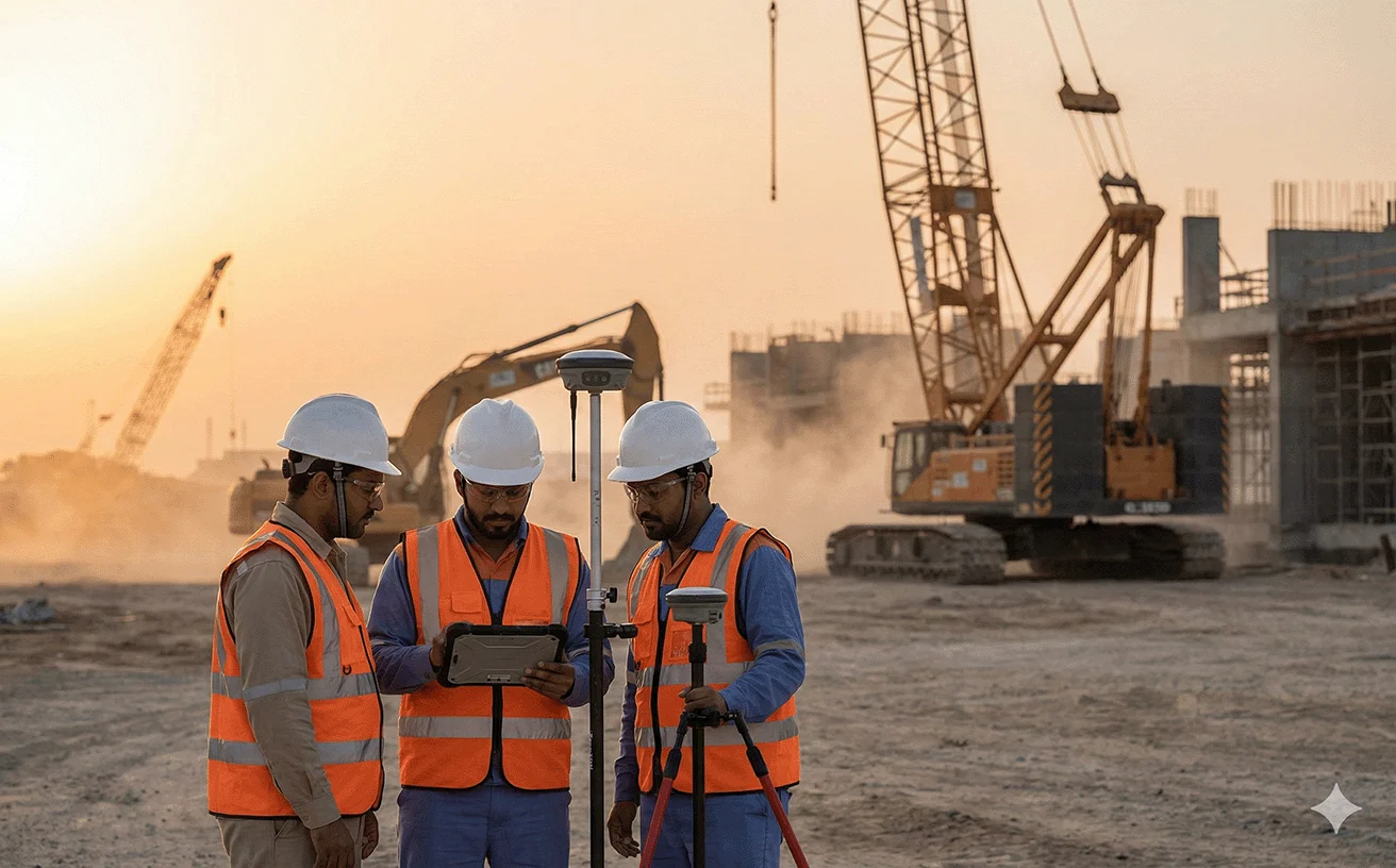
Complex & Regulated Environments
Execution across airport zones, marine corridors, high-rise developments, and major infrastructure projects.
Structured Deliverables
CAD drawings, classified point clouds, BIM-ready models, GIS databases, aeronautical studies, and authority-compliant documentation.
Regional Presence
United Arab Emirates
Abu Dhabi & Dubai
Nationwide execution across infrastructure, aviation, and development sectors.
Kingdom of Saudi Arabia
Riyadh
Supporting infrastructure, aviation, and large-scale geospatial projects across Riyadh and the Eastern Province.
GCC Deployment Capability
Oman · Qatar · Bahrain · Kuwait
Project-based mobilization across the broader Gulf region.
Certified & Approved
Al Warqa Survey Engineering operates in alignment with regional regulatory standards and international management systems.
Certifications
ISO 9001
Quality Management
ISO 14001
Environmental Management
ISO 45001
Health & Safety
Registered & Approved With

Certification documentation available upon request.
Contact us directly
Reach our team instantly via WhatsApp, phone, or email.
Also available in Riyadh