Topographic & Terrain Mapping
High-accuracy terrain and elevation mapping for infrastructure, development, and engineering projects.

Terrain Data for Engineering and Design
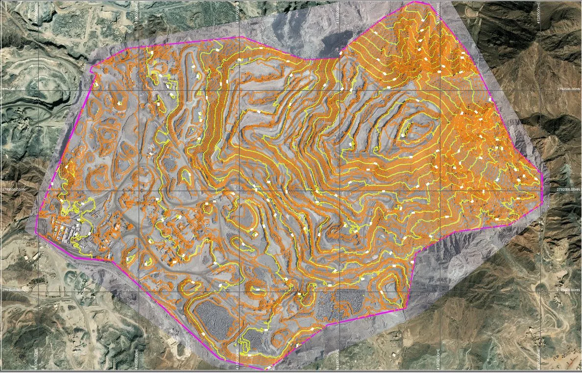
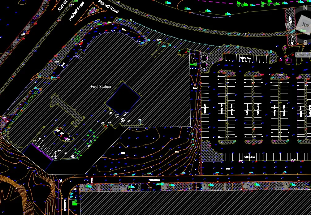
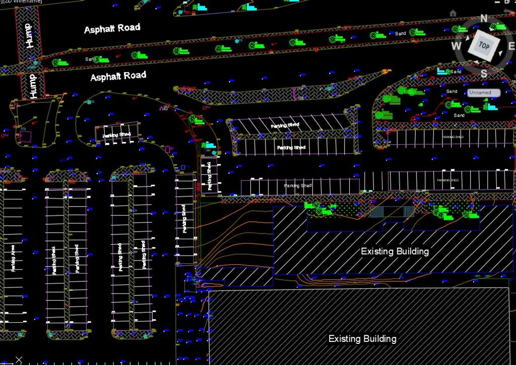
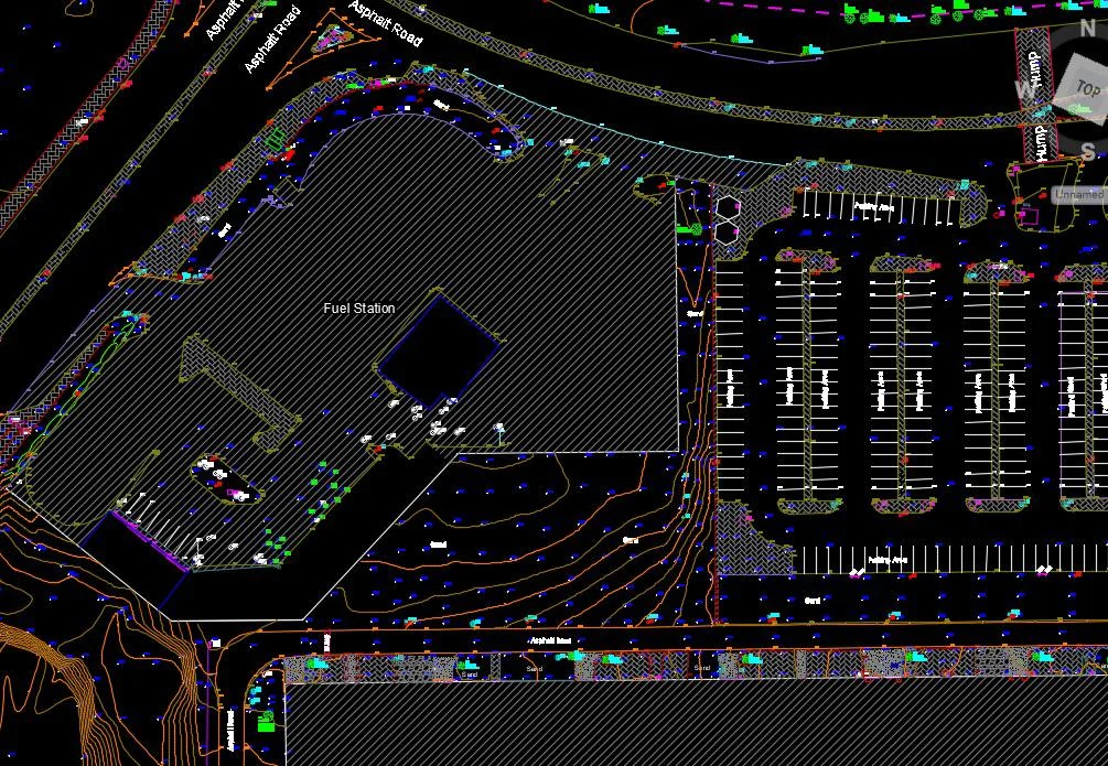
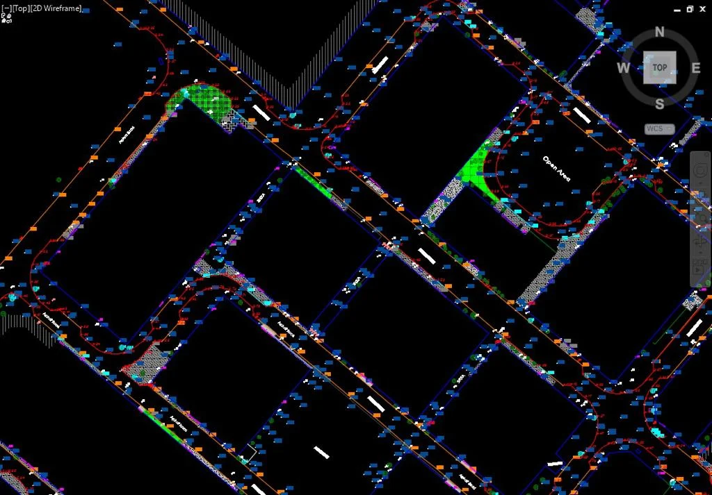
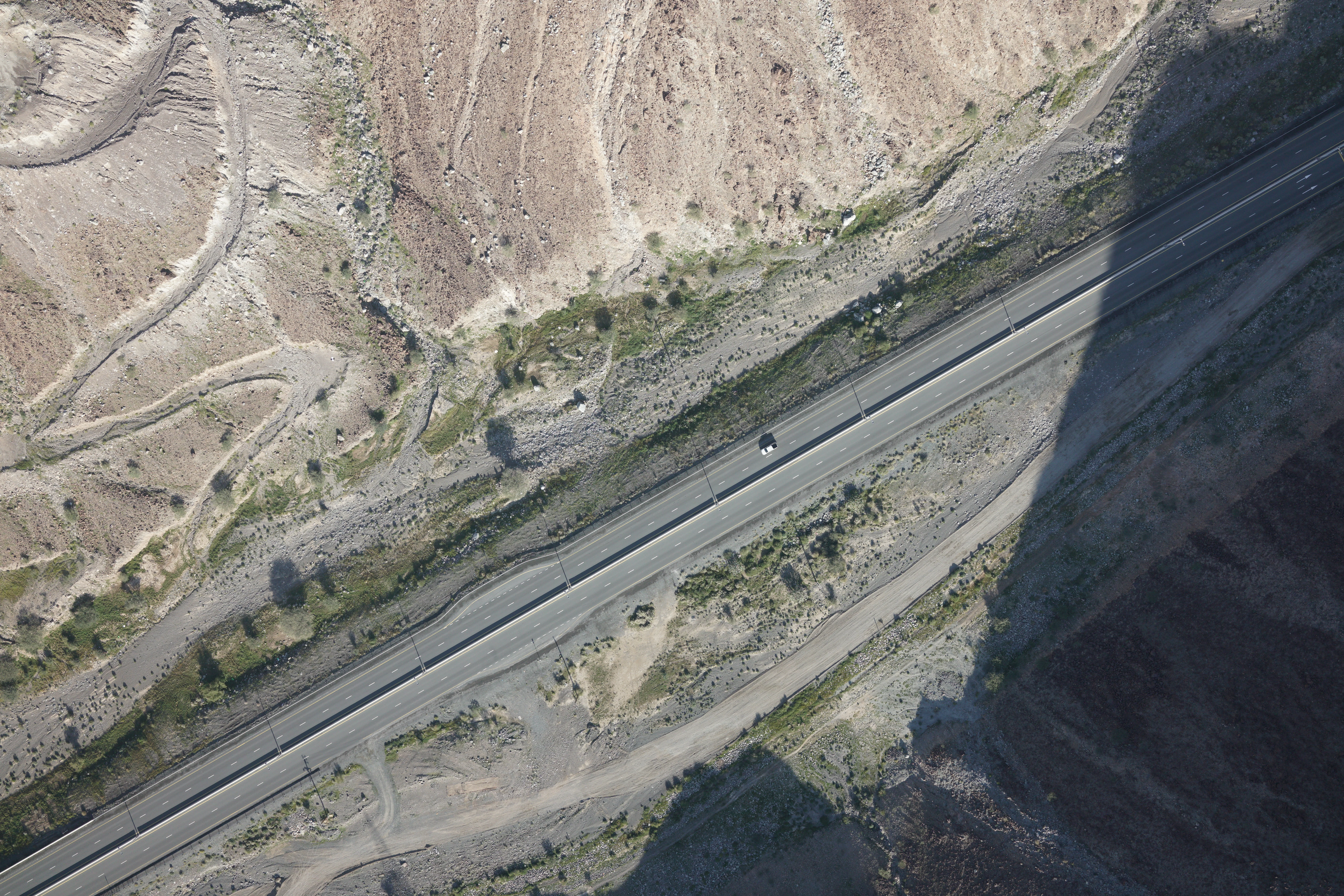
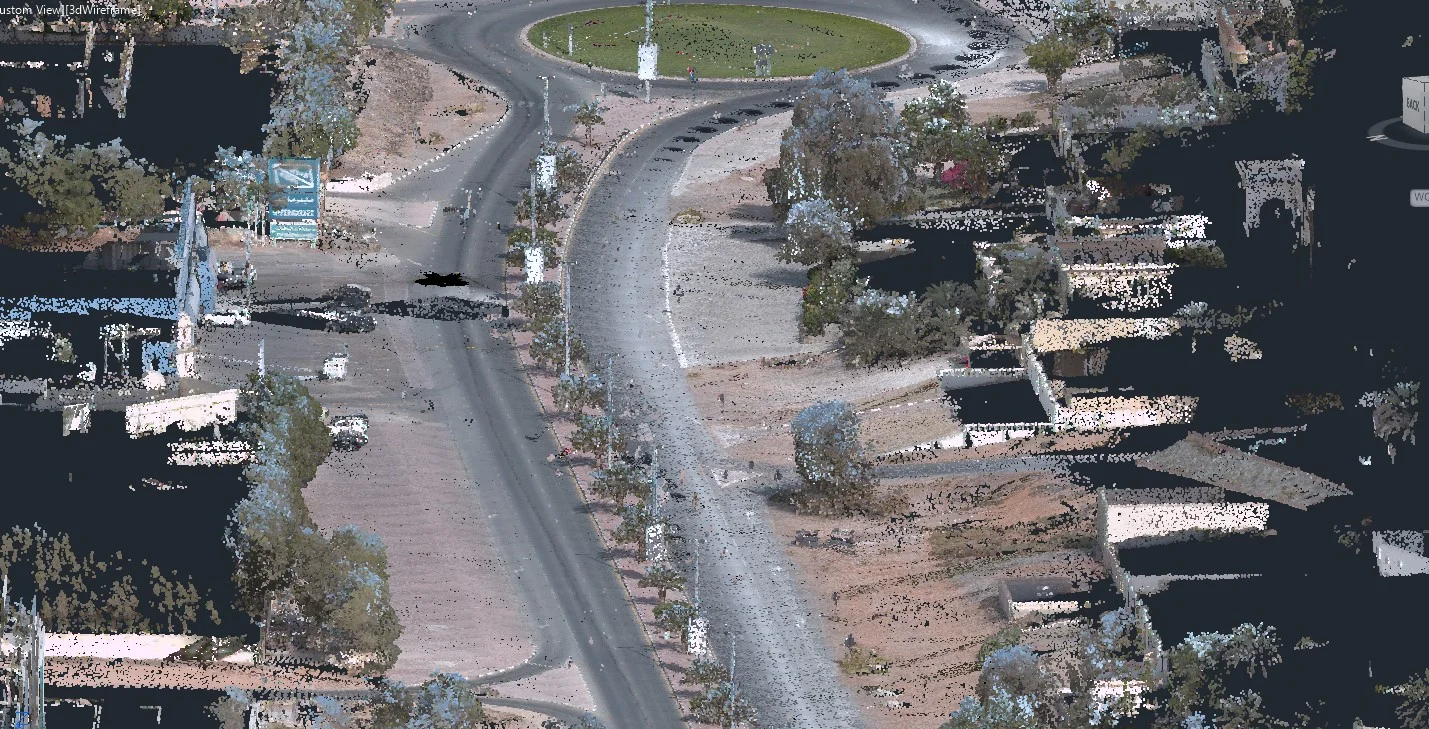
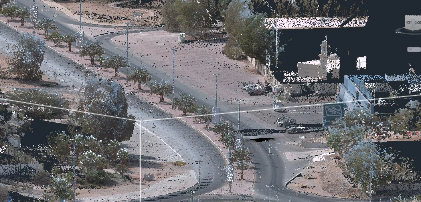
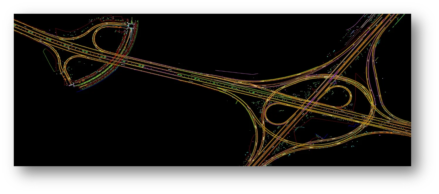
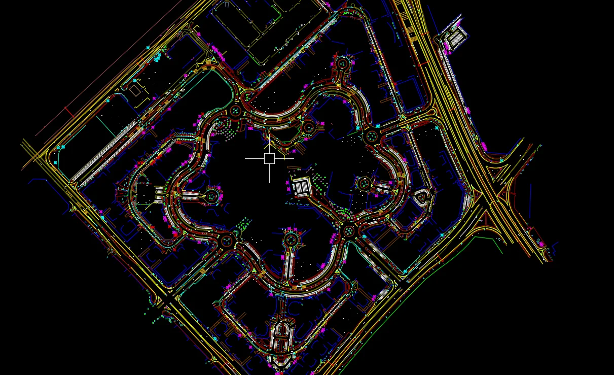
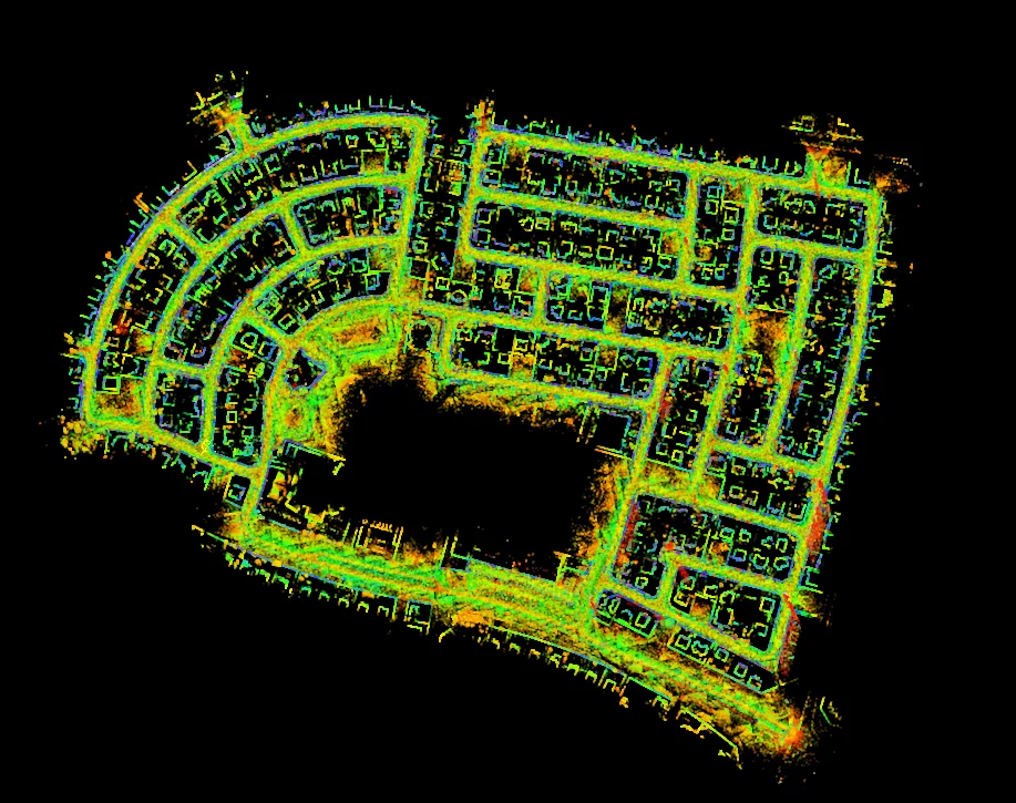
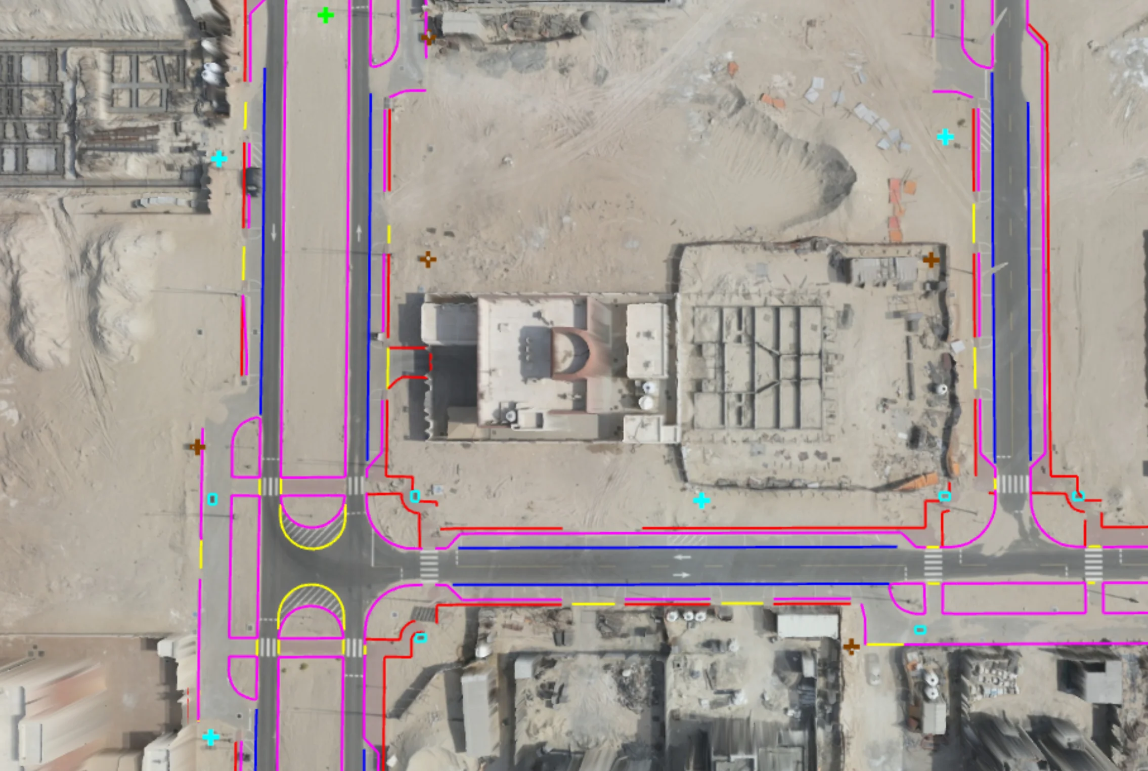
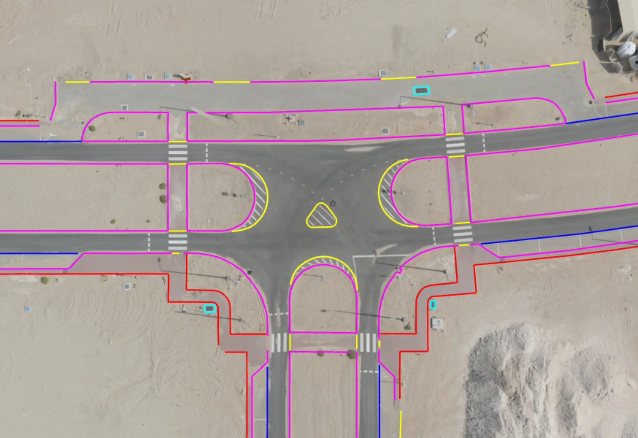
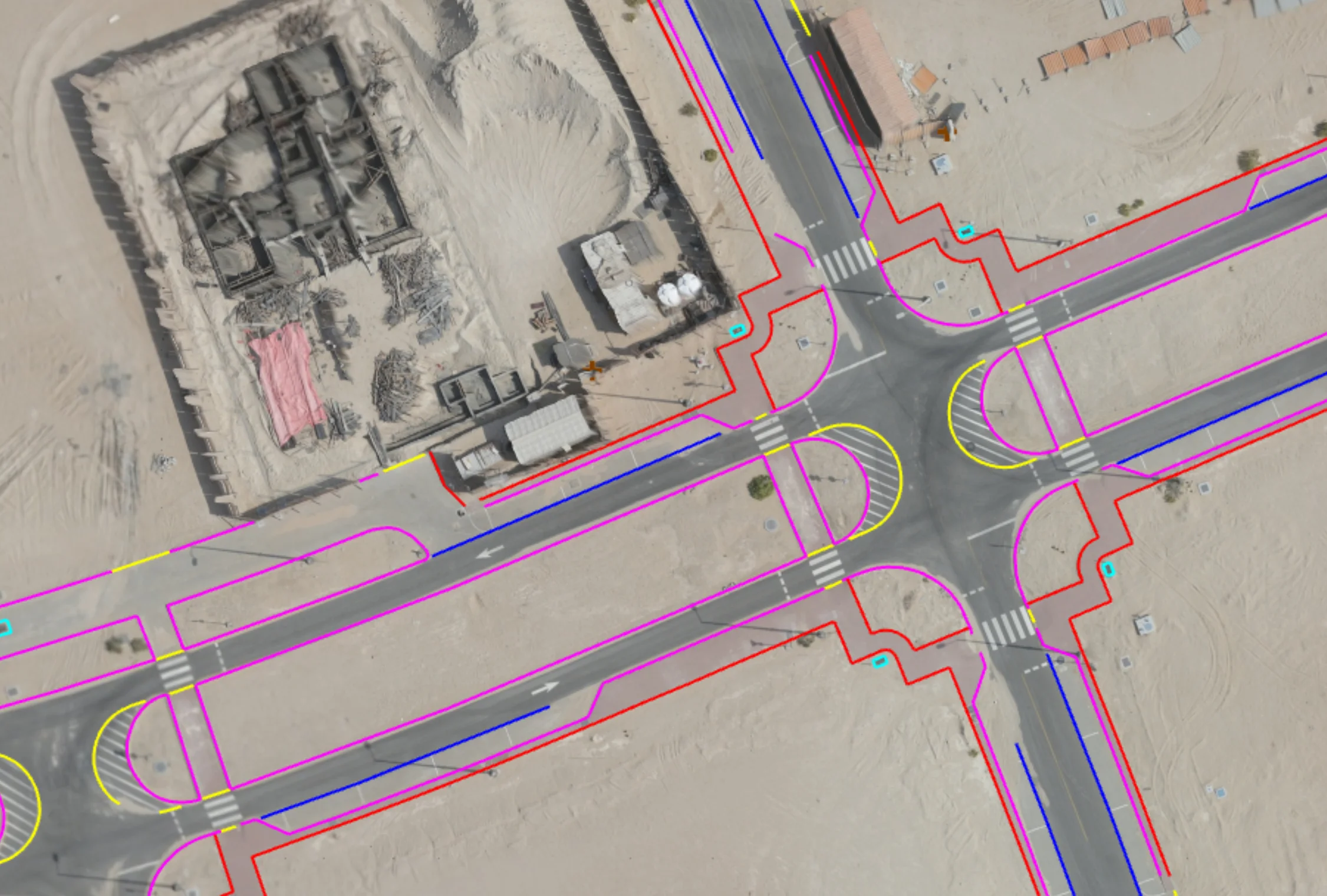
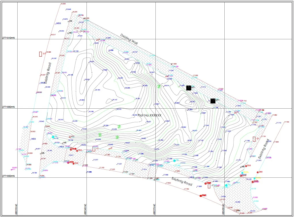
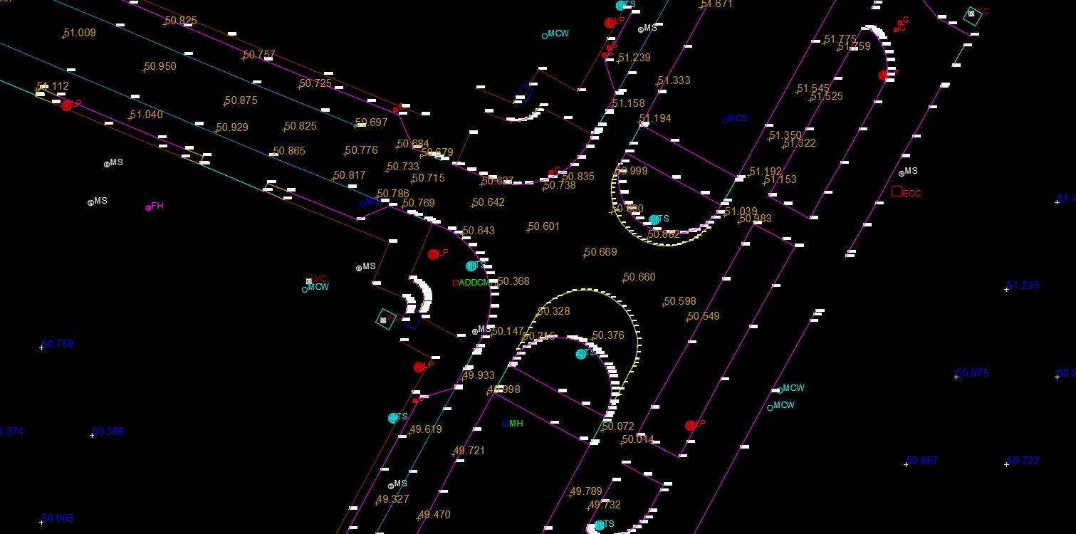
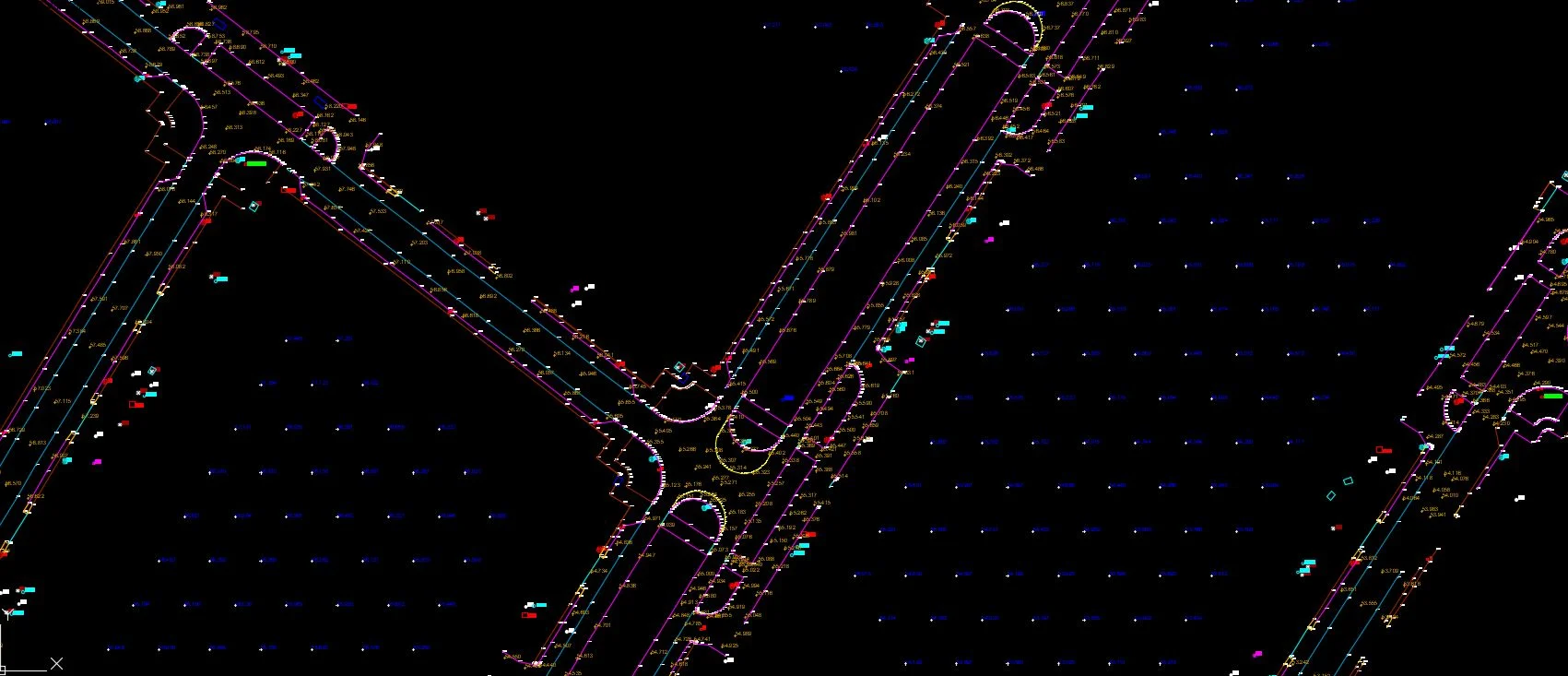
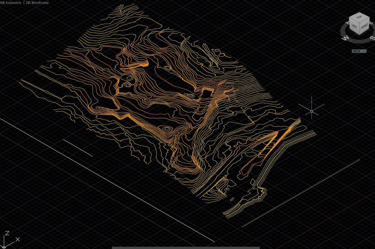
Topographic and terrain mapping captures ground elevations, contours, natural features, and existing site conditions to support engineering design and construction planning. These surveys establish the base spatial framework required for grading, drainage design, corridor alignment, and land development works.
Our Methodology
Delivering excellence through a proven three-stage workflow
Control Establishment & Field Survey
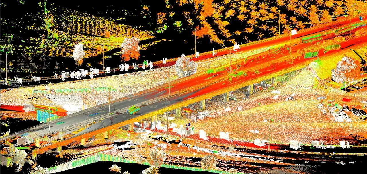
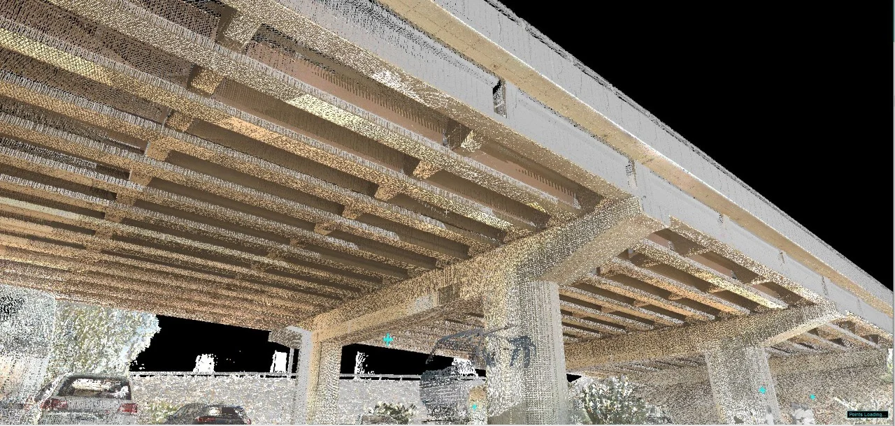
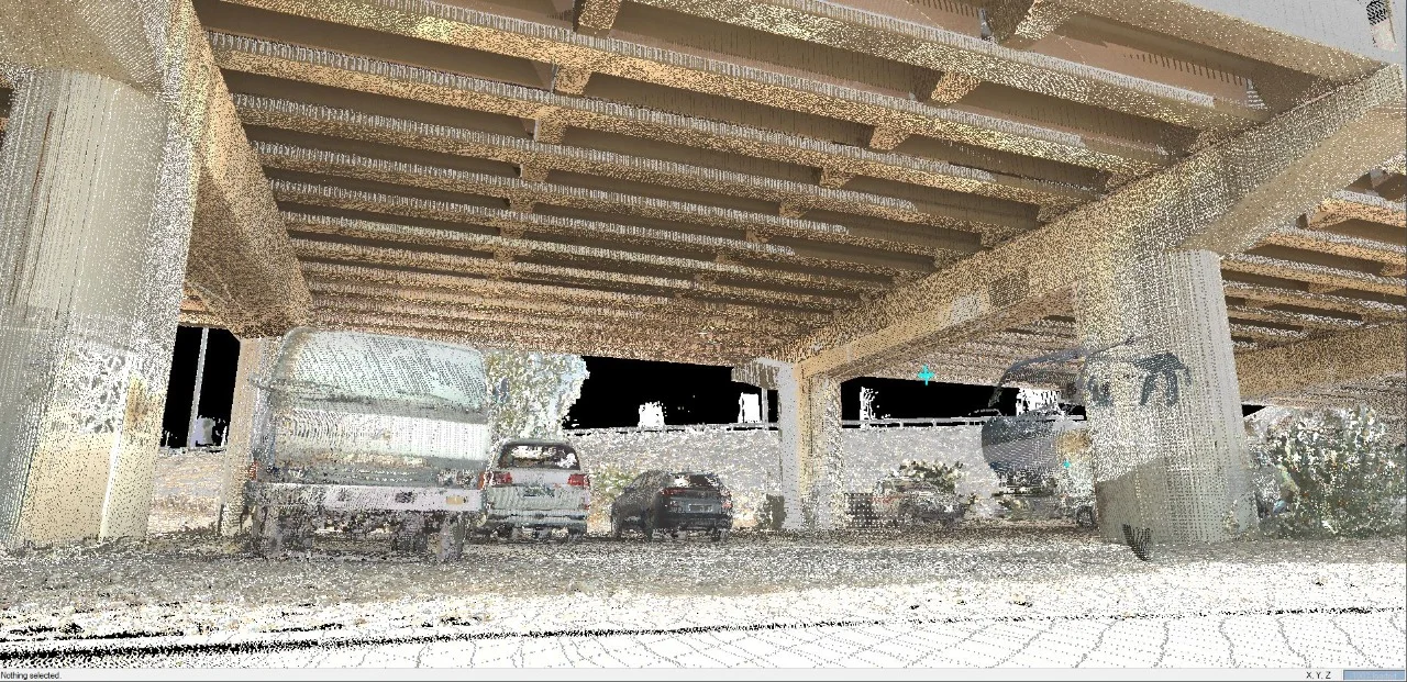
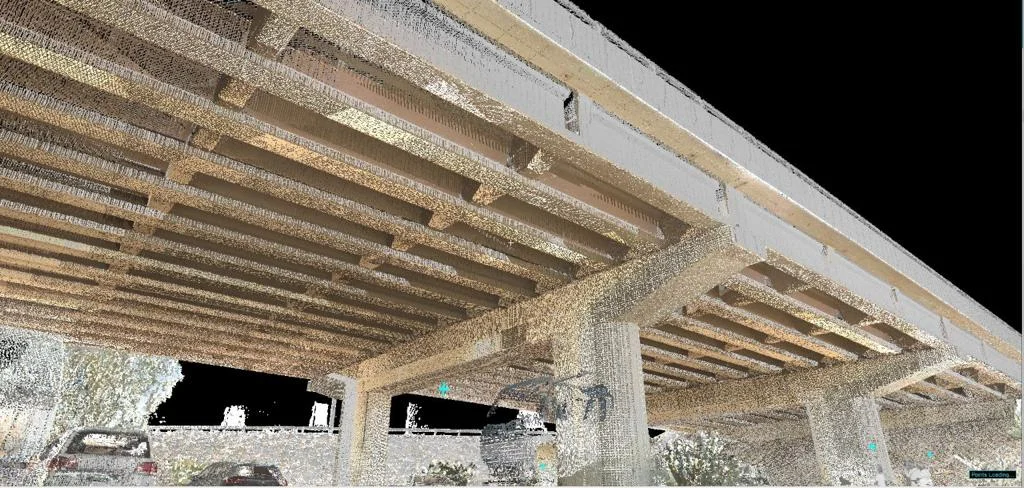
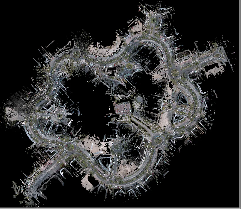
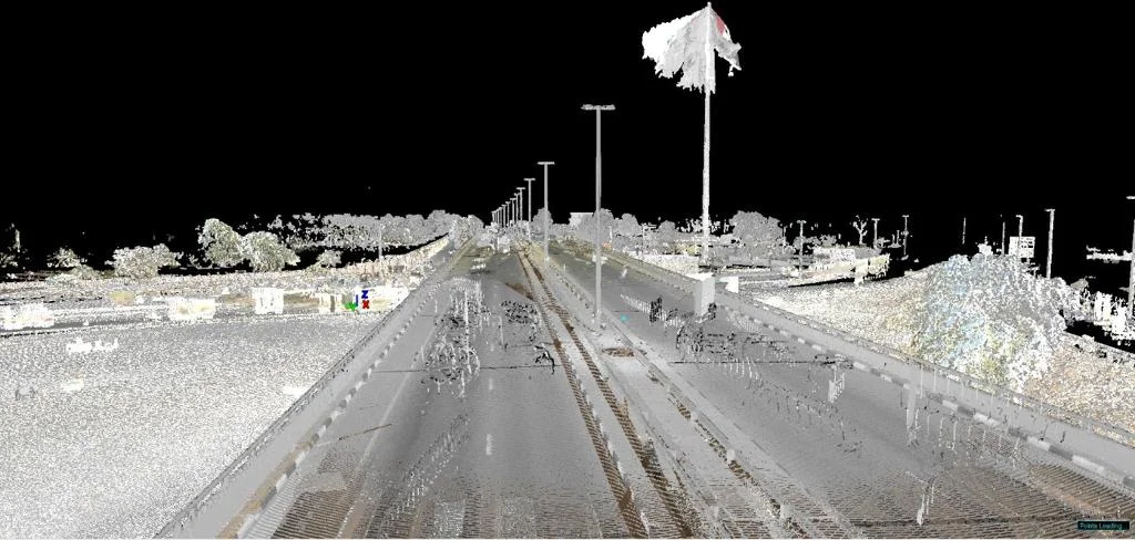
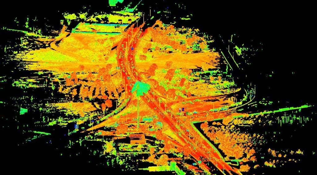
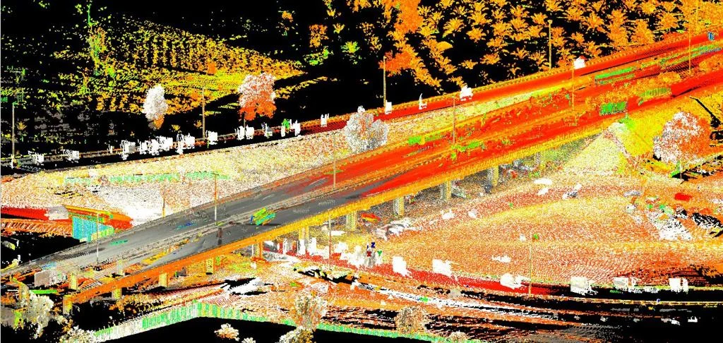
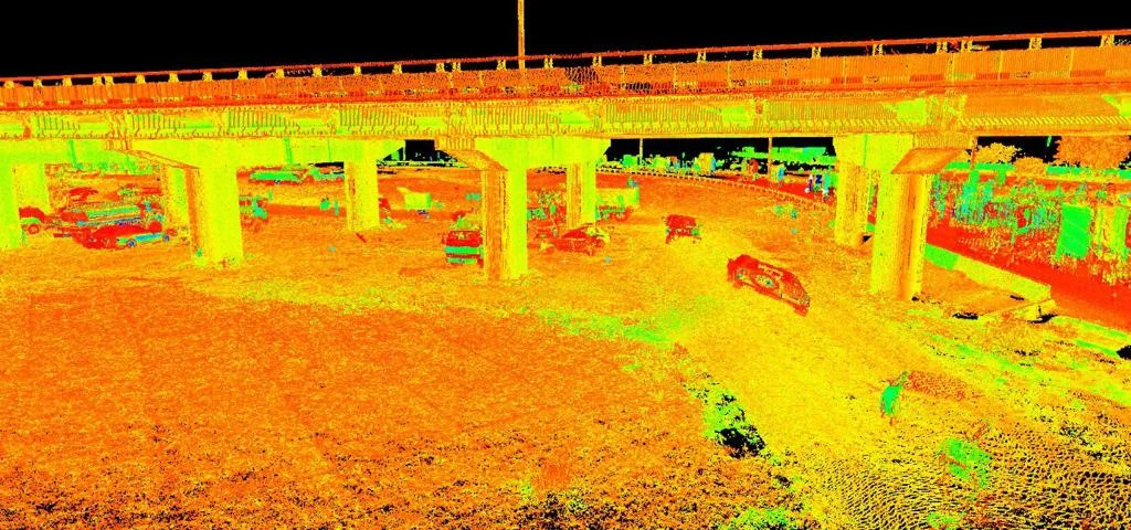
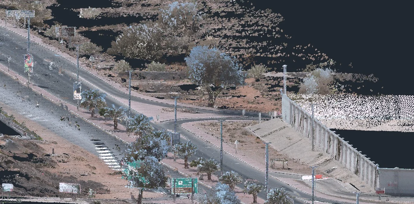
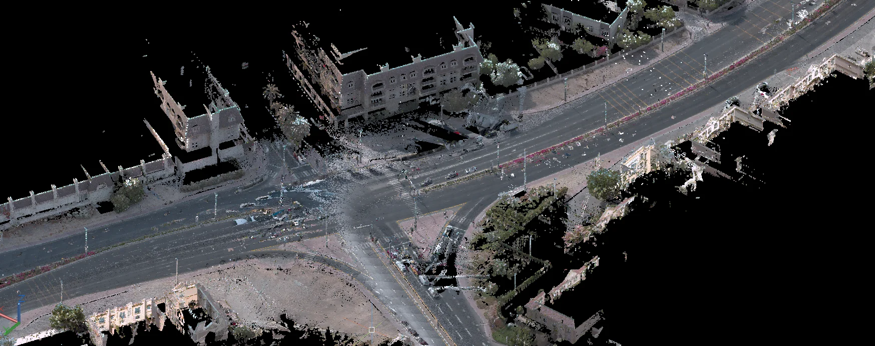
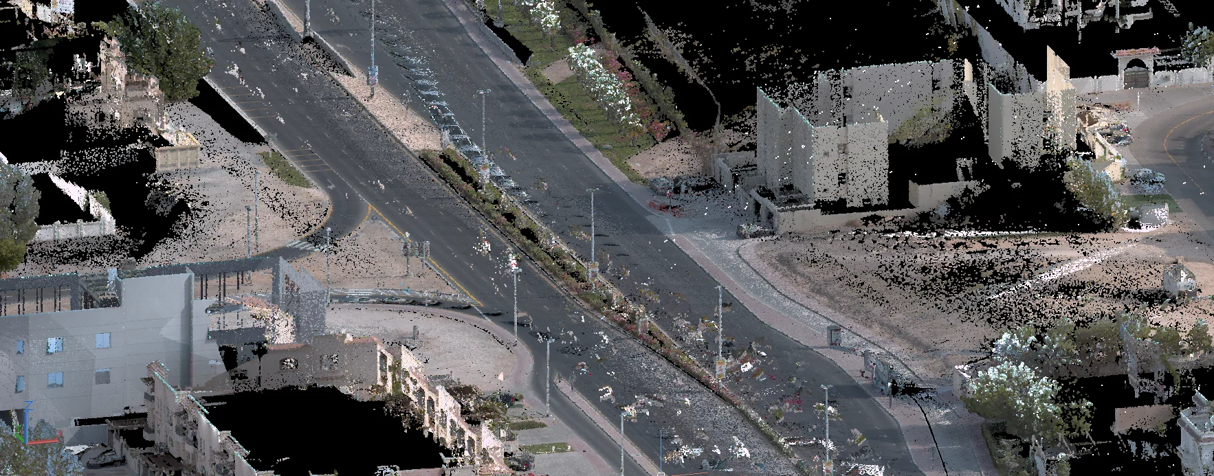
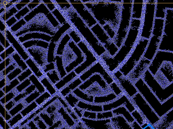
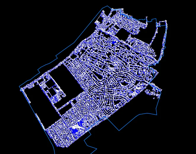
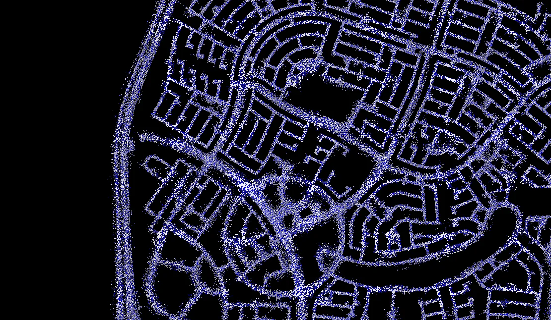
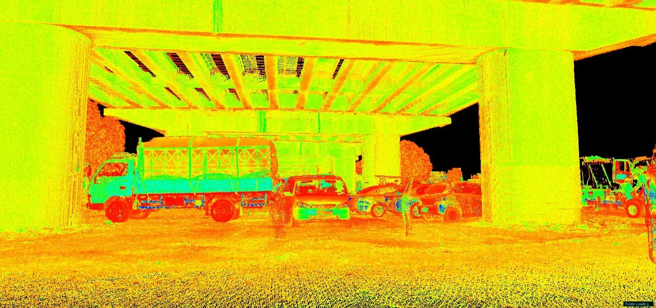
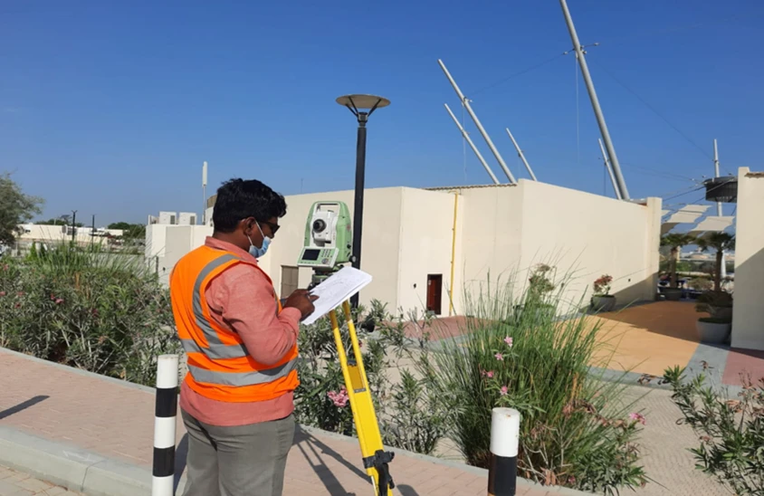
Creation of horizontal and vertical control networks followed by GNSS, total station, LiDAR, or UAV-based data capture depending on site conditions.
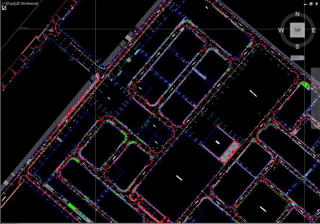
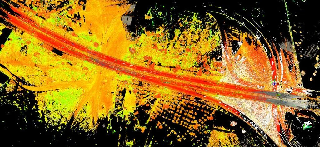
Data Processing & Surface Modeling
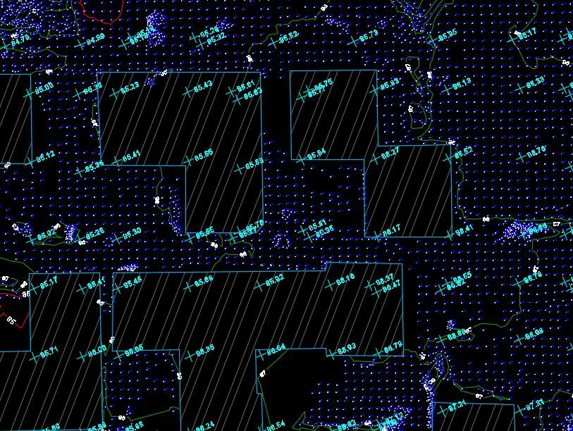
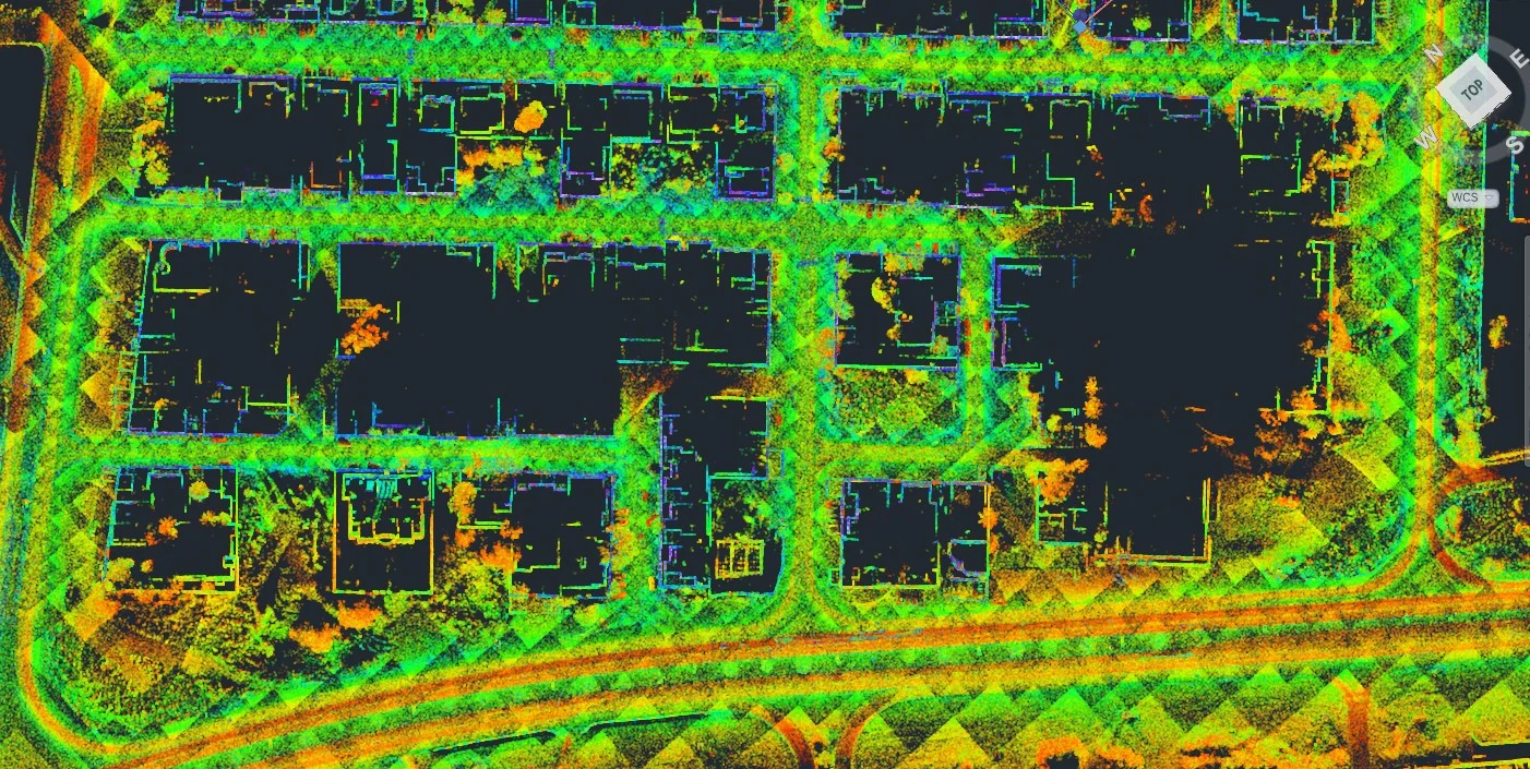
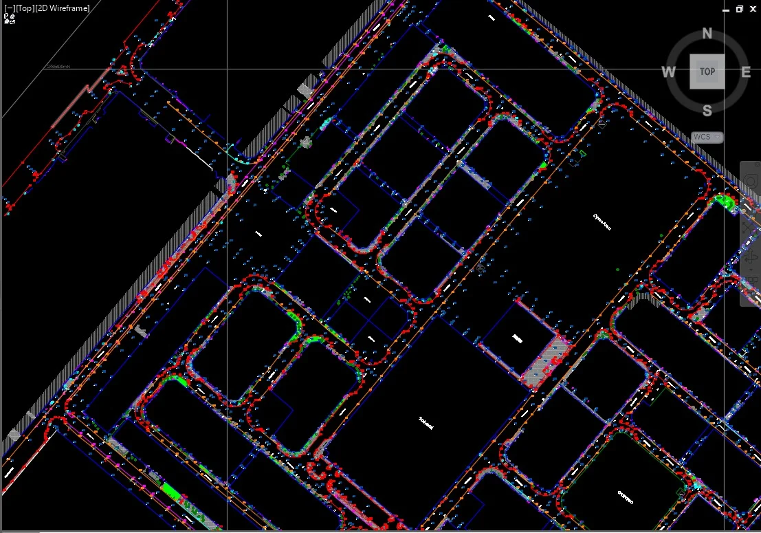
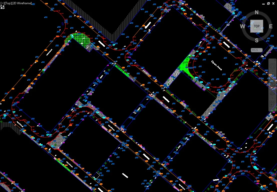
Coordinate adjustment, point filtering, terrain classification, and generation of digital terrain models with internal QA/QC validation.
Drawing & Model Production
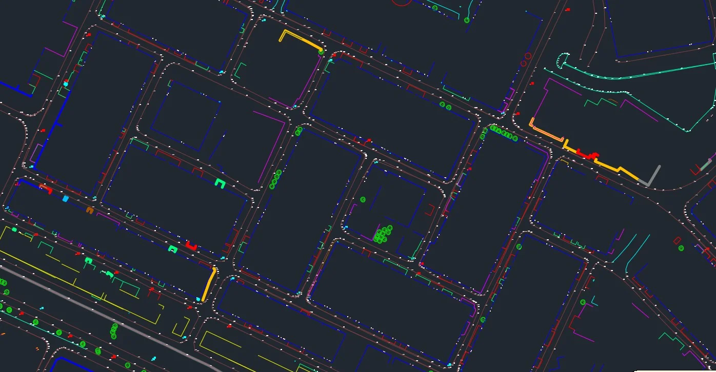
Preparation of contour plans, DTM/DSM models, spot level drawings, and structured CAD outputs aligned to project specifications.
Applications
Industry sectors and use cases we serve
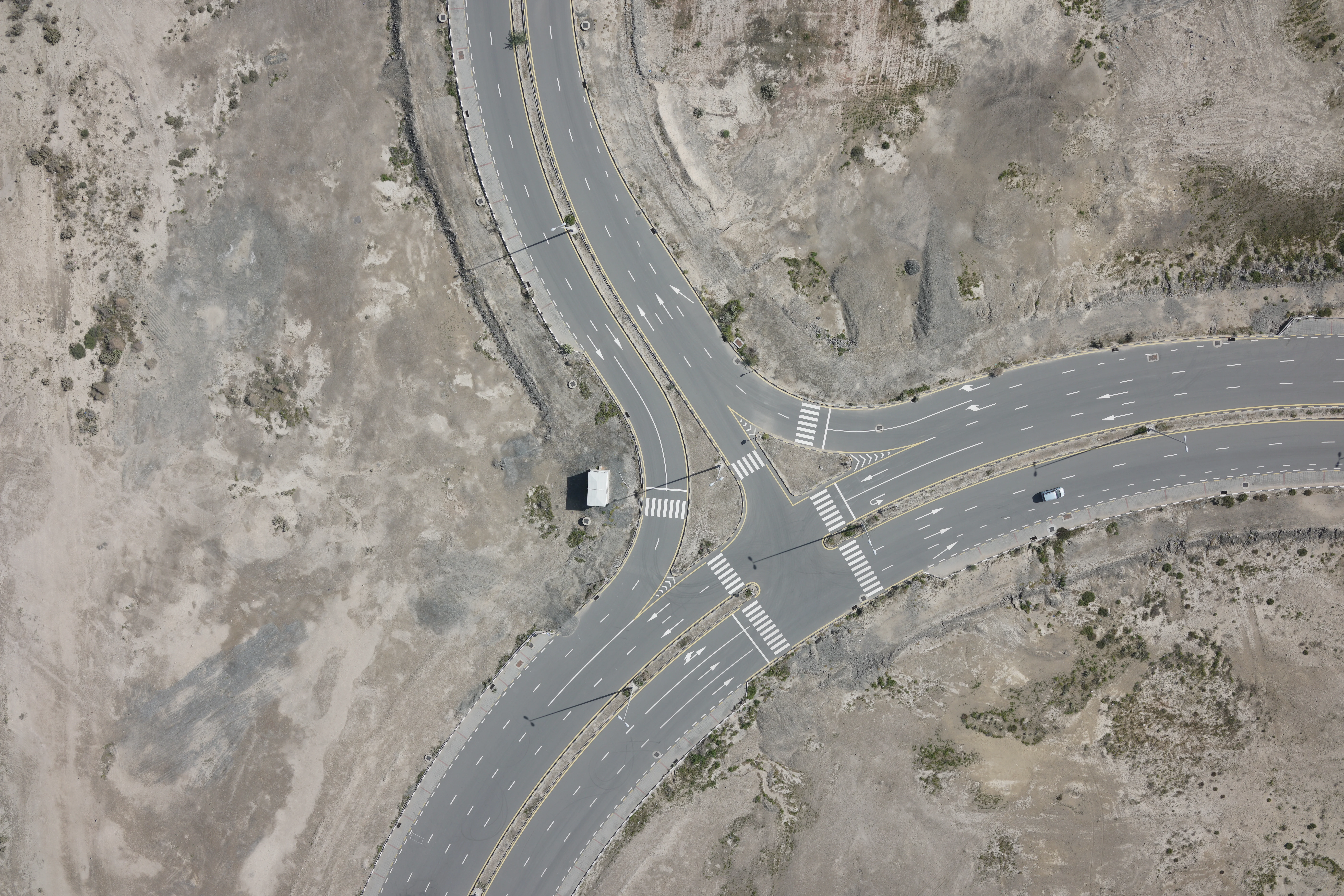
Infrastructure & Road Design
Provides elevation data for alignment, grading, and cross-section development
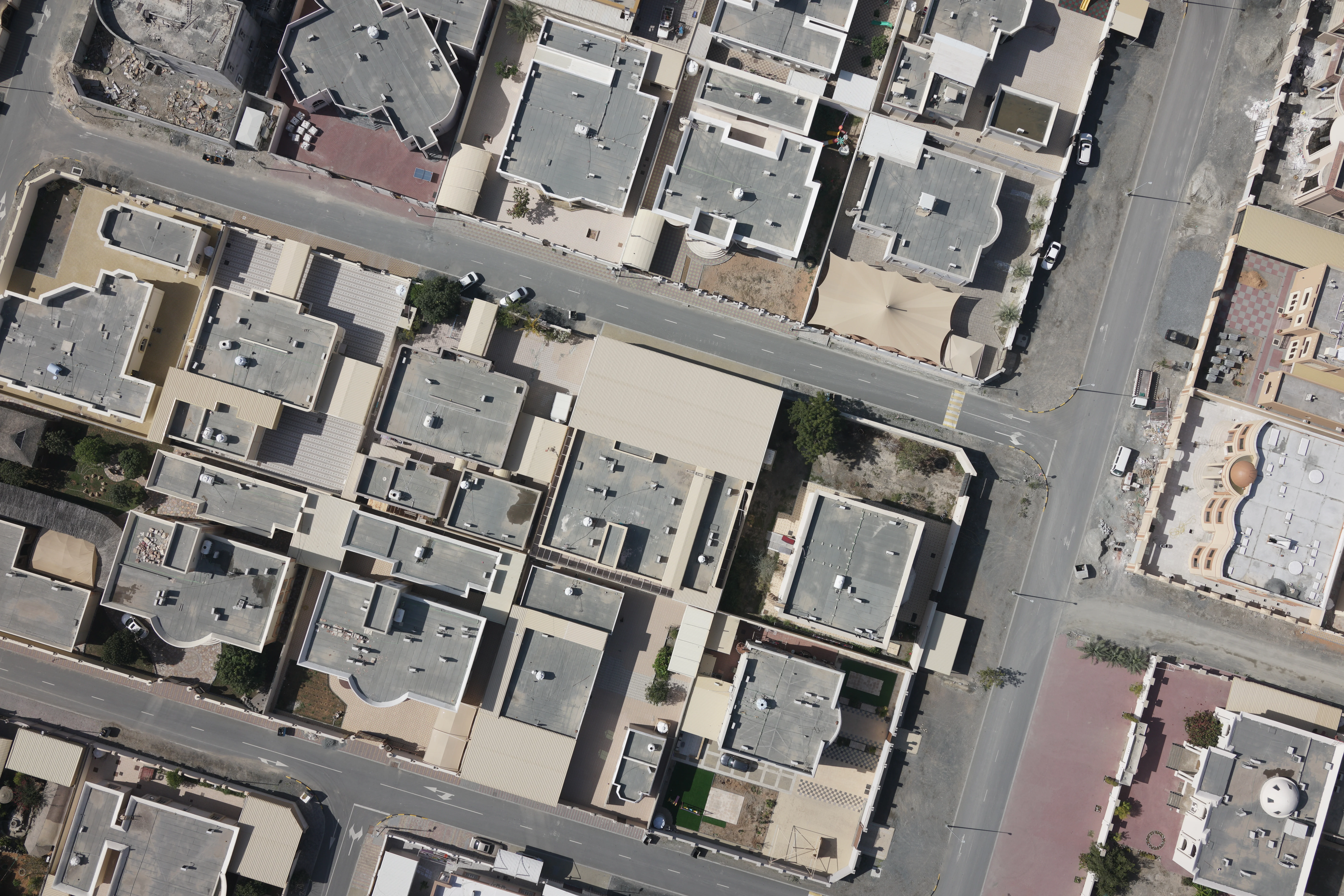
Real Estate & Master Planning
Establishes terrain baseline for site layout and earthworks planning
Rail & Corridor Projects
Supports longitudinal profiling and slope analysis
Utilities & Drainage Design
Assists in pipe routing, invert level planning, and flow calculations
Deliverables
What you receive at the end of every project
- Contour maps (custom interval as specified)
- Digital Terrain Model (DTM)
- Digital Surface Model (DSM)
- Triangulated Surface Model (TIN)
- Spot level and breakline drawings
- Longitudinal and cross-section profiles
- Cut and fill volume calculations (if required)
- CAD drawingsDWG / DXF
- GIS layersSHP / Geodatabase
- Survey report with accuracy statement


Technology Stack
Industry-leading equipment and software
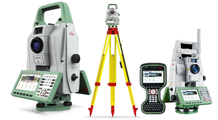
GNSS & Total Stations
Advanced surveying technology for precision data capture and analysis.
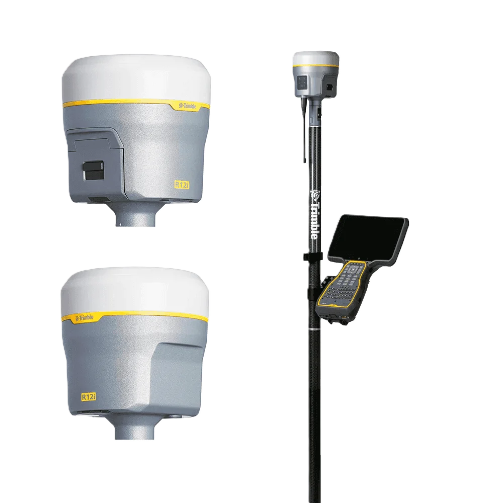
Trimble R12 GNSS
Advanced surveying technology for precision data capture and analysis.

AutoCAD Civil 3D
Advanced surveying technology for precision data capture and analysis.

Leica Geo Office
Advanced surveying technology for precision data capture and analysis.

Global Mapper
Advanced surveying technology for precision data capture and analysis.
Frequently Asked Questions
Standard contour intervals are 0.25m, 0.5m, or 1.0m depending on site terrain and project requirements. Custom intervals are available.
Our surveys achieve ±2cm horizontal and ±3cm vertical accuracy, exceeding requirements for most engineering and construction projects.
Yes, we deliver DTMs in multiple formats including Civil 3D TIN surfaces, LandXML, and ASCII grid files for use in design software.
Field survey duration depends on site size and vegetation. Typical 5-hectare sites take 2-3 days for fieldwork plus 3-5 days for CAD production.
Have more questions?
Our team of experts is ready to assist you with your specific project requirements across the GCC.
Related Services
Explore our other professional surveying solutions
Land, Engineering & Cadastral Surveying
Precision boundary, control, and engineering surveys supporting development, construction, and regulatory approvals.

Aerial Drone Mapping
High-resolution aerial data acquisition for terrain modeling, volumetric analysis, and site documentation.
GIS & Geospatial Solutions
Structured geospatial data management, mapping, and spatial analysis services for infrastructure and asset systems.
Contact us directly
Reach our team instantly via WhatsApp, phone, or email.
Also available in Riyadh