Aeronautical & OLS Surveys
Integrated aeronautical surveys and obstacle limitation surface (OLS) studies for airports, high-rise developments, helipads, vertiports, and controlled airspace projects.
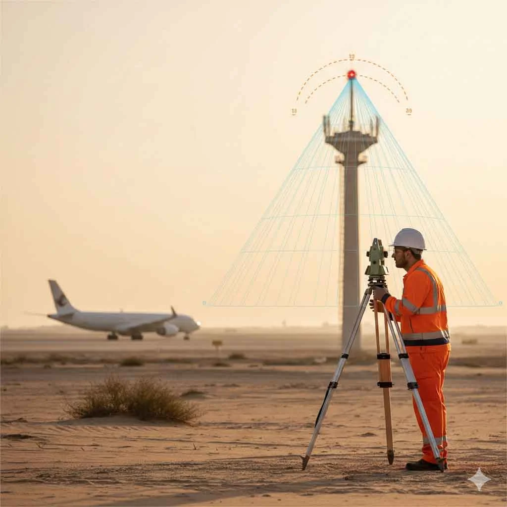
Airspace Safety Through Precision Survey and Analysis
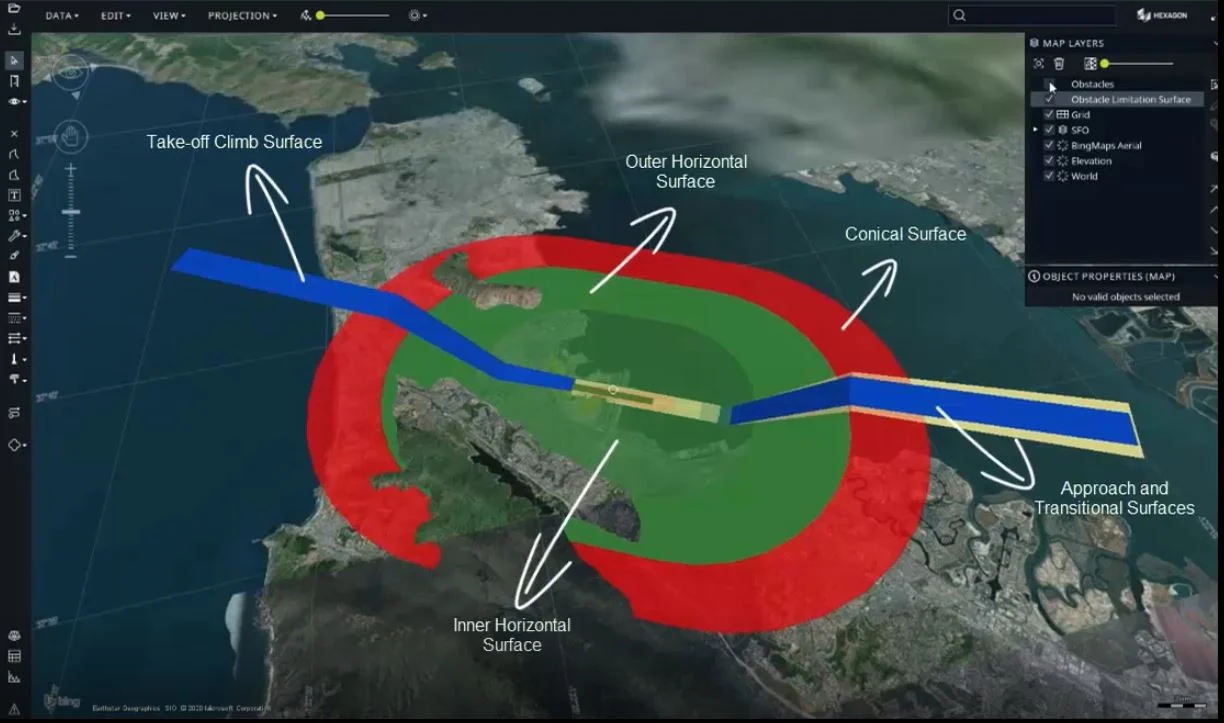
Aeronautical surveys combine high-accuracy terrain and structure measurements with detailed airspace analysis to assess compliance within protected aviation zones. We conduct OLS modeling and full aeronautical studies for airport infrastructure, high-rise towers, cranes, helipads, and vertiports to verify height clearance and airspace safety.
Our services integrate precise survey data with aviation regulatory criteria to support safe vertical development within controlled airspace.
Our Methodology
Delivering excellence through a proven three-stage workflow
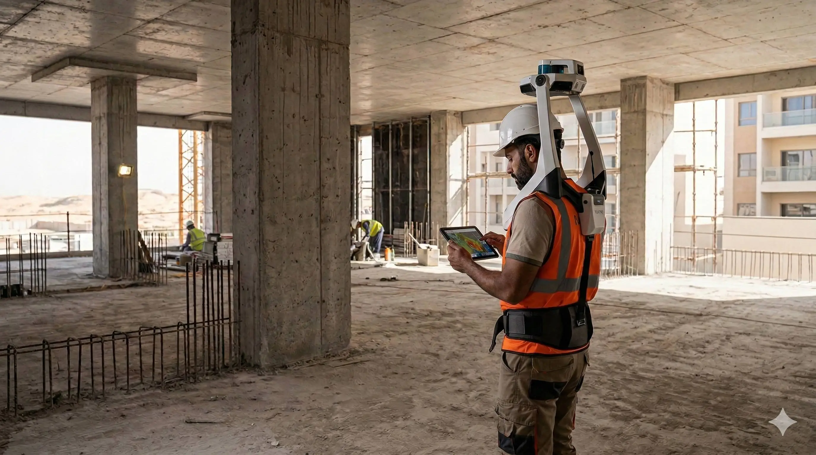
Survey & Elevation Data Capture
Measurement of terrain, proposed tower heights, airport structures, and surrounding obstacles using GNSS, total station, or LiDAR with verified vertical control.
OLS & Airspace Clearance Analysis
Generation of obstacle limitation surfaces and evaluation of height penetration, runway approach clearance, and vertical envelope compliance.
Aeronautical Study & Reporting
Preparation of height clearance studies, penetration reports, and authority-compliant technical documentation.
Applications
Industry sectors and use cases we serve
High-Rise Tower Height Clearance
Assesses maximum permissible building heights within controlled airspace
Airport Infrastructure Compliance
Evaluates runways, taxiways, and airside structures against OLS criteria
Crane & Temporary Structure Clearance
Verifies allowable crane heights during construction
Helipad Obstacle Clearance Studies
Ensures rooftop and ground helipads meet approach surface requirements
Vertiport Airspace Evaluation
Conducts surface and obstacle assessment for urban air mobility facilities
Deliverables
What you receive at the end of every project
- OLS and protection surface models
- Height clearance analysis report
- Obstacle penetration study
- High-rise tower height assessment documentation
- Crane clearance evaluation
- Helipad and vertiport compliance reports
- Aircraft warning light requirement study
- Compliance drawingsDWG / PDF
- Survey coordinate and elevation report
- Authority-ready submission package
Technology Stack
Industry-leading equipment and software
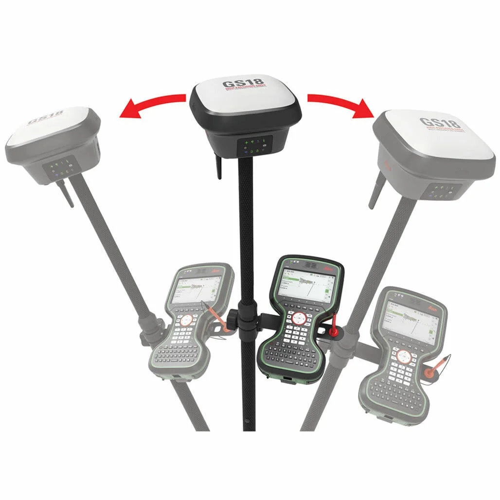
Leica GS18 GNSS
Advanced surveying technology for precision data capture and analysis.
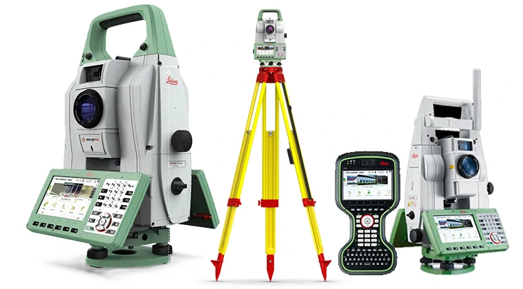
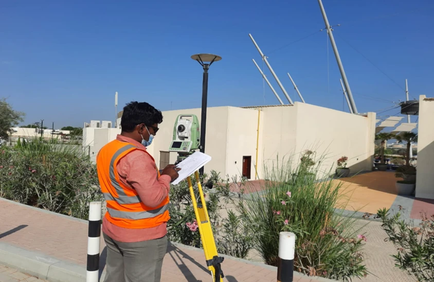
GNSS & Total Stations
Advanced surveying technology for precision data capture and analysis.
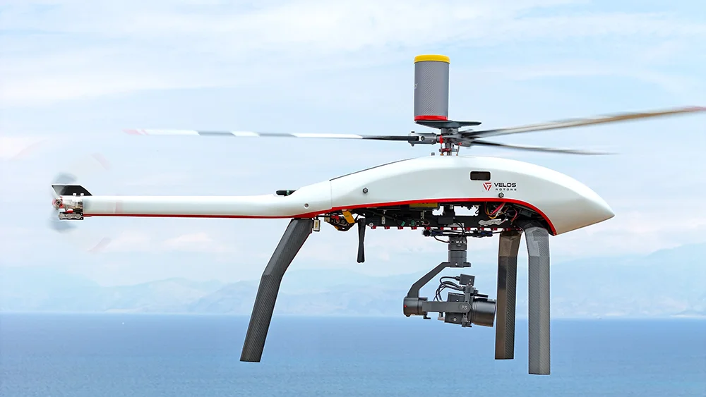
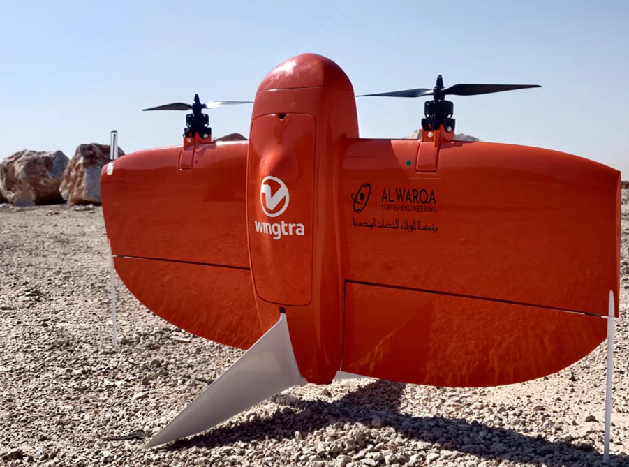
UAV Photogrammetry
Advanced surveying technology for precision data capture and analysis.
AutoCAD Civil 3D
Advanced surveying technology for precision data capture and analysis.
ICAO eTOD Tools
Advanced surveying technology for precision data capture and analysis.
Our Recent Projects
Al Maktoum International Airport
Comprehensive OLS survey for expansion phase
- Surveyed 15km² area
- Identified 247 obstacles
- DCAA NOC obtained
Dubai Heliport Network
Survey and certification of 8 heliports
- ICAO Annex 14 compliance
- Lighting surveys
- Obstacle assessments
Frequently Asked Questions
Obstacle Limitation Surface surveys identify obstacles (buildings, trees, structures) that penetrate imaginary surfaces around airports defined by ICAO standards.
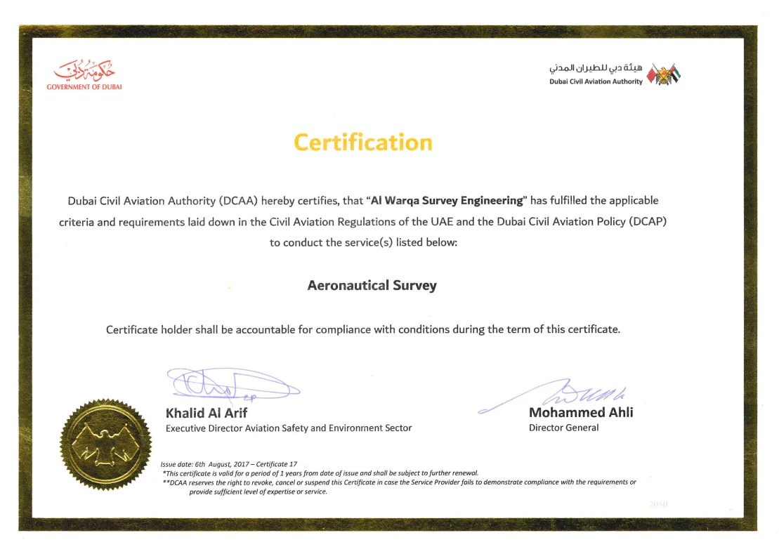
Yes, we prepare complete NOC application packages and coordinate submissions with Dubai Civil Aviation Authority.
Field surveys typically take 3-7 days depending on airport size. Report preparation and NOC support take 2-4 weeks.
Yes, we coordinate closely with airport operations and follow all safety protocols for working in active airfields.
Have more questions?
Our team of experts is ready to assist you with your specific project requirements across the GCC.
Related Services
Explore our other professional surveying solutions
As-Built Surveys (3D Laser Scanning-Based)
High-accuracy 3D laser scanning for documentation and verification of existing building structures, including slab levels, core walls, and structural geometry.
Aerial Drone Mapping
High-resolution aerial data acquisition for terrain modeling, volumetric analysis, and site documentation.
Land, Engineering & Cadastral Surveying
Precision boundary, control, and engineering surveys supporting development, construction, and regulatory approvals.
Contact us directly
Reach our team instantly via WhatsApp, phone, or email.
Also available in Riyadh