Aerial Drone Mapping
High-resolution aerial data acquisition for terrain modeling, volumetric analysis, and site documentation.
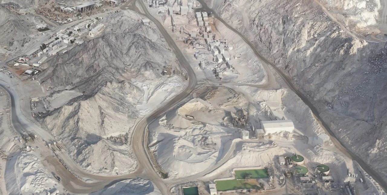
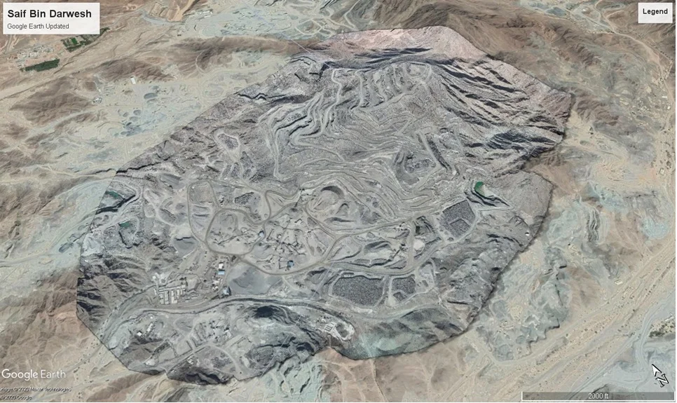
Rapid Aerial Mapping for Large-Scale Projects
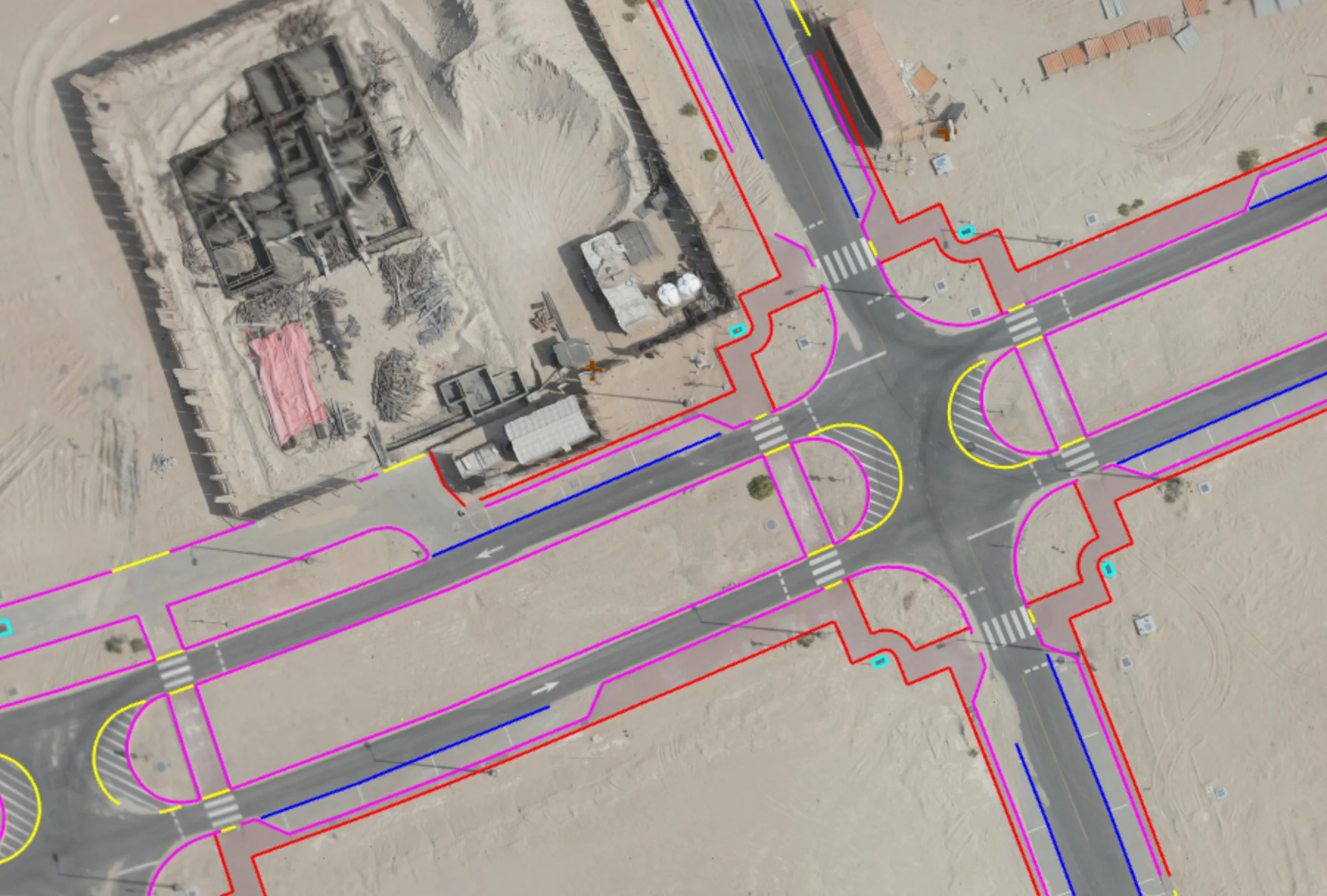
Aerial drone mapping uses UAV-based photogrammetry to generate accurate orthomosaics, surface models, and measurable 3D datasets. It is suited for large sites, construction monitoring, earthworks, and development planning where rapid coverage and reliable terrain data are required.
Our Methodology
Delivering excellence through a proven three-stage workflow
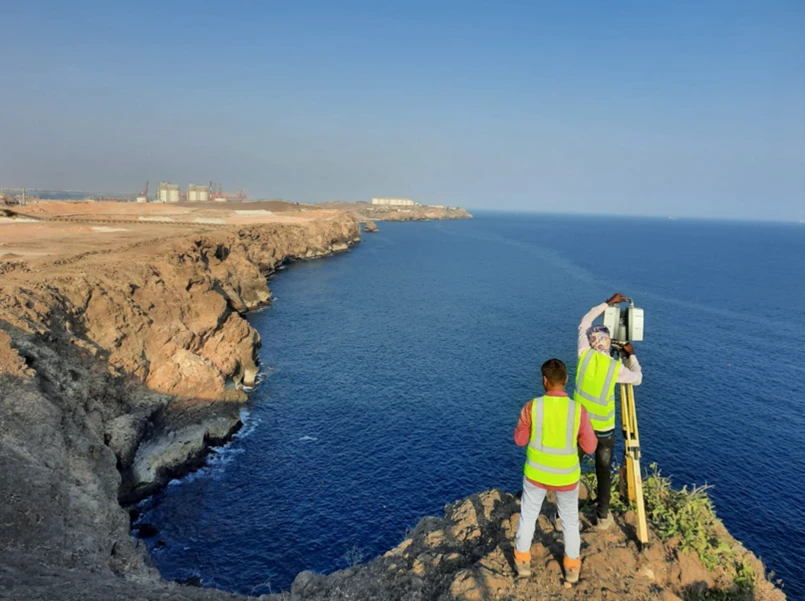
Flight Planning & Ground Control Setup
Establishment of ground control points (GCPs) and structured flight planning to ensure positional accuracy.
Aerial Data Capture
Automated UAV flight missions capturing high-resolution overlapping imagery.
Photogrammetric Processing & QA/QC
Image alignment, dense point cloud generation, surface modeling, and accuracy validation before output generation.
Applications
Industry sectors and use cases we serve
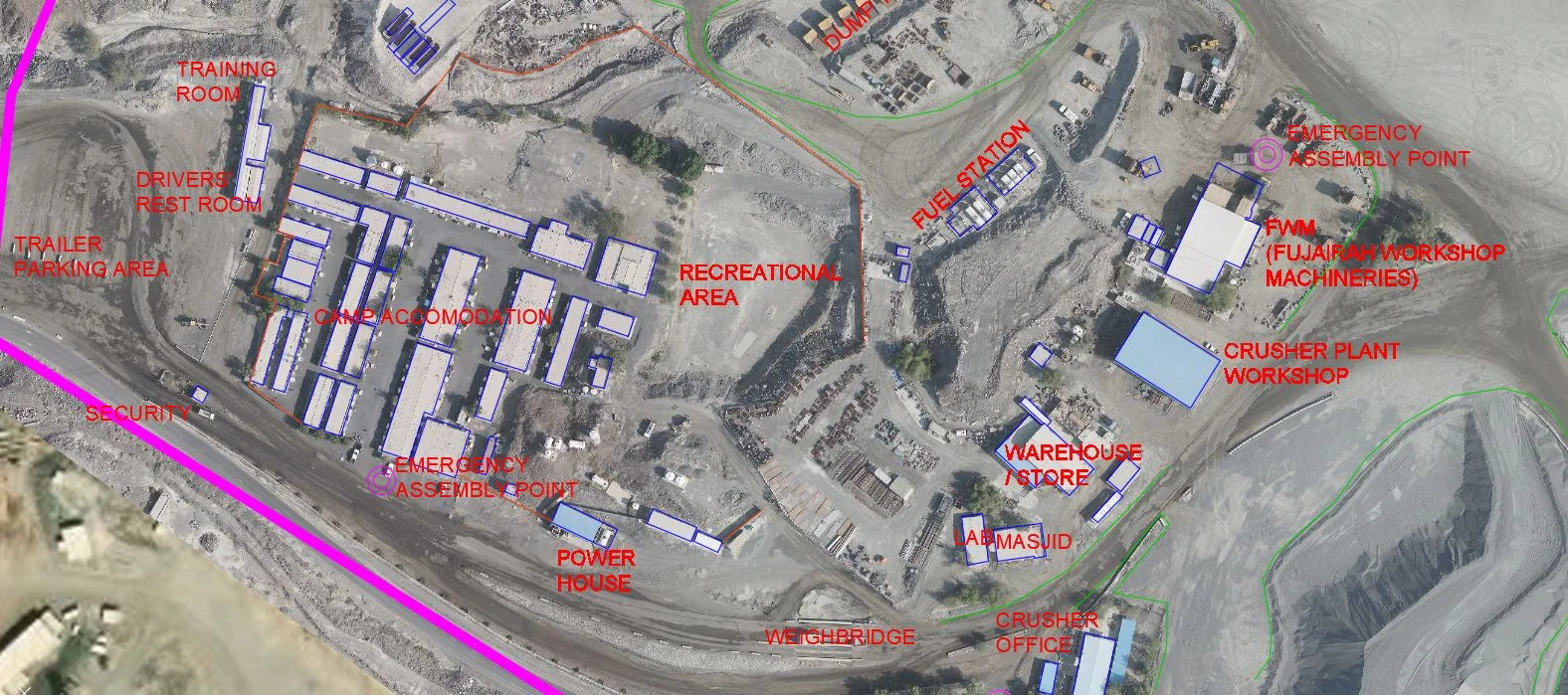
Construction Progress Monitoring
Provides measurable and time-based site updates
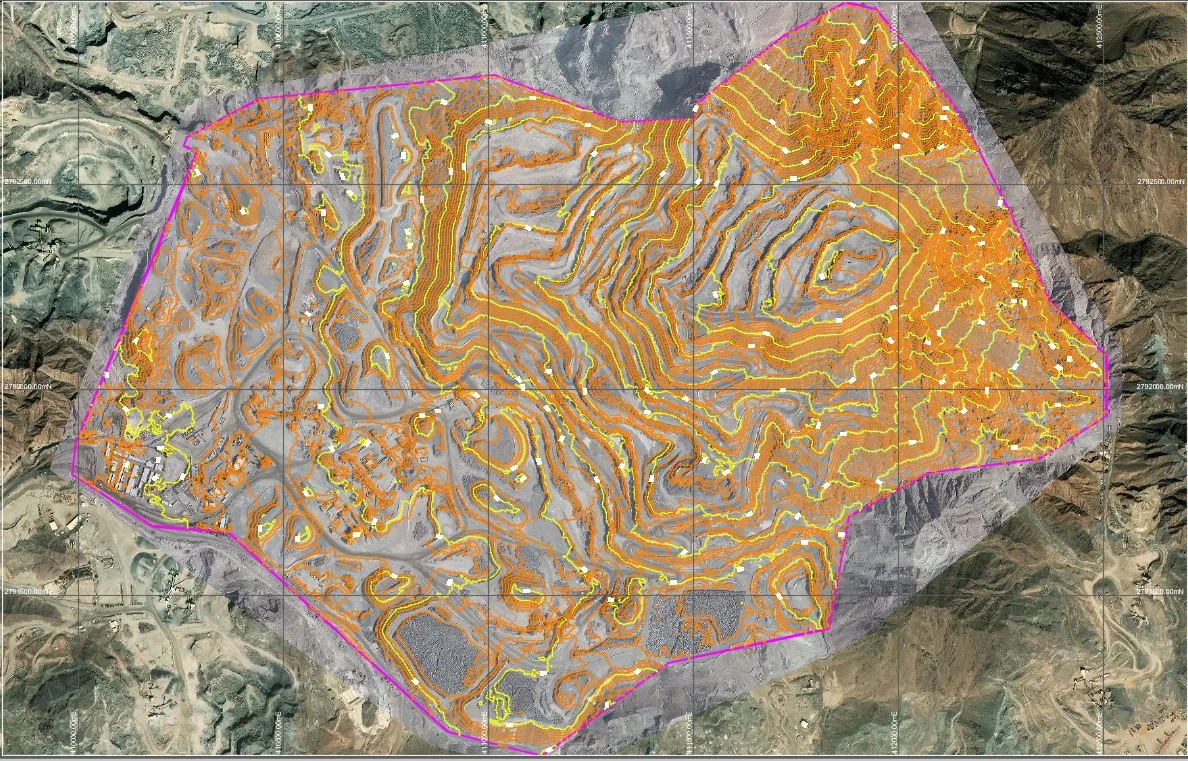
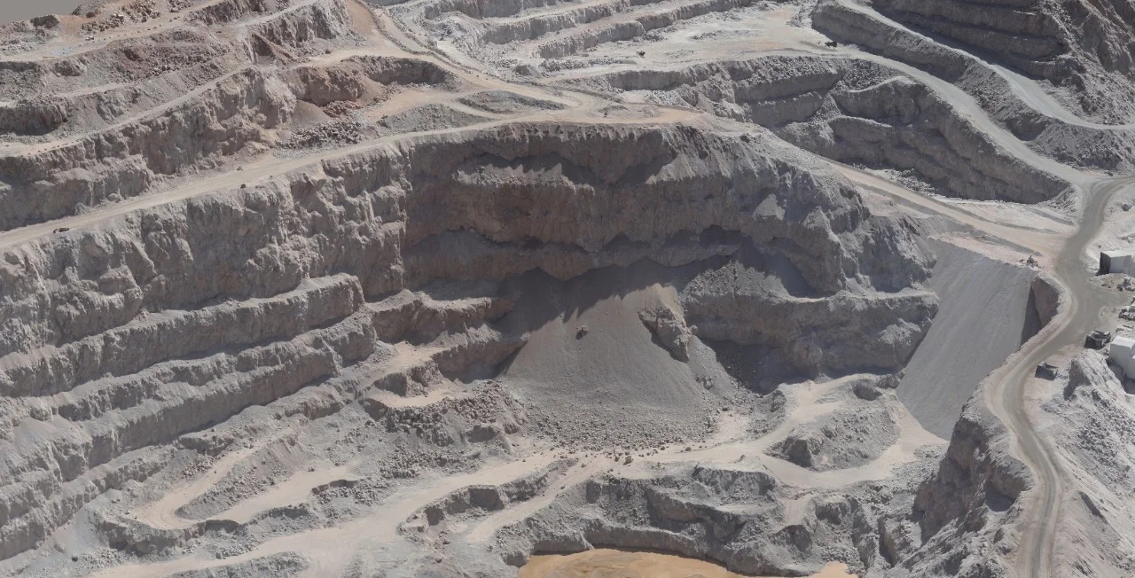
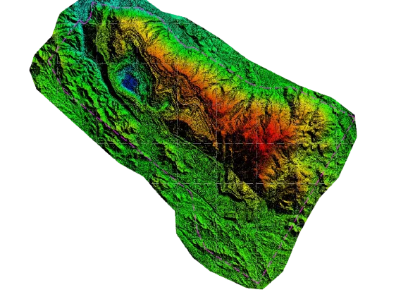
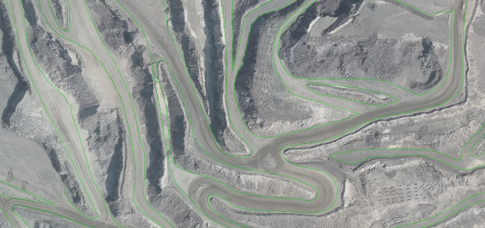
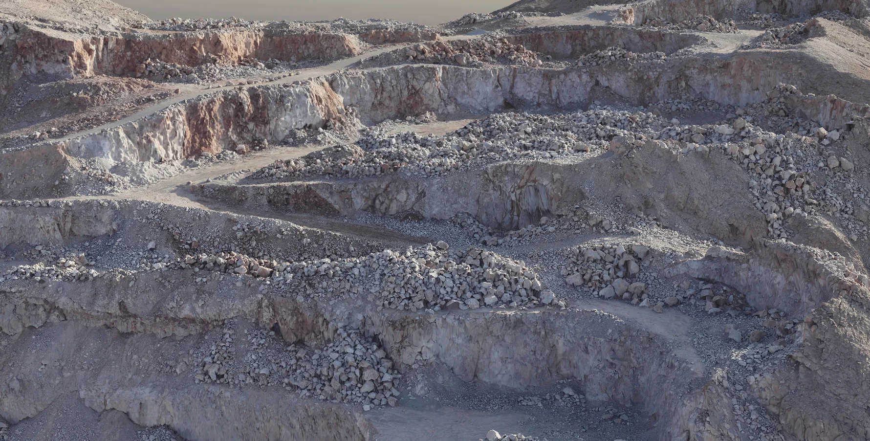
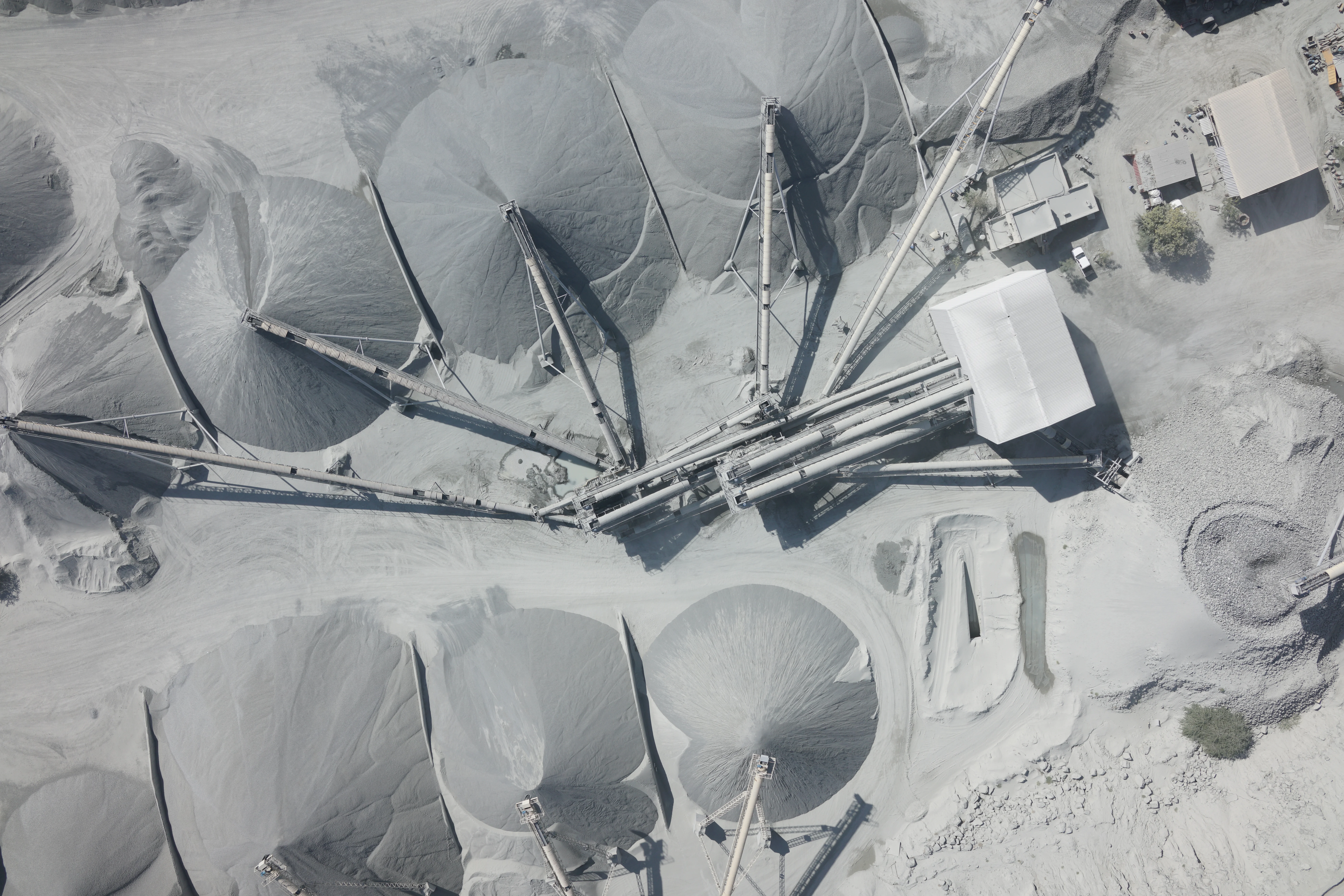
Earthworks & Volume Calculations
Supports stockpile measurement and cut/fill analysis
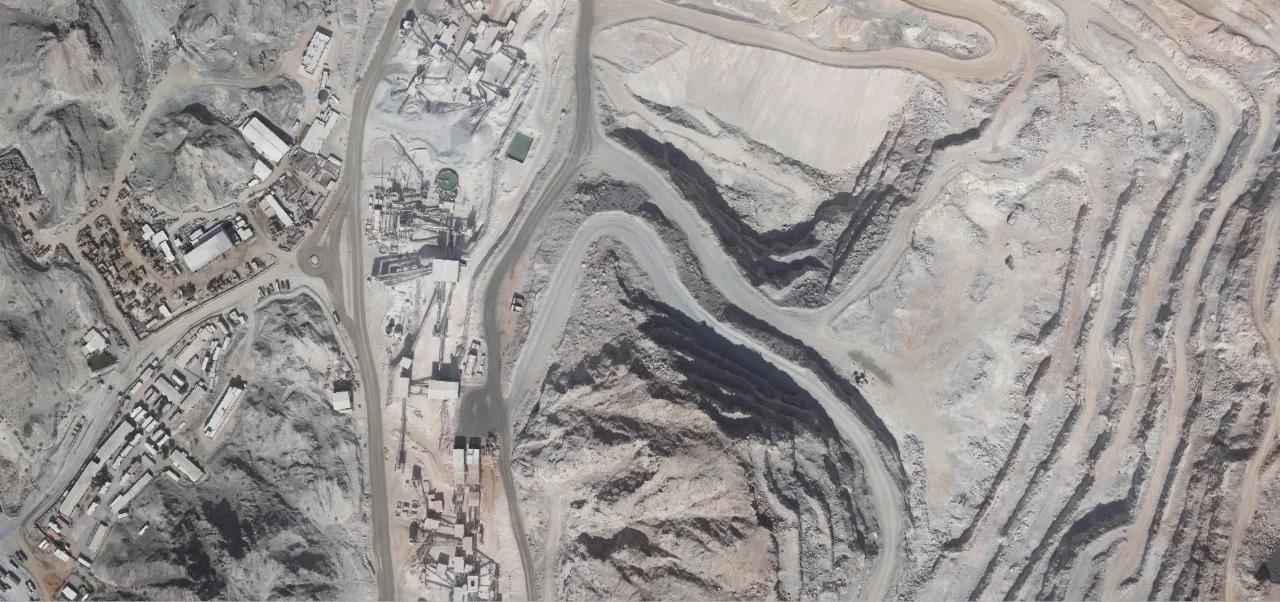
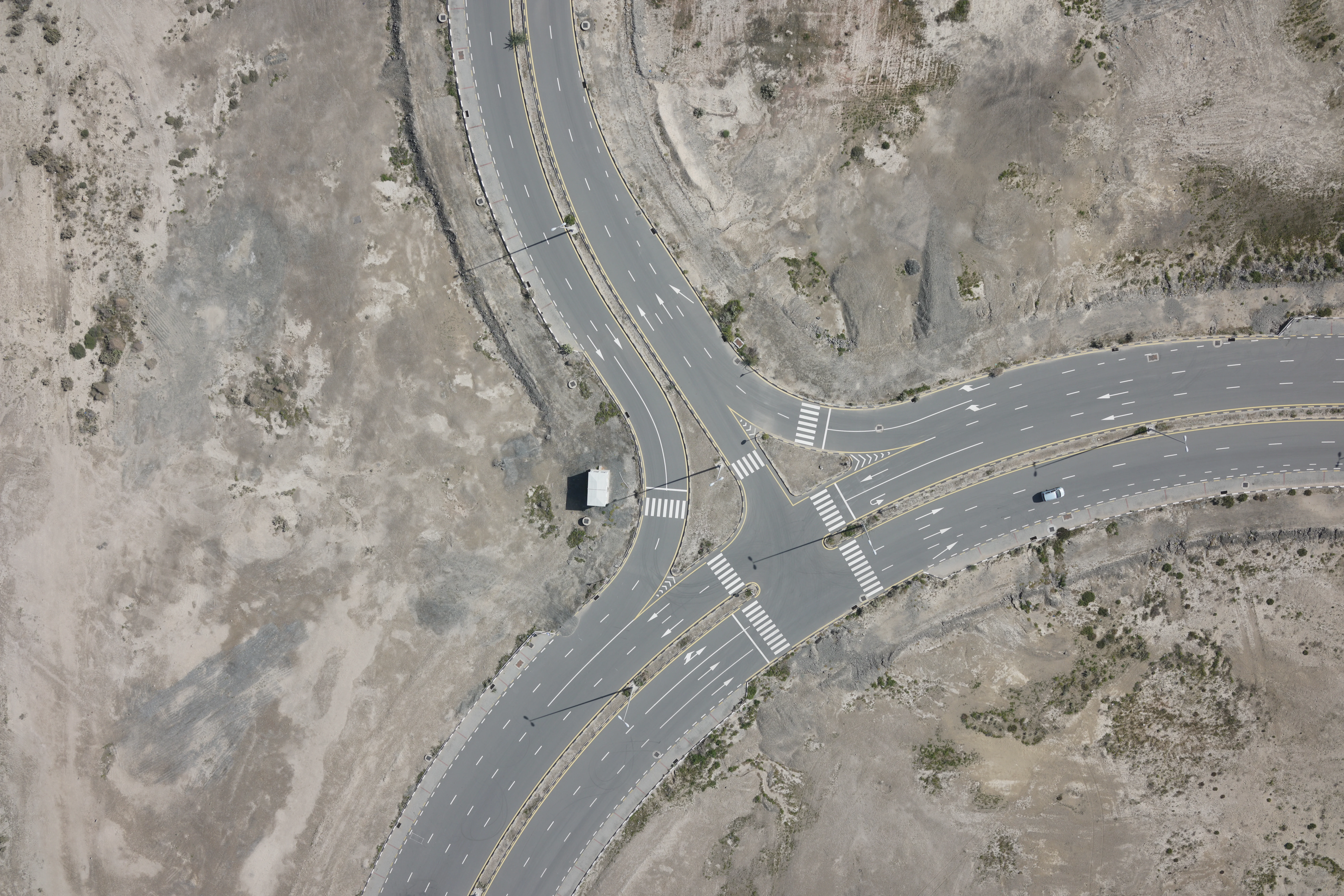
Large Site Mapping
Efficiently captures high-resolution mapping over expansive areas
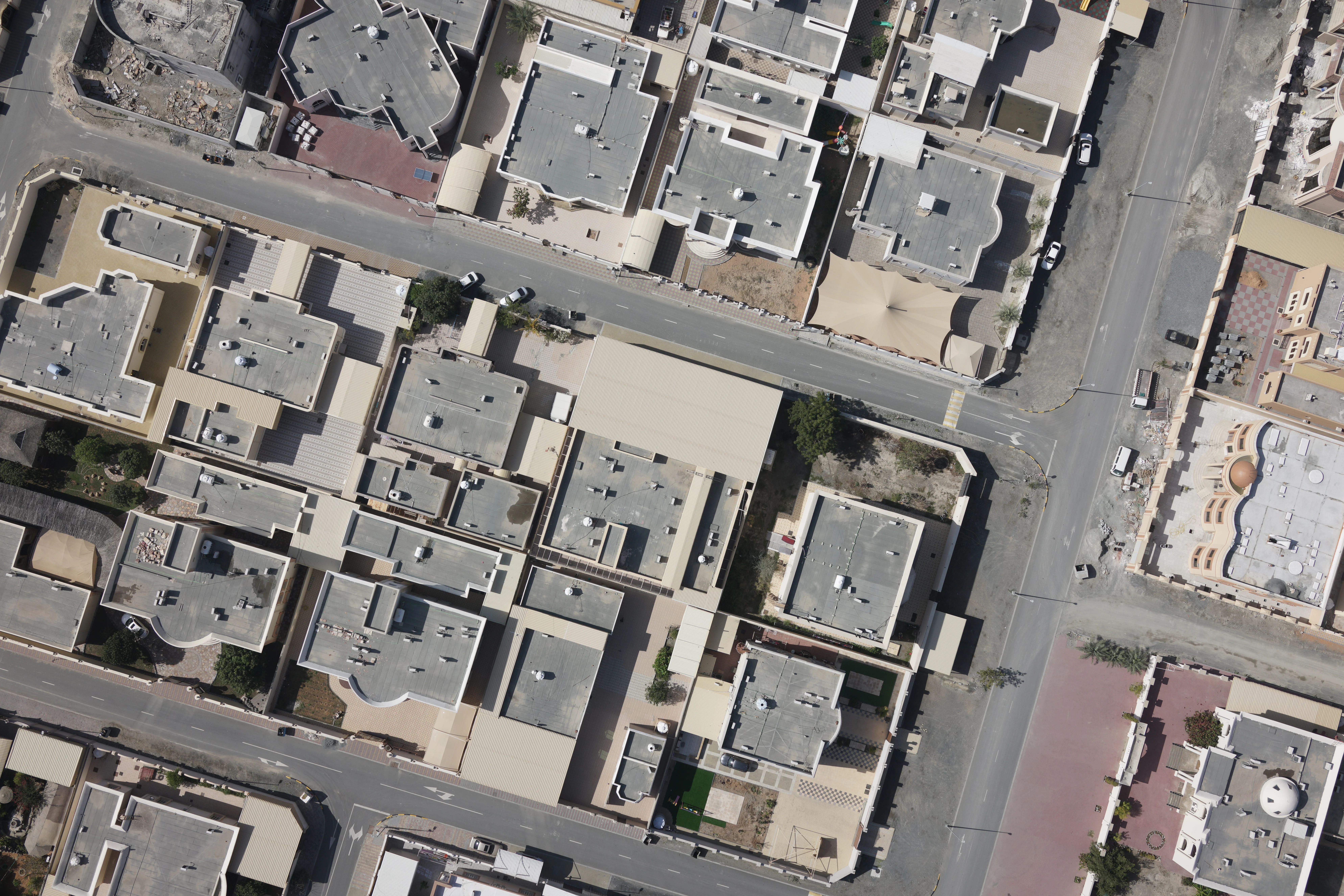
Master Planning & Development
Delivers base mapping for planning and design integration
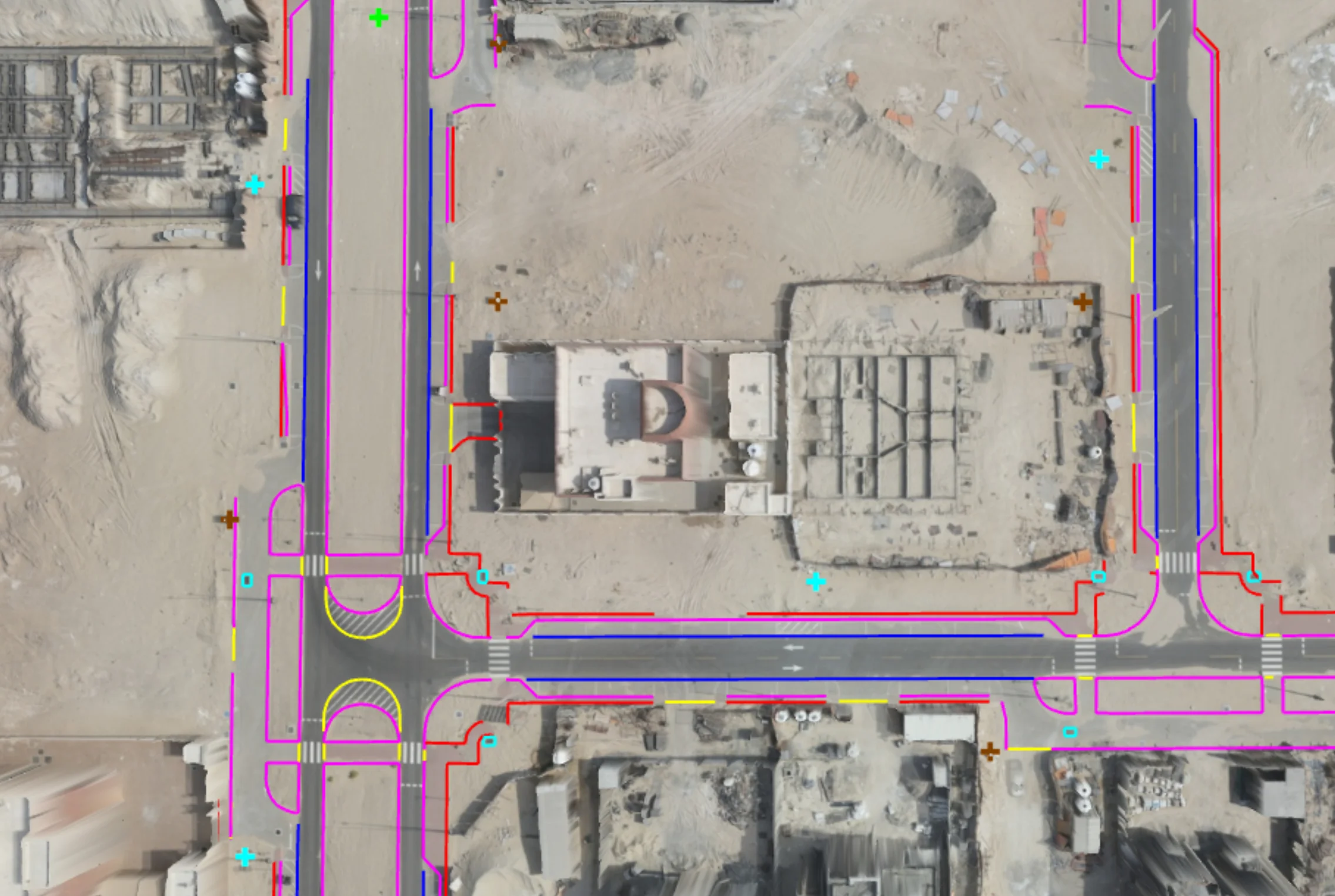
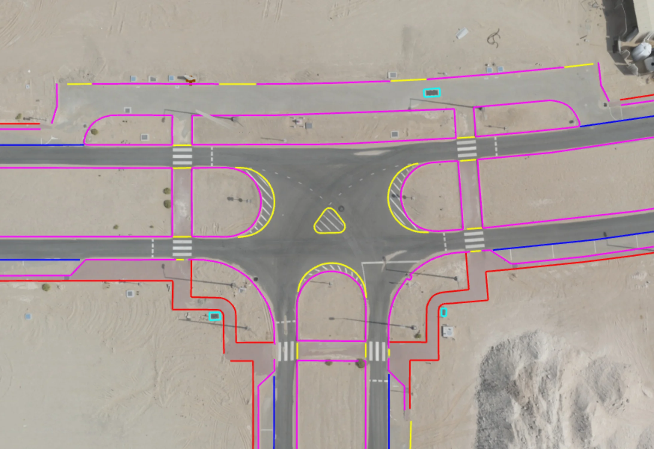
Deliverables
What you receive at the end of every project
- Geo-referenced orthomosaic imageryGeoTIFF
- Dense point cloud datasetsLAS / LAZ
- Digital Terrain Model (DTM)
- Digital Surface Model (DSM)
- Triangulated Surface Model (TIN)
- Contour maps
- Volume calculation reports
- 3D textured mesh models
- CAD drawingsDWG / DXF
- GIS layersSHP / Geodatabase
- Survey report with accuracy statement
Technology Stack
Industry-leading equipment and software
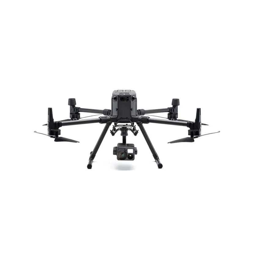
DJI Matrice 300 RTK
Advanced surveying technology for precision data capture and analysis.
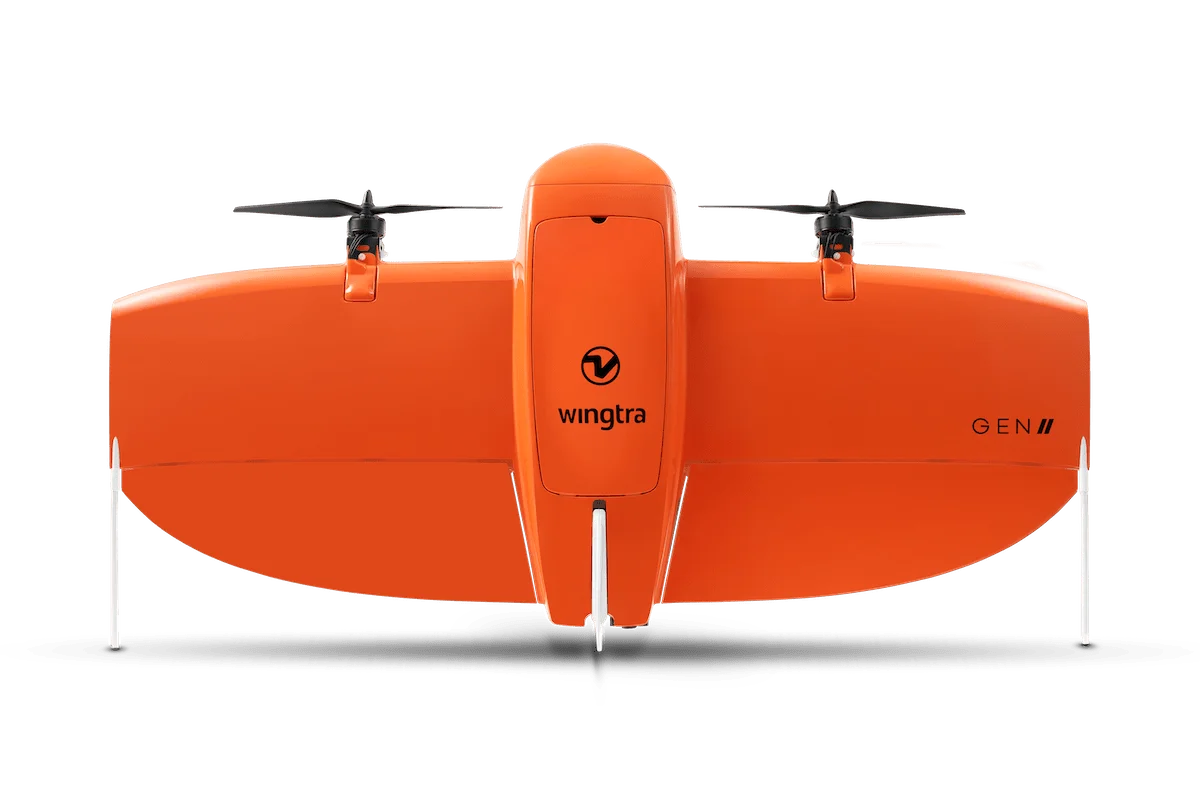
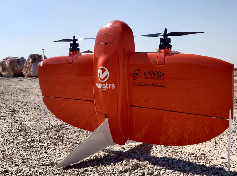
WingtraOne Drone
Advanced surveying technology for precision data capture and analysis.
Pix4Dmapper
Advanced surveying technology for precision data capture and analysis.
Agisoft Metashape
Advanced surveying technology for precision data capture and analysis.

Global Mapper
Advanced surveying technology for precision data capture and analysis.
Frequently Asked Questions
With RTK and ground control points, we achieve 2-3cm horizontal and 3-5cm vertical accuracy, suitable for most engineering applications.
Yes, we hold valid DCAA permits and follow all UAE drone regulations. We handle airspace clearances for each project.
Our drones can efficiently survey 50-200 hectares per day depending on required resolution and site accessibility.
We require clear weather with winds below 10m/s for optimal data quality. We reschedule if conditions are unsuitable.
Have more questions?
Our team of experts is ready to assist you with your specific project requirements across the GCC.
Related Services
Explore our other professional surveying solutions
Contact us directly
Reach our team instantly via WhatsApp, phone, or email.
Also available in Riyadh