Land, Engineering & Cadastral Surveying
Precision boundary, control, and engineering surveys supporting development, construction, and regulatory approvals.
Boundary, Control, and Engineering Survey Services
Land and engineering surveys establish legally defensible property boundaries and accurate control networks for construction and development projects. These services ensure proper demarcation, alignment control, and compliance with planning and authority requirements.
Cadastral surveys define land ownership limits, while engineering surveys provide the positional framework required for construction layout and structural set-out.
Our Methodology
Delivering excellence through a proven three-stage workflow
Boundary Research & Control Establishment
Review of title documents and survey records followed by establishment of horizontal and vertical control points.
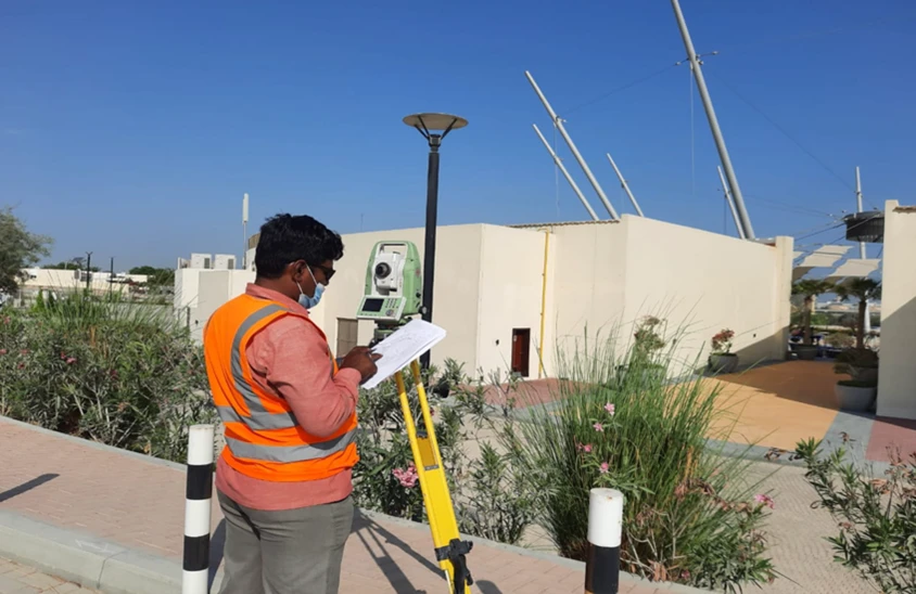
High-Precision Field Measurement
GNSS and total station observations for boundary demarcation, control verification, and engineering set-out.
Documentation & Certification
Preparation of boundary plans, subdivision layouts, control reports, and authority-compliant drawings.
Applications
Industry sectors and use cases we serve
Property Boundary Verification
Confirms legal limits before development or transfer
Subdivision & Plot Demarcation
Defines land parcels for regulatory approval and sale
Engineering Set-Out
Transfers approved design coordinates to site for construction execution
Authority & Planning Submissions
Provides certified documentation required for municipal approvals
Deliverables
What you receive at the end of every project
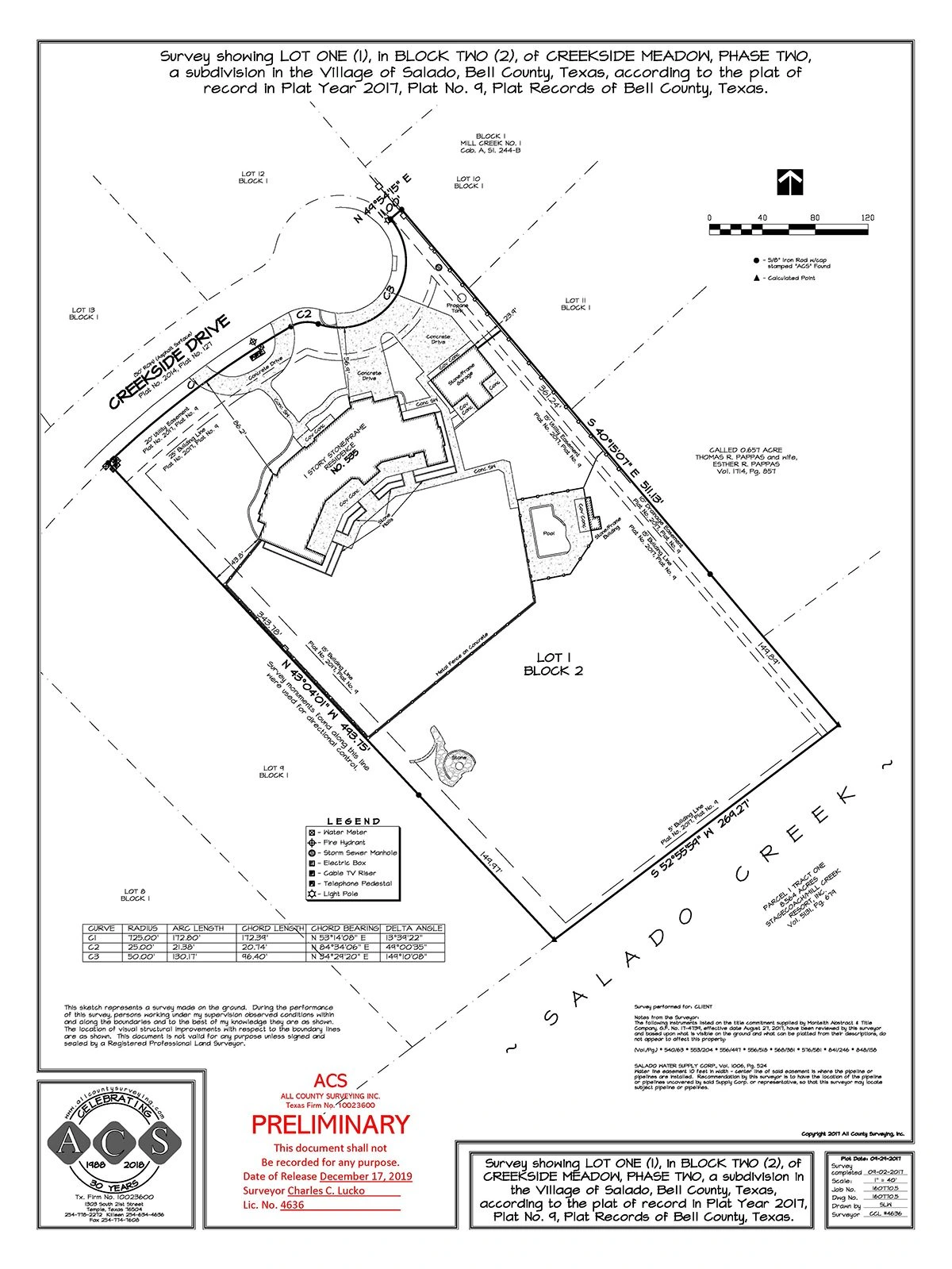
- Boundary and cadastral plans
- Subdivision and plot layout drawings
- Control network coordinate reports
- Set-out reference drawings
- Area calculation reports
- Authority-compliant documentation
- Survey report with accuracy statement
Technology Stack
Industry-leading equipment and software
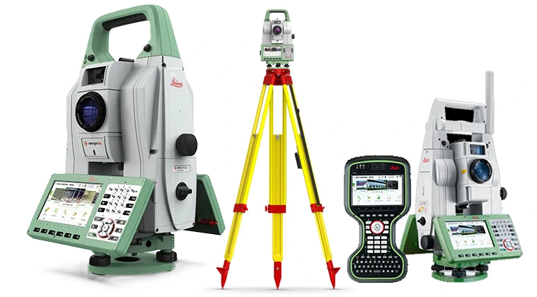
GNSS & Total Stations
Advanced surveying technology for precision data capture and analysis.
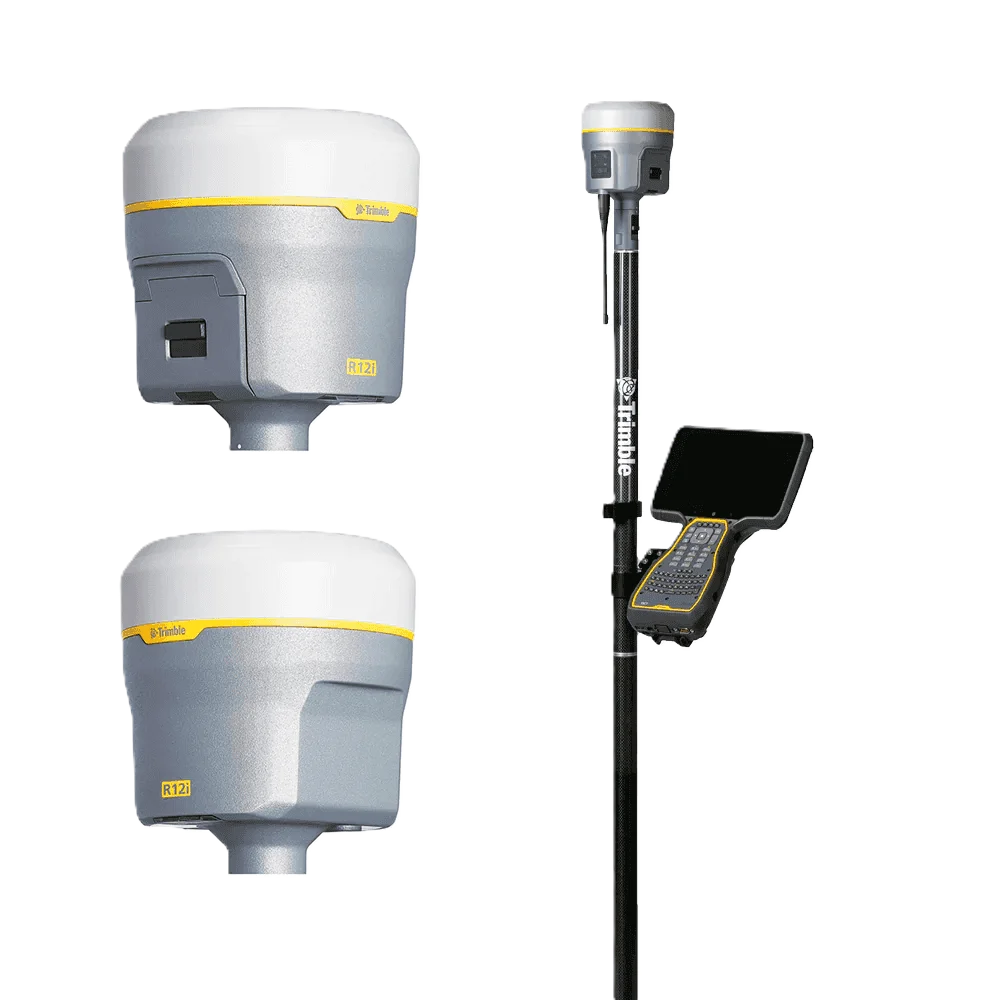
Trimble R12 GNSS
Advanced surveying technology for precision data capture and analysis.
AutoCAD
Advanced surveying technology for precision data capture and analysis.

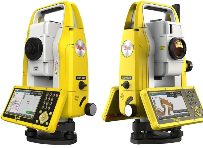
Leica Captivate
Advanced surveying technology for precision data capture and analysis.
LSS (Land Survey Software)
Advanced surveying technology for precision data capture and analysis.
Frequently Asked Questions
A cadastral survey defines property boundaries according to legal descriptions and title deeds, often required for property transactions and subdivisions.
Yes, we prepare survey plans that comply with Dubai Municipality standards and can coordinate submissions on your behalf.
Construction layout typically requires ±5mm accuracy. We use robotic total stations with prism-less EDM for precise stakeout.
Typical residential property boundary surveys take 1-2 days for fieldwork and 2-3 days for plan preparation and authority coordination.
Have more questions?
Our team of experts is ready to assist you with your specific project requirements across the GCC.
Related Services
Explore our other professional surveying solutions

Topographic & Terrain Mapping
High-accuracy terrain and elevation mapping for infrastructure, development, and engineering projects.

As-Built Surveys (3D Laser Scanning-Based)
High-accuracy 3D laser scanning for documentation and verification of existing building structures, including slab levels, core walls, and structural geometry.

GIS & Geospatial Solutions
Structured geospatial data management, mapping, and spatial analysis services for infrastructure and asset systems.
Contact us directly
Reach our team instantly via WhatsApp, phone, or email.
Also available in Riyadh