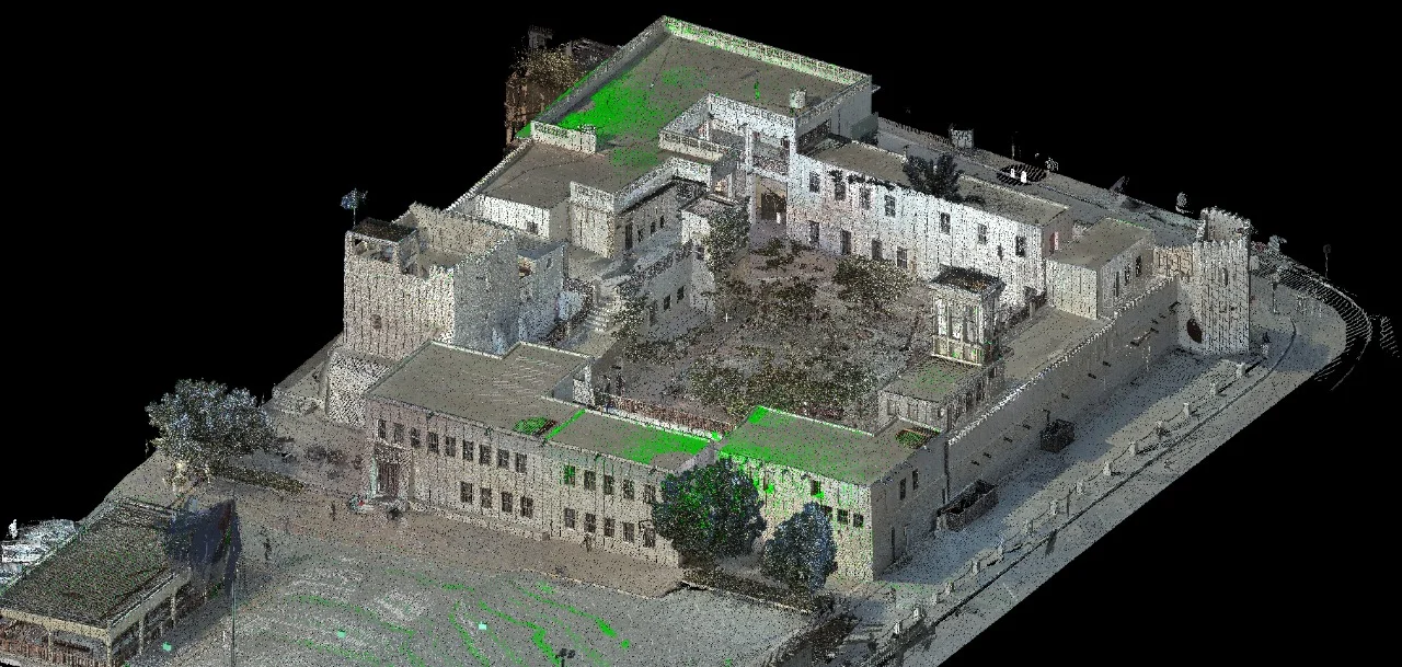
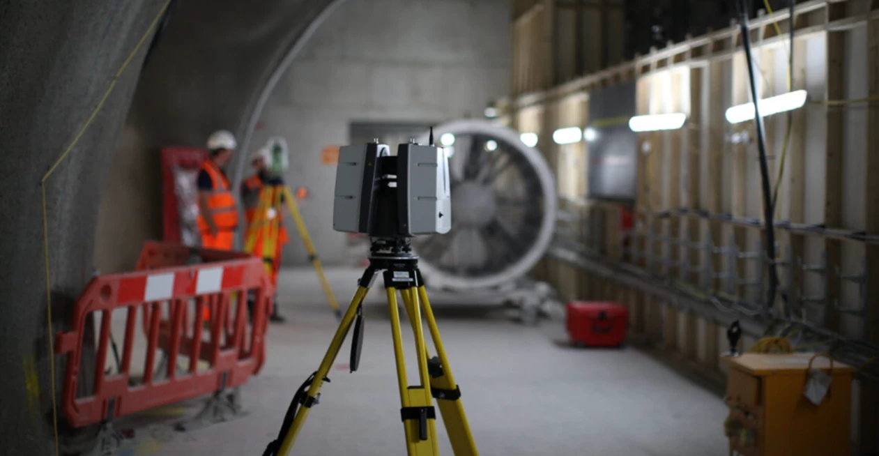
As-Built Surveys (3D Laser Scanning-Based)
High-accuracy 3D laser scanning for documentation and verification of existing building structures, including slab levels, core walls, and structural geometry.
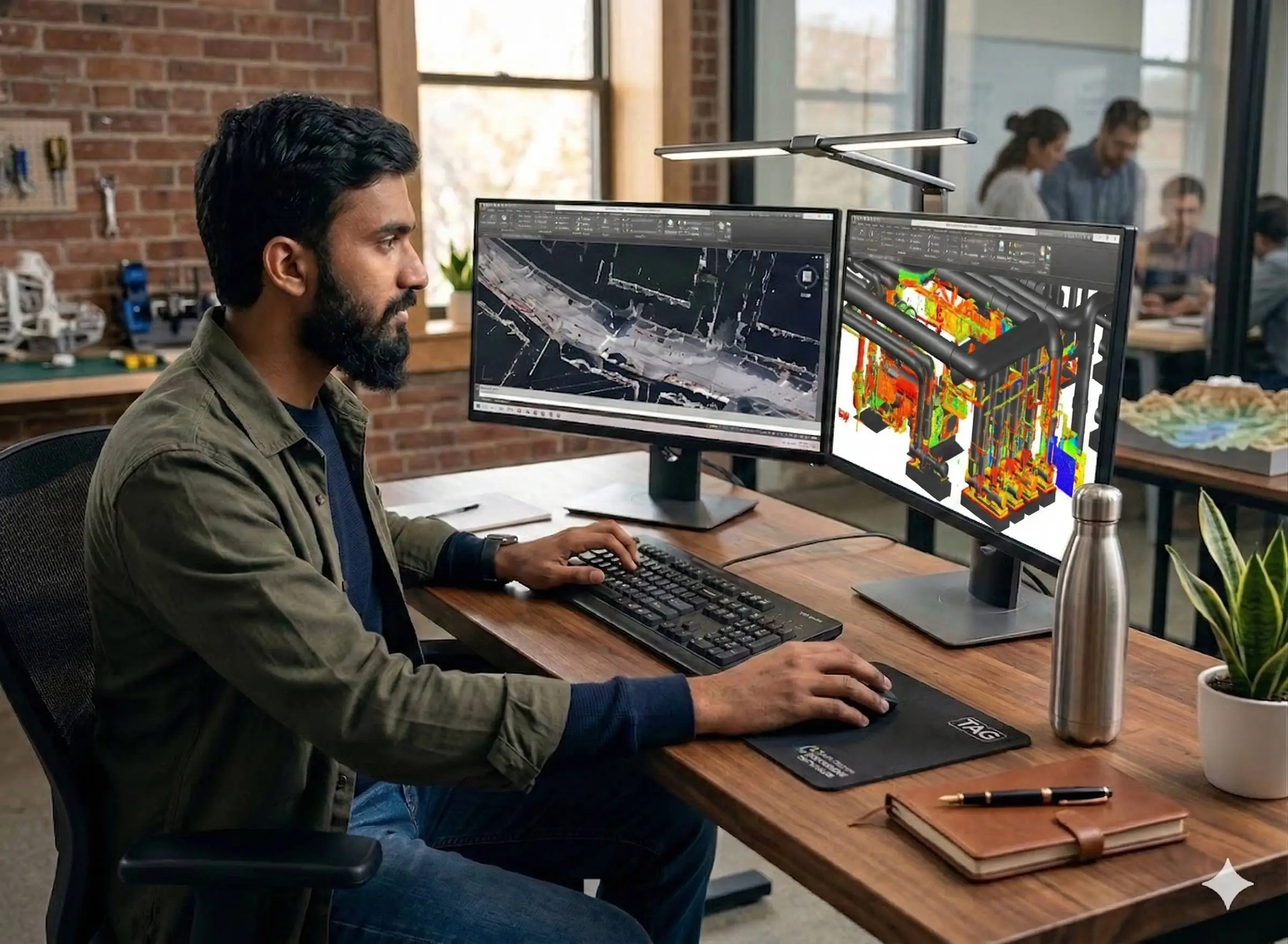
Verified Structural Documentation Through 3D Scanning
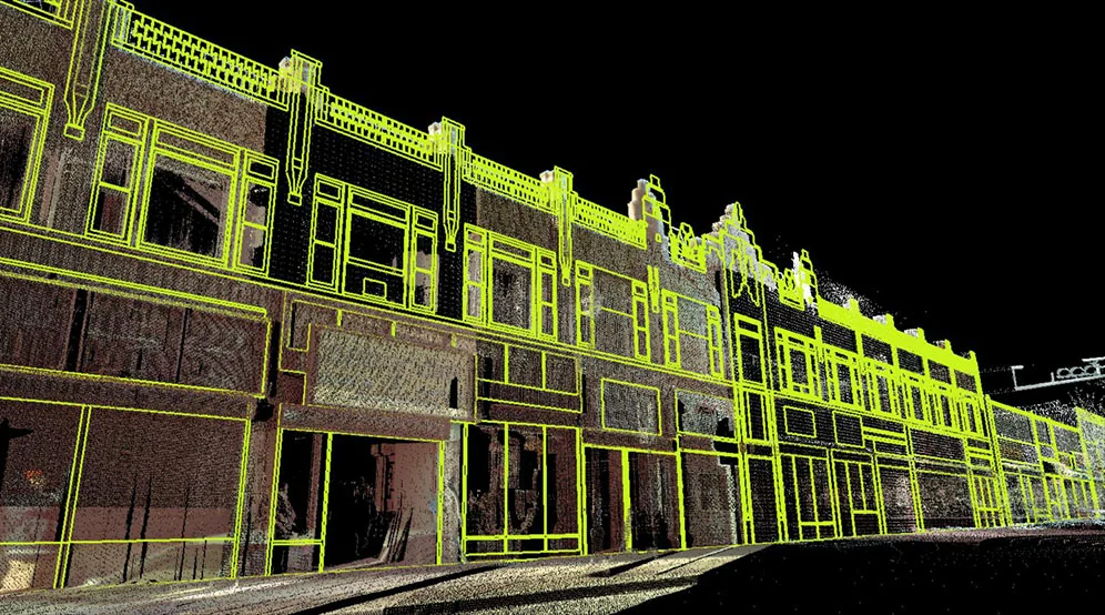
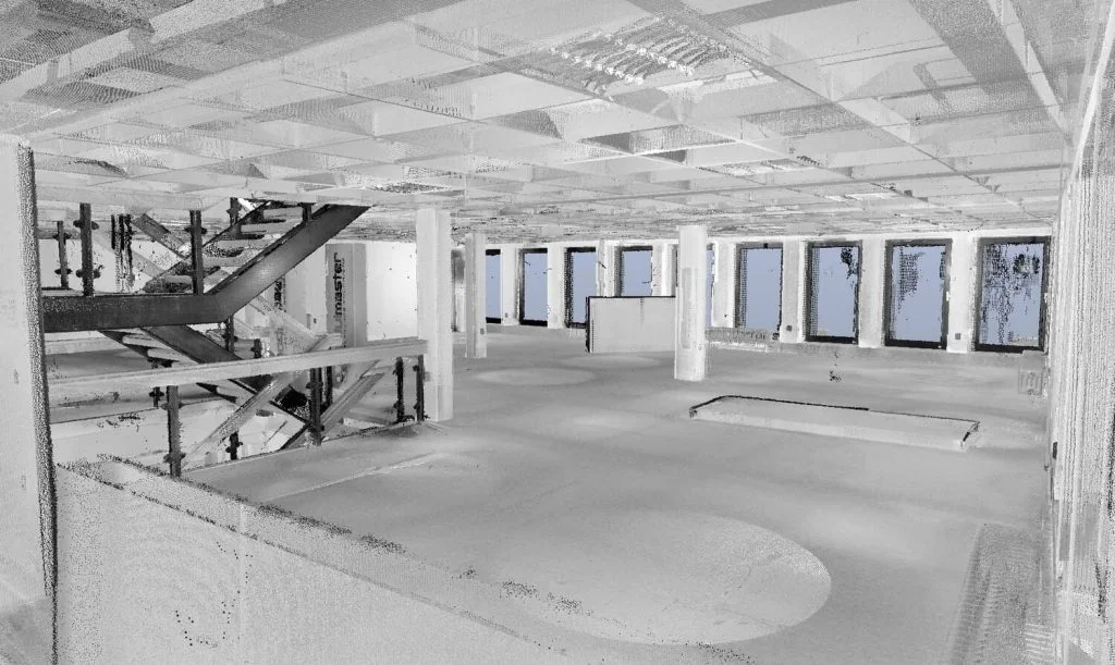
As-built surveys use terrestrial 3D laser scanning to capture the exact geometry and structural layout of existing buildings. These surveys are commonly required for redevelopment, renovation, and structural modification projects where original drawings are missing, outdated, or require verification.
The output provides a verified digital representation of slabs, core walls, columns, beams, and floor levels to support engineering review and redesign.
Our Methodology
Delivering excellence through a proven three-stage workflow
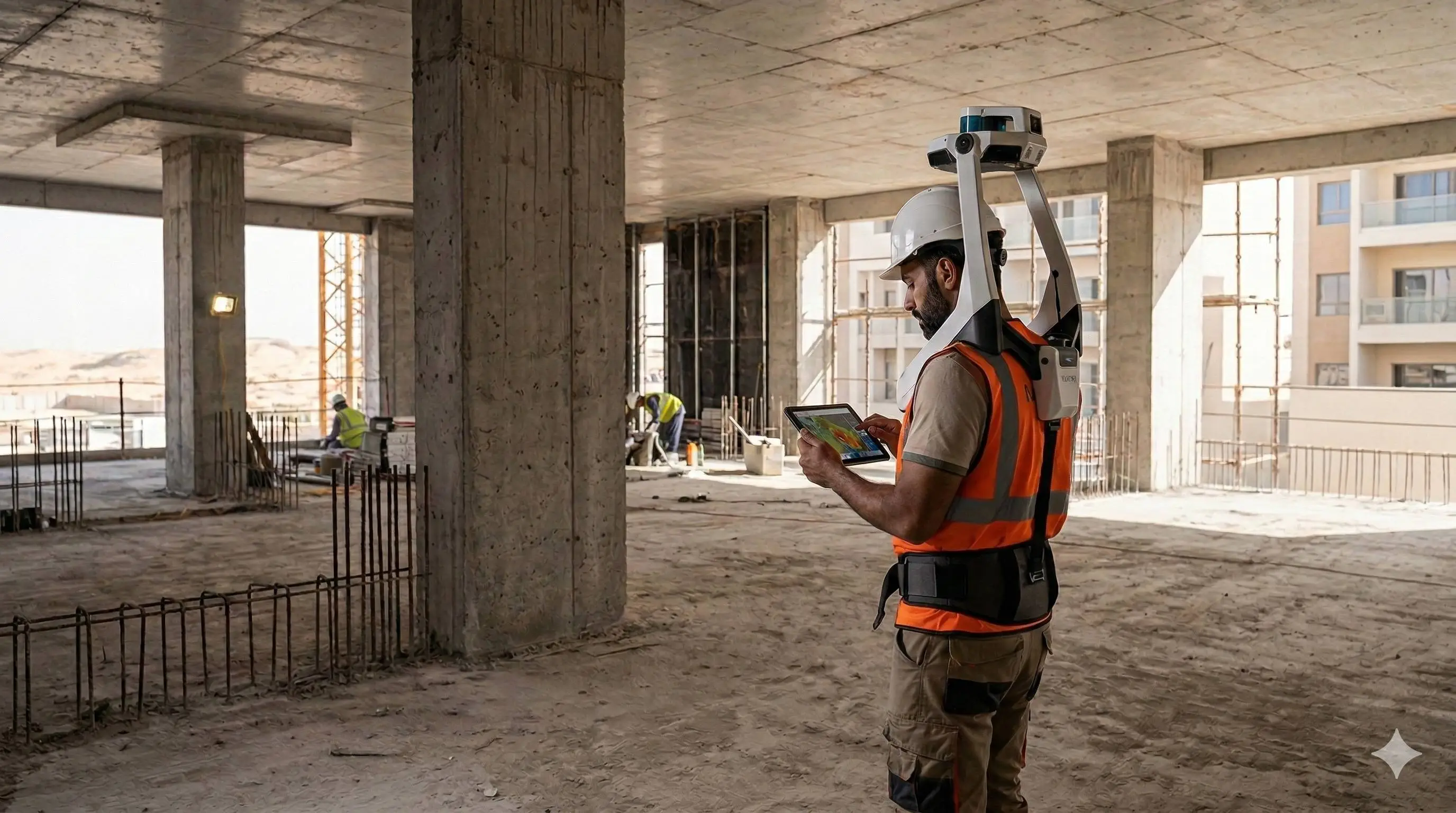
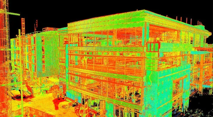
3D Laser Scanning Capture
High-density scanning of interiors, structural frames, slabs, and core walls with established control points.
Registration & Structural Verification
Point cloud registration, dimensional validation, and verification of slab levels, wall alignment, and core positioning.
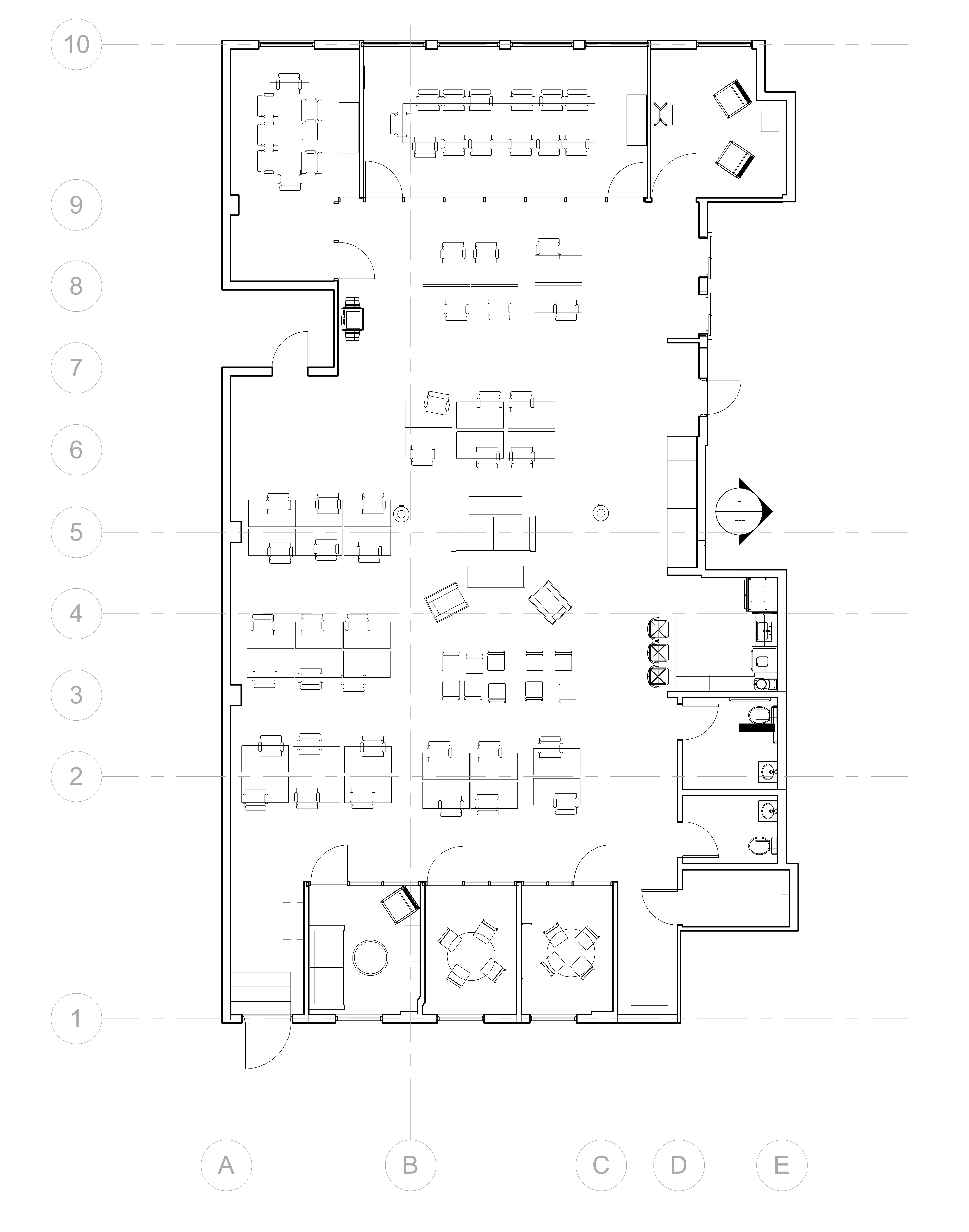
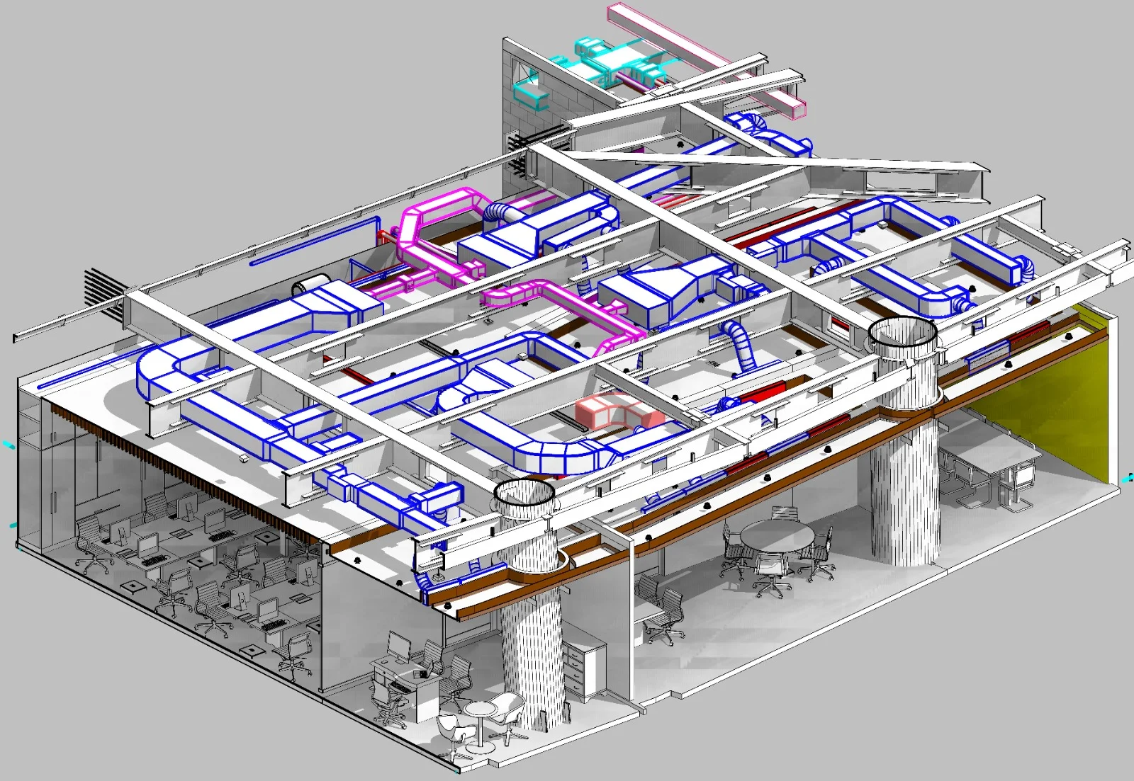
Drawing & Model Extraction
Extraction of verified floor plans, elevations, sections, structural layouts, and optional BIM models.
Applications
Industry sectors and use cases we serve
Redevelopment Projects
Provides accurate structural data before redesign or structural alteration
Slab Level & Thickness Verification
Confirms floor elevations and slab depth prior to load assessment
Core Wall & Column Verification
Validates structural grid alignment and vertical elements
Change-of-Use Projects
Supports authority submissions requiring verified structural documentation
Deliverables
What you receive at the end of every project
- Registered point cloud dataset
- Verified floor plans and structural layouts
- Slab level drawings
- Core wall and column grid verification
- Sectional drawings showing slab thickness
- Deviation comparison report (if drawings exist)
- 3D model / BIM model (if required)
- Survey report with accuracy statement
Technology Stack
Industry-leading equipment and software
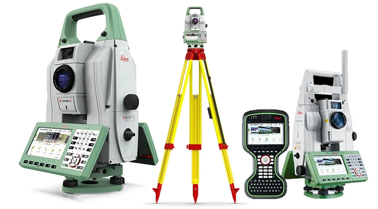
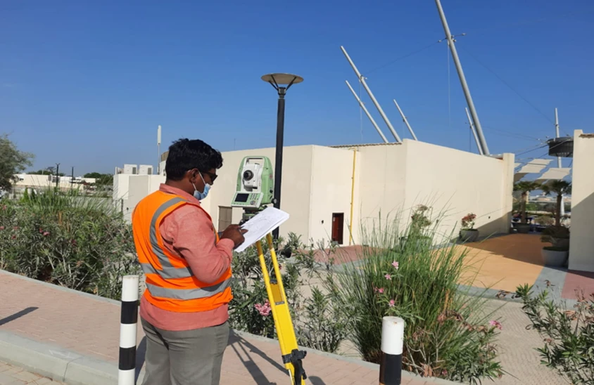
GNSS & Total Stations
Advanced surveying technology for precision data capture and analysis.
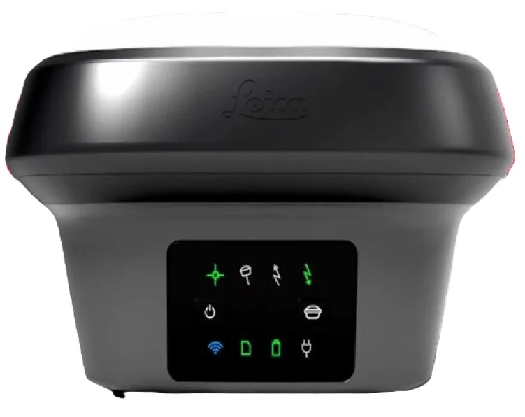
Leica GS18 RTK Rover
Advanced surveying technology for precision data capture and analysis.
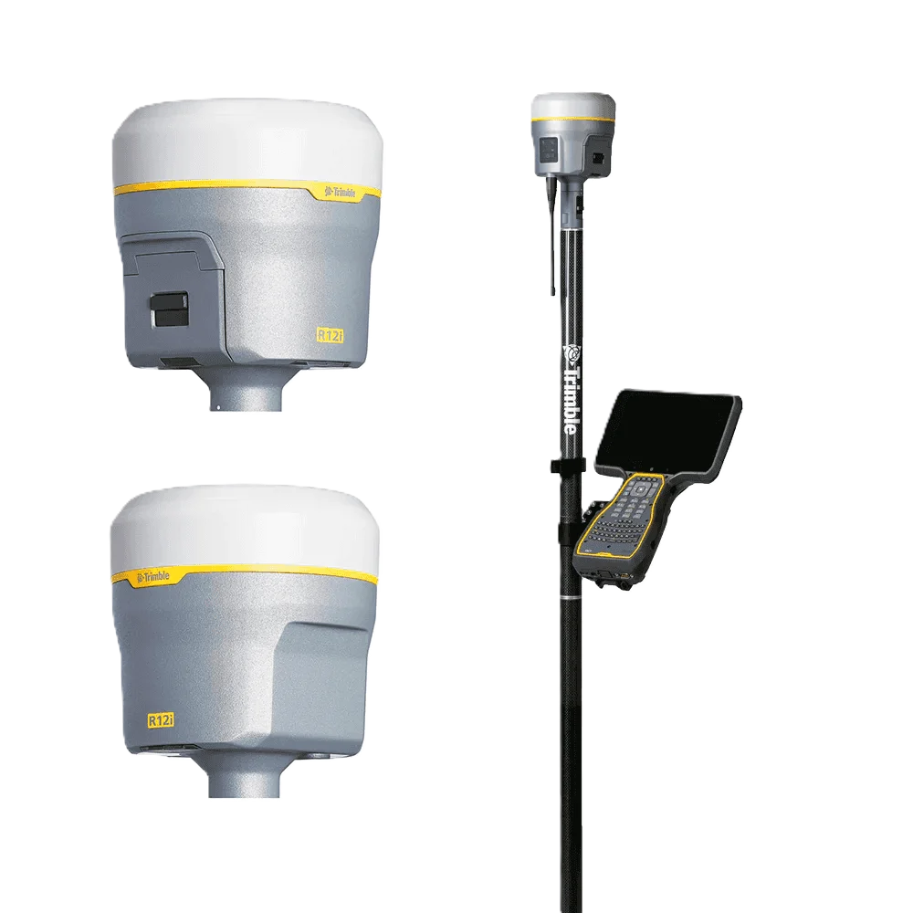
Trimble R12 GNSS
Advanced surveying technology for precision data capture and analysis.

AutoCAD & Revit
Advanced surveying technology for precision data capture and analysis.

Trimble Business Center
Advanced surveying technology for precision data capture and analysis.
Frequently Asked Questions
As-built surveys document completed construction. GPS surveys establish precise coordinate control. We often combine both services for comprehensive project documentation.
Yes, we survey mechanical, electrical, and plumbing systems including ducts, pipes, cable trays, and equipment for as-built documentation.
Typical turnaround is 5-7 business days after field survey completion, depending on project complexity and size.
Yes, we can update Revit and other BIM models with as-built data to create accurate facility management models.
Have more questions?
Our team of experts is ready to assist you with your specific project requirements across the GCC.
Related Services
Explore our other professional surveying solutions
Land, Engineering & Cadastral Surveying
Precision boundary, control, and engineering surveys supporting development, construction, and regulatory approvals.
3D Laser Scanning
High-precision terrestrial laser scanning for detailed 3D capture of buildings, structures, and industrial environments.
BIM Modeling
Creation of structured Building Information Models from survey, LiDAR, and 3D scan data.
Contact us directly
Reach our team instantly via WhatsApp, phone, or email.
Also available in Riyadh