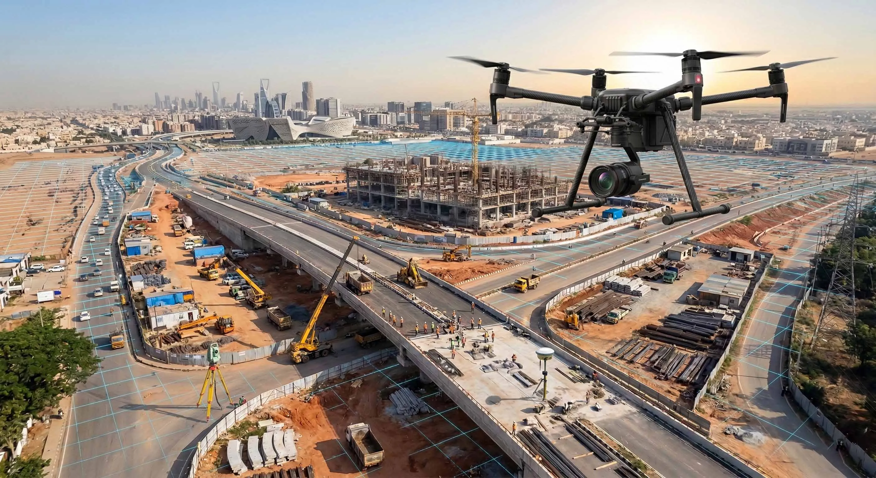
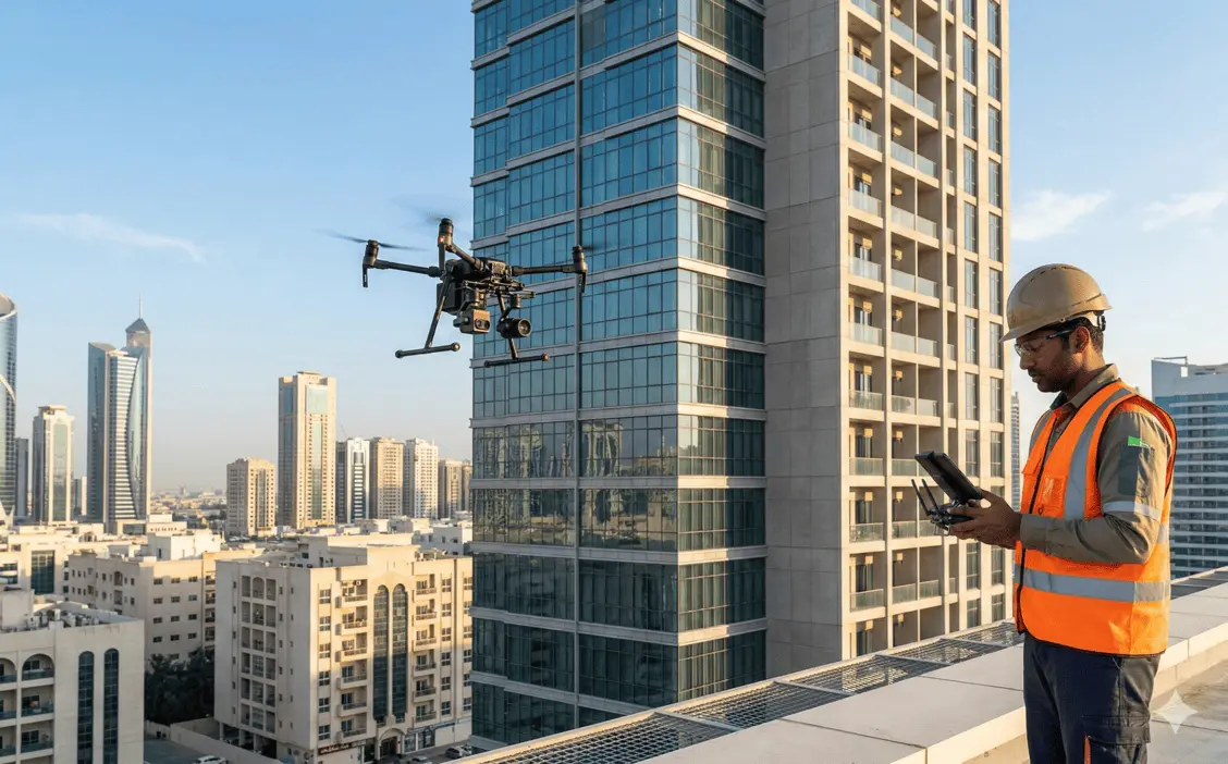
Drone Video & Photography
Aerial video and photographic documentation for construction, infrastructure, and site monitoring.
Structured Aerial Documentation for Project Sites
Drone video and photography services provide structured aerial documentation of projects at various stages of development. High-resolution imagery and stabilized video capture support construction progress tracking, stakeholder reporting, and site condition recording.
The service enables repeatable, time-based documentation across large or complex project sites.
Our Methodology
Delivering excellence through a proven three-stage workflow
Flight Planning & Site Coordination
Mission planning based on project scope, airspace permissions, and reporting requirements.
Aerial Capture Execution
High-resolution still imagery and stabilized video capture using calibrated UAV platforms.
Processing & Structured Output Delivery
Editing, sequencing, and organization of outputs aligned with reporting or monitoring requirements.
Applications
Industry sectors and use cases we serve
Construction Progress Monitoring
Provides periodic visual updates of site development
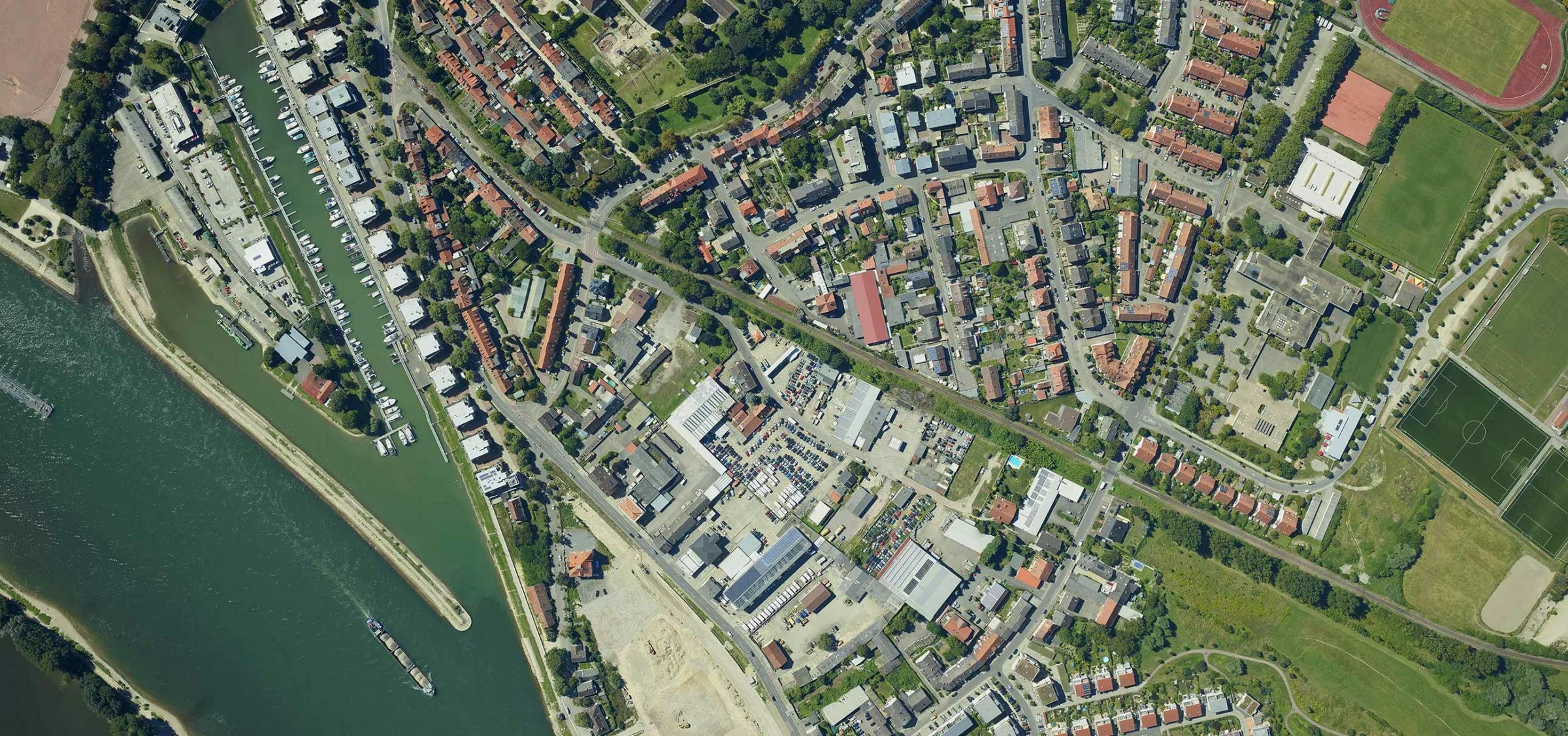
Infrastructure Documentation
Records baseline and milestone project stages
Stakeholder & Consultant Reporting
Supports visual communication during coordination meetings
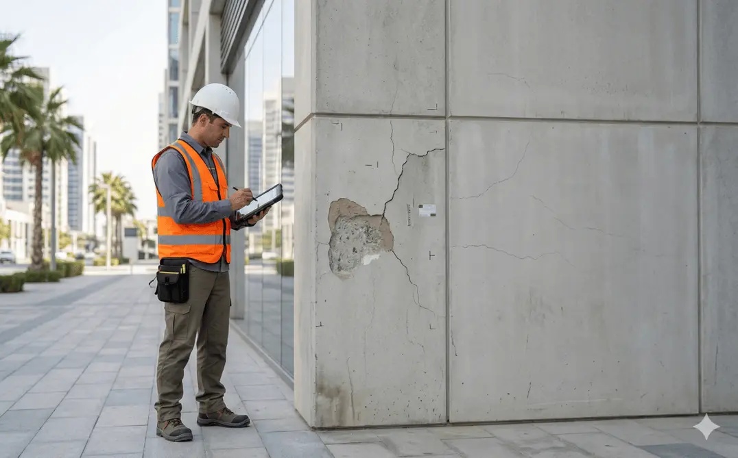
Pre- and Post-Construction Records
Documents site condition before and after major works
Deliverables
What you receive at the end of every project
- High-resolution aerial photographs
- Edited project progress videos
- Time-lapse or periodic comparison outputs
- Geo-referenced imagery (if required)
- Structured media archive for reporting
Technology Stack
Industry-leading equipment and software
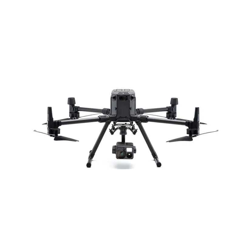
DJI Inspire 3
Advanced surveying technology for precision data capture and analysis.
DJI Mavic 3 Pro
Advanced surveying technology for precision data capture and analysis.
DaVinci Resolve
Advanced surveying technology for precision data capture and analysis.
Adobe Premiere Pro
Advanced surveying technology for precision data capture and analysis.

Lightroom
Advanced surveying technology for precision data capture and analysis.
Frequently Asked Questions
Yes, we hold valid DCAA operating permits and handle all airspace clearances for each shoot location.
We shoot in 4K and 6K resolution depending on the platform, with options for slow-motion and HDR capture.
Standard turnaround is 3-5 business days. Rush delivery within 24-48 hours is available for an additional fee.
Yes, we have small indoor drones for confined spaces and coordinate access for restricted zones like construction sites and industrial facilities.
Have more questions?
Our team of experts is ready to assist you with your specific project requirements across the GCC.
Related Services
Explore our other professional surveying solutions
Aerial Drone Mapping
High-resolution aerial data acquisition for terrain modeling, volumetric analysis, and site documentation.
Drone Inspection Services
Aerial inspection and condition assessment of structures and infrastructure using high-resolution UAV systems.
Dilapidation Surveys
Pre-construction condition assessment and documentation of existing buildings and infrastructure.
Contact us directly
Reach our team instantly via WhatsApp, phone, or email.
Also available in Riyadh