Drone Inspection Services
Aerial inspection and condition assessment of structures and infrastructure using high-resolution UAV systems.
Safe Access to Elevated and Complex Structures
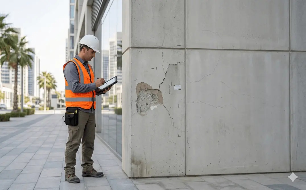
Drone inspections provide safe and efficient access to elevated, confined, or difficult-to-reach structures without scaffolding or manual access. Using stabilized high-resolution imaging systems, we capture detailed visual data to assess structural condition, defects, and maintenance requirements.
These inspections reduce operational risk while delivering measurable and documented assessment outputs.
Our Methodology
Delivering excellence through a proven three-stage workflow
Flight Planning & Risk Assessment
Site evaluation, regulatory coordination, and controlled flight planning around structures and infrastructure.
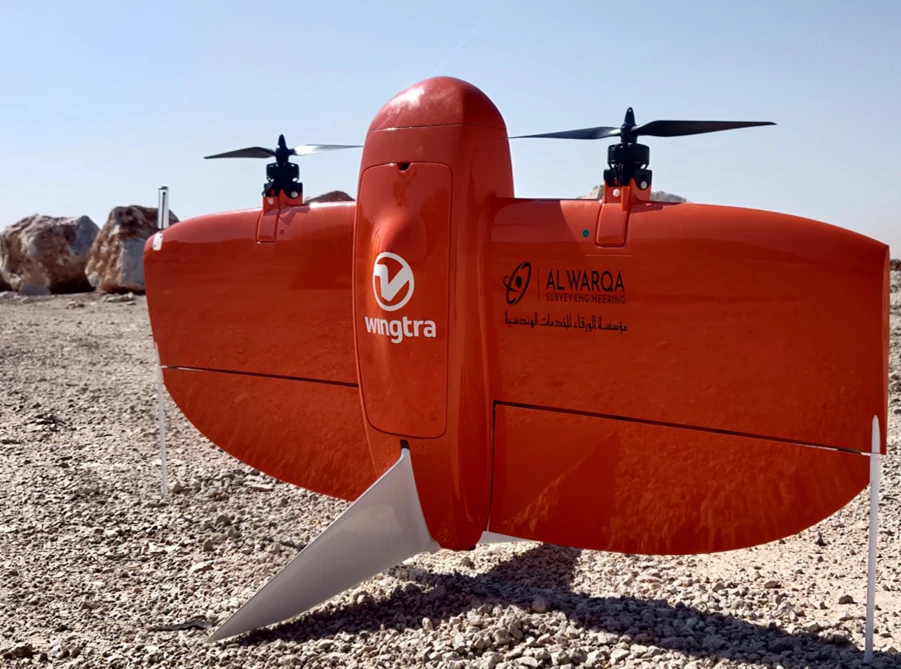
Aerial Data Capture
High-resolution image and video capture of facades, roofs, towers, bridges, and structural components.
Defect Identification & Reporting
Review and annotation of captured data with structured inspection reporting.
Applications
Industry sectors and use cases we serve
Facade & High-Rise Inspections
Identifies cracks, cladding issues, and external deterioration
Bridge & Infrastructure Assessment
Evaluates structural components without traffic disruption
Telecom & Utility Towers
Inspects vertical assets safely and efficiently
Roof & Industrial Facility Inspections
Assesses condition without manual access systems
Deliverables
What you receive at the end of every project
- Detailed inspection reports with ratings
- Photographic and video documentation
- Defect mapping and priority schedules
- Maintenance recommendations
- Drone inspection imagery and models
- Compliance assessment reports
Technology Stack
Industry-leading equipment and software
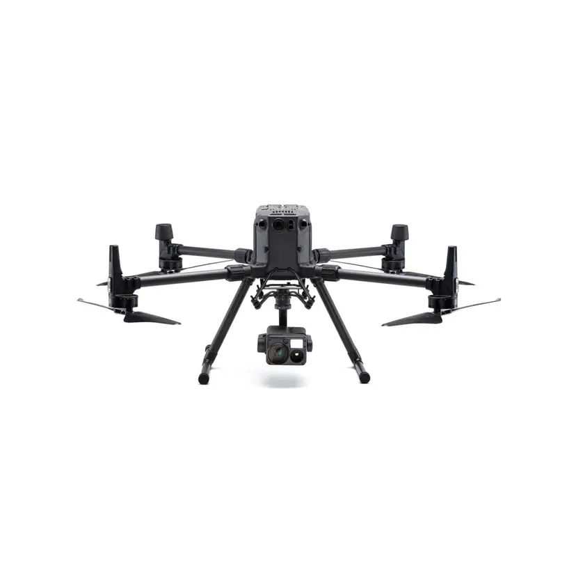
DJI Matrice 300 RTK
Advanced surveying technology for precision data capture and analysis.
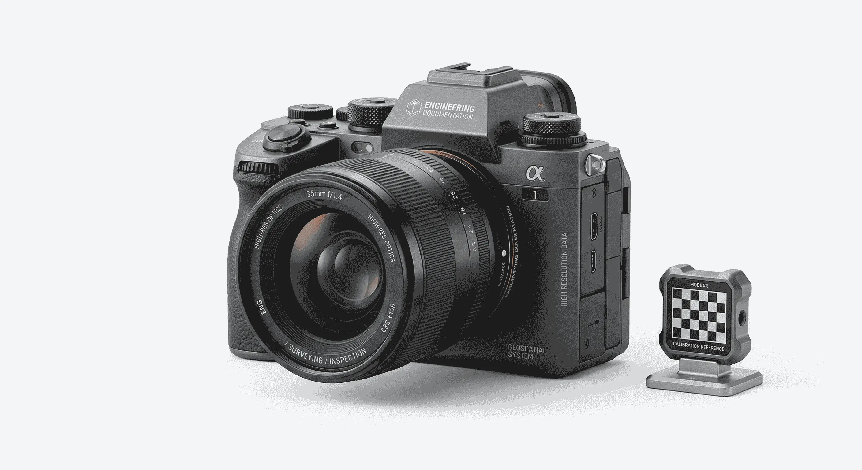
High-Resolution Cameras
Advanced surveying technology for precision data capture and analysis.
Thermal Imaging
Advanced surveying technology for precision data capture and analysis.
AutoCAD
Advanced surveying technology for precision data capture and analysis.
Pix4D Inspect
Advanced surveying technology for precision data capture and analysis.
Frequently Asked Questions
We inspect buildings, bridges, towers, industrial plants, tanks, facades, roofs, and other infrastructure assets.
Yes, drone inspection is ideal for tall structures, facades, and confined spaces. We hold DCAA drone operation permits.
We recommend annual inspections for critical structures and 3-5 year cycles for general building inspections, depending on asset type and conditions.
Yes, we use standardized rating systems to classify defect severity and prioritize maintenance actions.
Have more questions?
Our team of experts is ready to assist you with your specific project requirements across the GCC.
Related Services
Explore our other professional surveying solutions
Dilapidation Surveys
Pre-construction condition assessment and documentation of existing buildings and infrastructure.
Aerial Drone Mapping
High-resolution aerial data acquisition for terrain modeling, volumetric analysis, and site documentation.
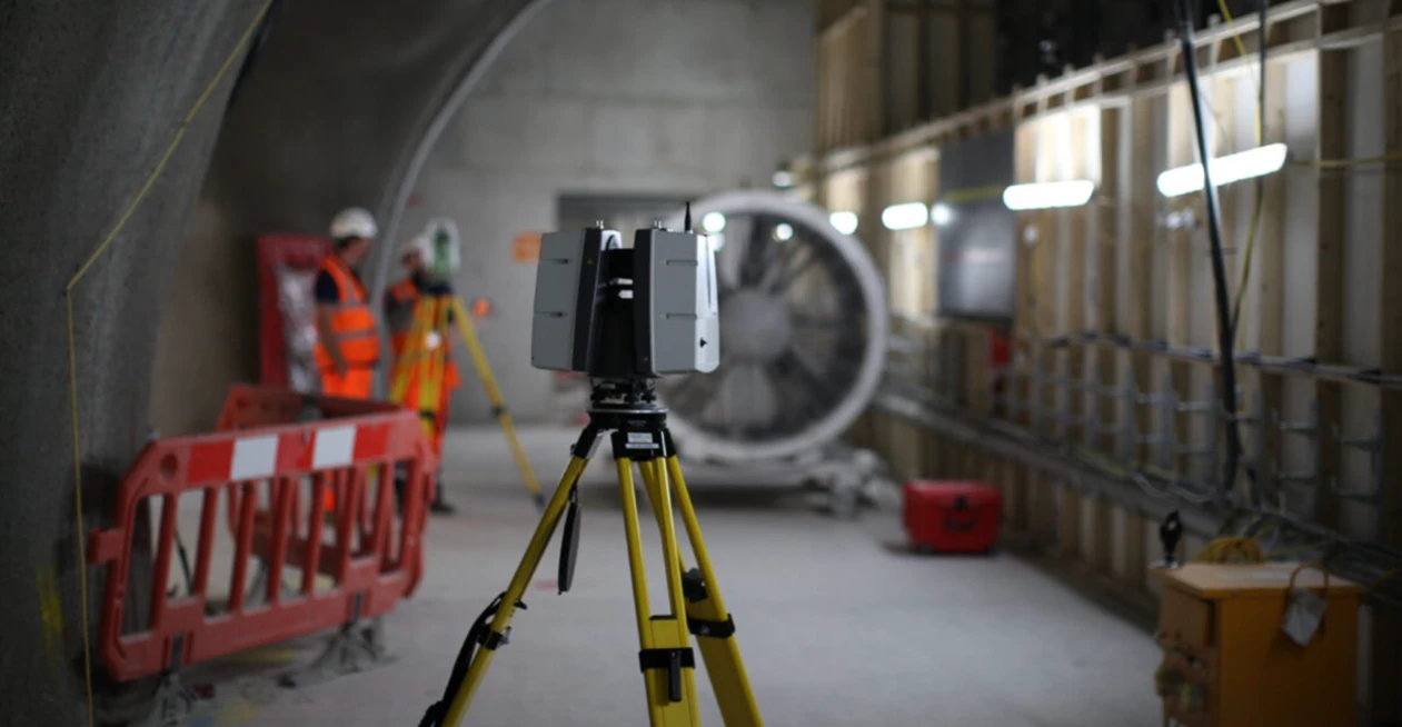
3D Laser Scanning
High-precision terrestrial laser scanning for detailed 3D capture of buildings, structures, and industrial environments.
Contact us directly
Reach our team instantly via WhatsApp, phone, or email.
Also available in Riyadh