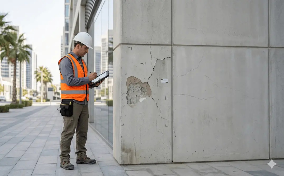
Dilapidation Surveys
Pre-construction condition assessment and documentation of existing buildings and infrastructure.
Baseline Condition Documentation for Construction Sites
Dilapidation surveys document the visible structural and surface condition of buildings, roads, and surrounding assets prior to nearby construction or excavation works. The survey establishes a clear baseline record of cracks, defects, settlement, and surface conditions to mitigate risk and prevent future disputes.
These surveys are typically conducted before piling, deep excavation, demolition, heavy construction, or infrastructure upgrades.
Our Methodology
Delivering excellence through a proven three-stage workflow
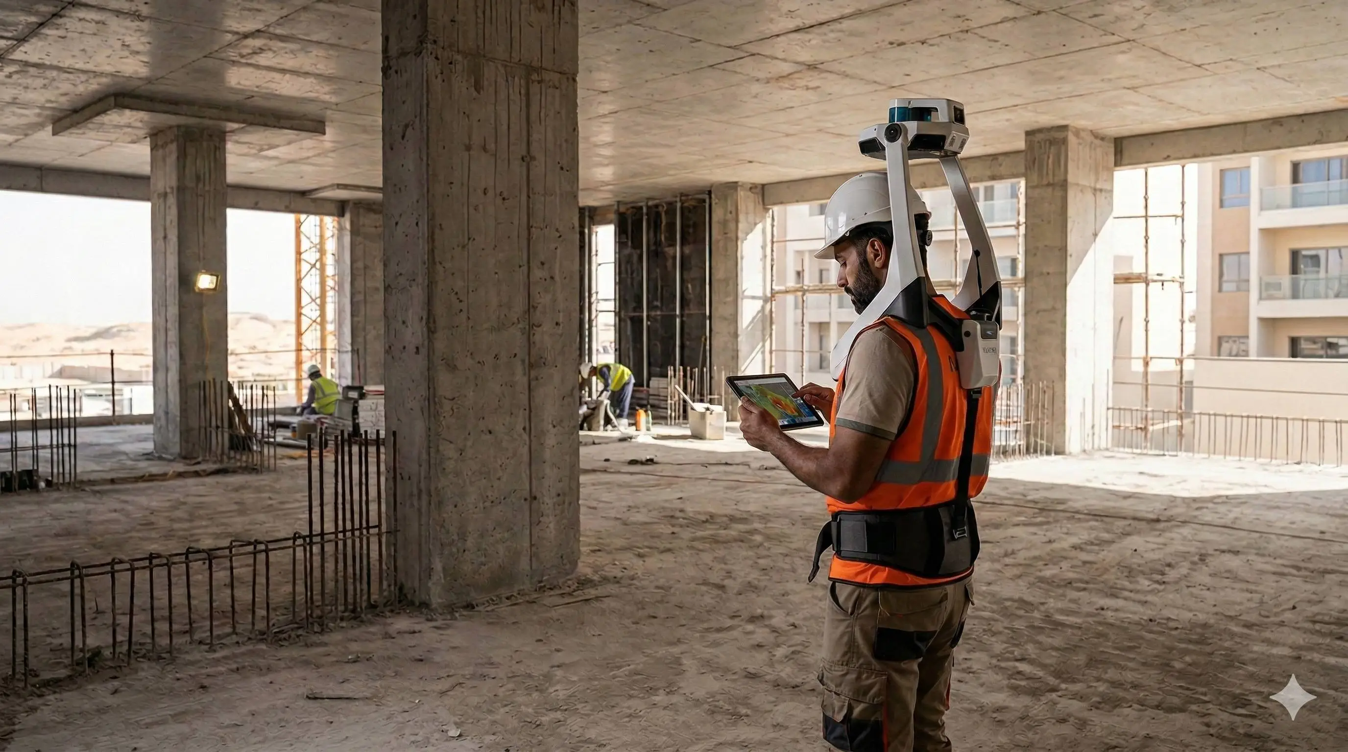
Site Inspection & Visual Assessment
Systematic inspection of internal and external structural elements, facades, slabs, pavements, and adjacent infrastructure.
Photographic & Video Documentation
High-resolution photo and video recording of existing defects and surface conditions.
Condition Mapping & Reporting
Preparation of marked drawings identifying cracks, settlement, spalling, and other visible defects with descriptive annotations.
Applications
Industry sectors and use cases we serve
Pre-Excavation & Piling Works
Establishes baseline condition before ground disturbance
Adjacent Property Protection
Documents neighboring buildings prior to construction
Infrastructure Upgrades
Records road and pavement condition before heavy works begin
Dispute Mitigation & Legal Documentation
Provides evidence in case of structural damage claims
Deliverables
What you receive at the end of every project
- Detailed dilapidation report
- Crack and defect mapping drawings
- Photographic documentation log
- Annotated site plans
- Video documentation (if required)
- Summary condition assessment report


Technology Stack
Industry-leading equipment and software
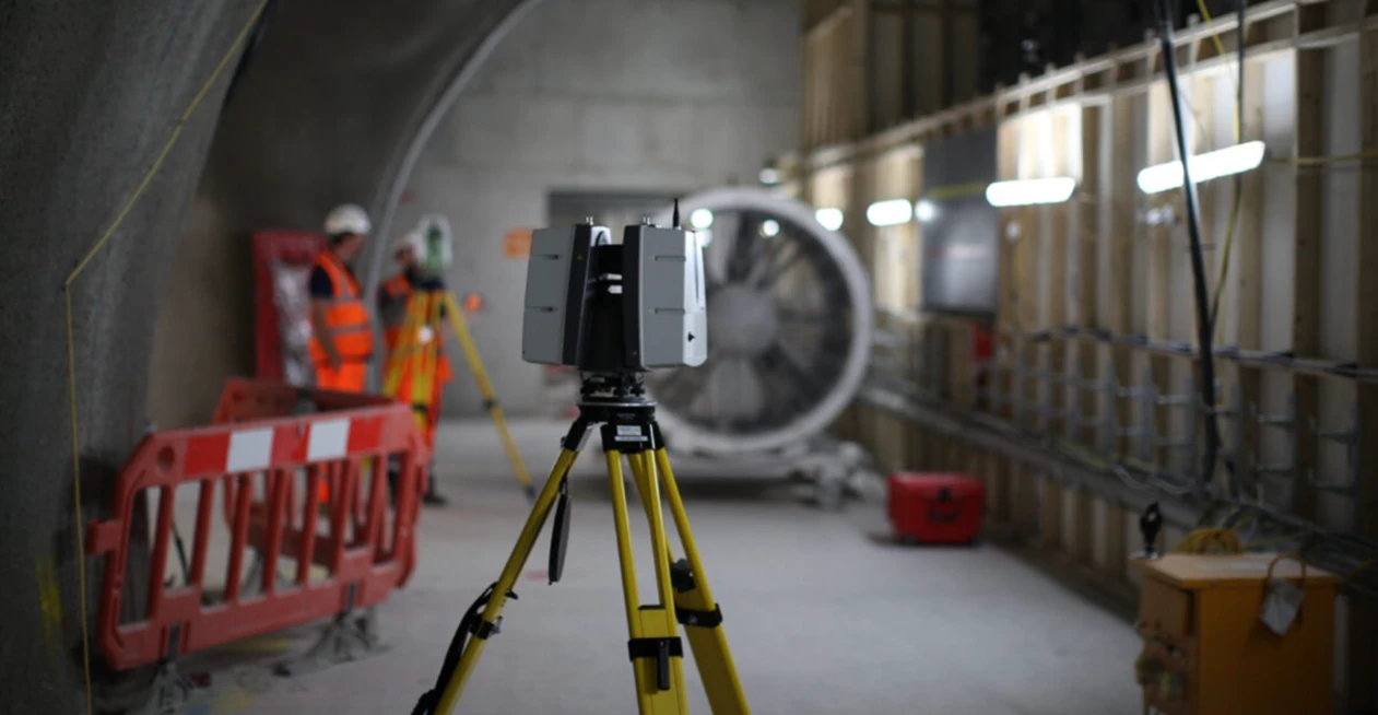
High-Resolution Cameras
Advanced surveying technology for precision data capture and analysis.
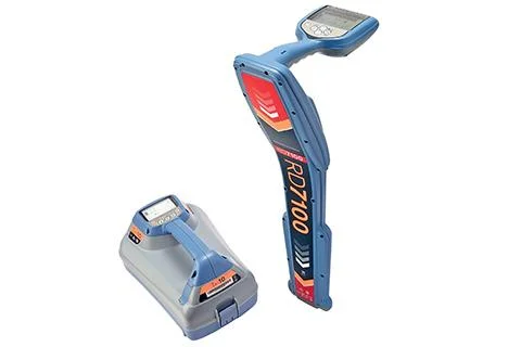
Crack Width Gauges
Advanced surveying technology for precision data capture and analysis.
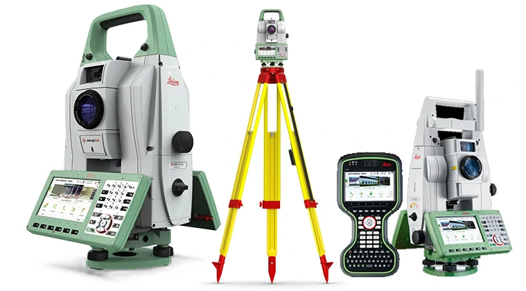
Level & Plumb Instruments
Advanced surveying technology for precision data capture and analysis.
AutoCAD
Advanced surveying technology for precision data capture and analysis.
Report Management Systems
Advanced surveying technology for precision data capture and analysis.
Frequently Asked Questions
Ideally before any construction activity begins on adjacent sites. Post-construction surveys should be done after works are complete for comparison.
Our reports are prepared to professional standards and are accepted as evidence in legal and insurance proceedings.
A single property typically takes 1-2 days for inspection and 3-5 days for report preparation, depending on size and complexity.
Yes, we document all accessible internal and external areas, including common areas, facades, basements, and roof areas.
Have more questions?
Our team of experts is ready to assist you with your specific project requirements across the GCC.
Related Services
Explore our other professional surveying solutions
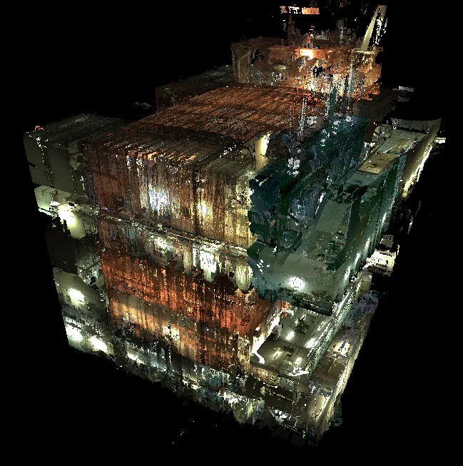
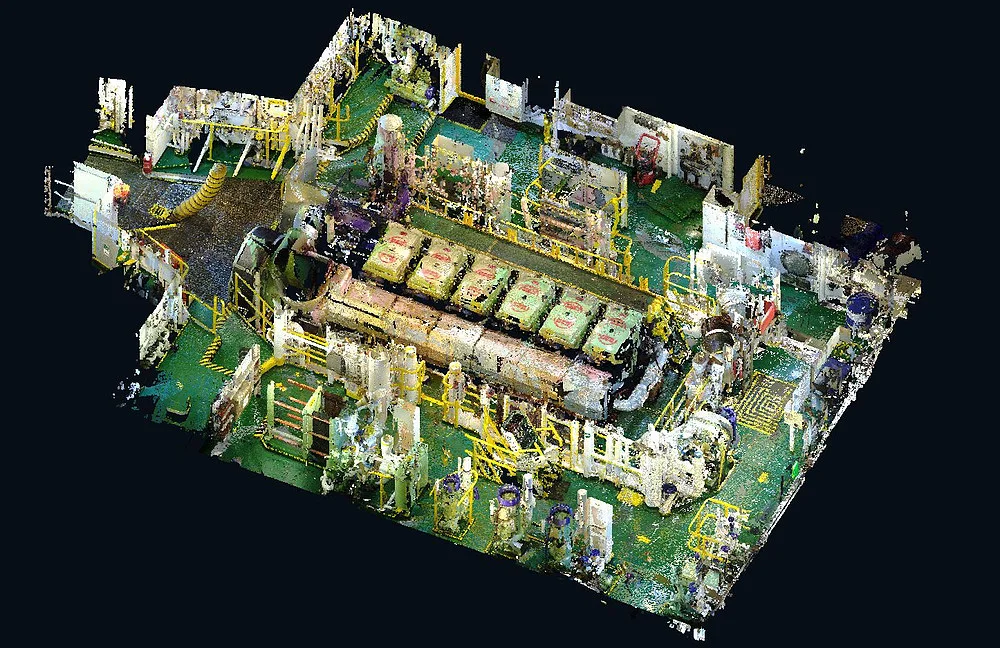
As-Built Surveys (3D Laser Scanning-Based)
High-accuracy 3D laser scanning for documentation and verification of existing building structures, including slab levels, core walls, and structural geometry.
3D Laser Scanning
High-precision terrestrial laser scanning for detailed 3D capture of buildings, structures, and industrial environments.

Drone Inspection Services
Aerial inspection and condition assessment of structures and infrastructure using high-resolution UAV systems.
Contact us directly
Reach our team instantly via WhatsApp, phone, or email.
Also available in Riyadh