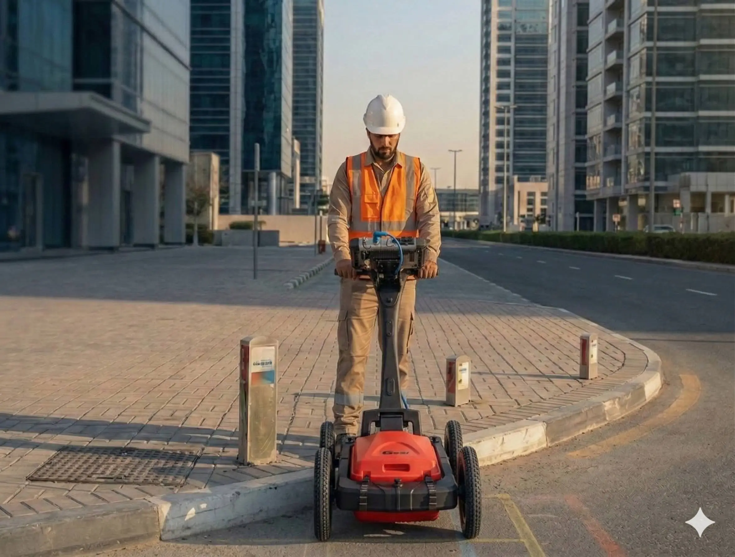
Underground Utility Surveys
Detection, mapping, and verification of buried utility networks using GPR and electromagnetic locating systems.
Accurate Subsurface Utility Detection and Mapping
Underground utility surveys identify and map subsurface services such as water lines, electrical ducts, telecom networks, drainage systems, and pipelines. Using non-destructive detection technologies, we provide accurate spatial documentation to reduce excavation risk and prevent service conflicts during construction and infrastructure upgrades.
Our Methodology
Delivering excellence through a proven three-stage workflow
Utility Detection & Scanning
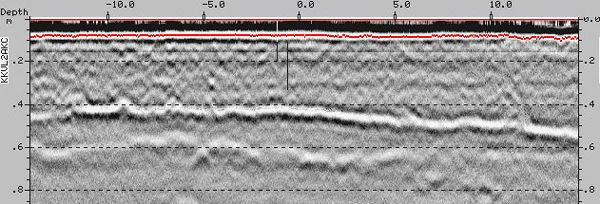
Ground Penetrating Radar (GPR) and electromagnetic locators are used to detect buried utilities and determine depth and alignment.
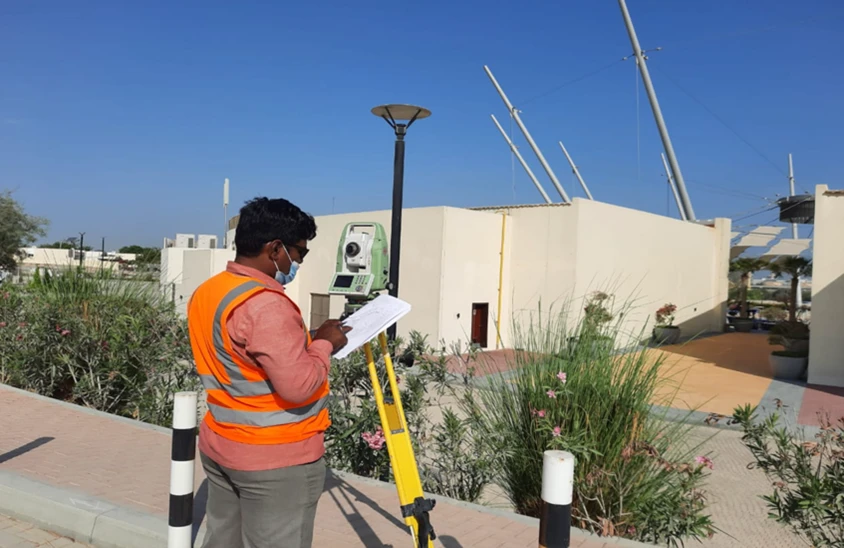
Survey Control & Positioning
Detected utilities are surveyed using total station or GNSS to establish accurate horizontal and vertical coordinates.
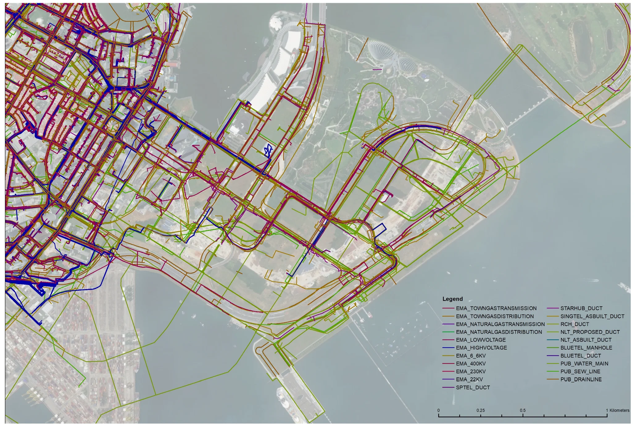
Data Processing & Mapping
Utility alignments are mapped into CAD and GIS formats with depth annotations and conflict analysis where required.
Applications
Industry sectors and use cases we serve
Construction Projects
Identifies buried services before excavation to prevent damage
Road & Infrastructure Works
Maps underground utilities prior to resurfacing or widening
Utility Diversion Planning
Assists in rerouting services during redevelopment
Conflict Detection & Risk Assessment
Detects service clashes before installation works begin
Deliverables
What you receive at the end of every project
- Utility detection layout drawingsDWG / DXF
- Utility depth profiles
- Marked service plans
Technology Stack
Industry-leading equipment and software
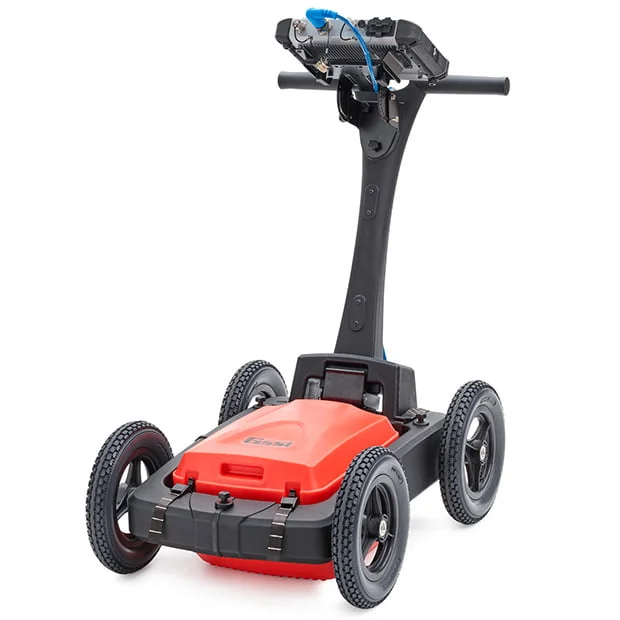
GSSI GPR System
Advanced surveying technology for precision data capture and analysis.
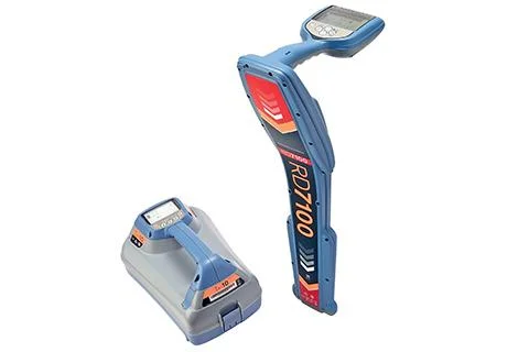
Cable & Pipe Locators
Advanced surveying technology for precision data capture and analysis.
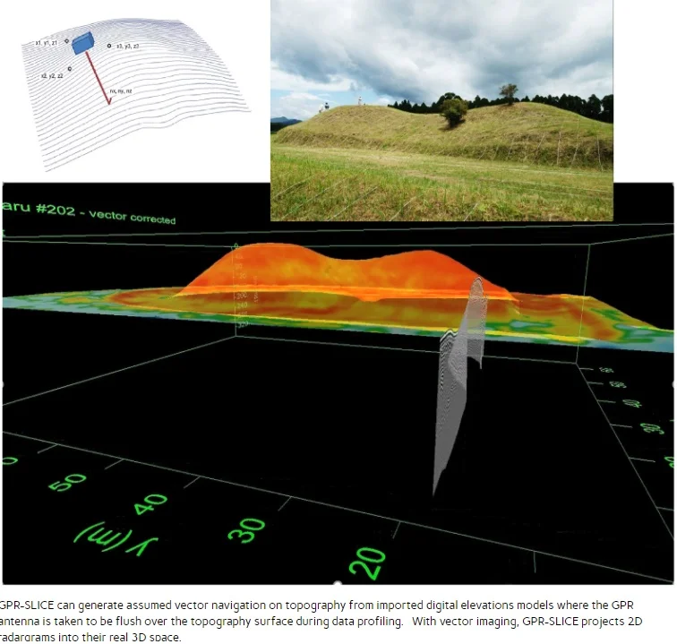
GPR Slice Software
Advanced surveying technology for precision data capture and analysis.
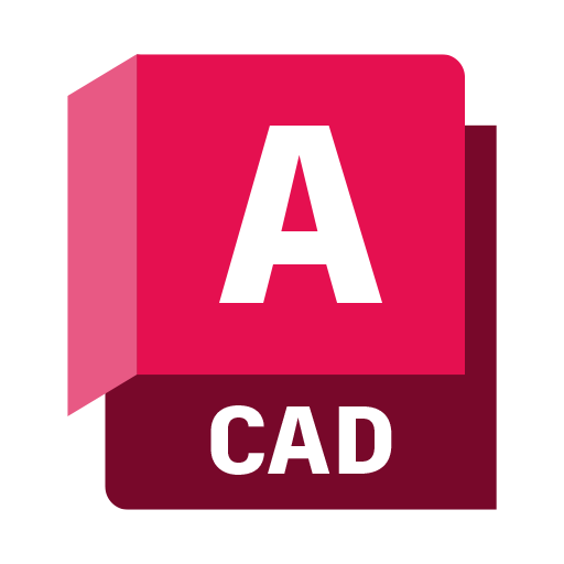
AutoCAD
Advanced surveying technology for precision data capture and analysis.
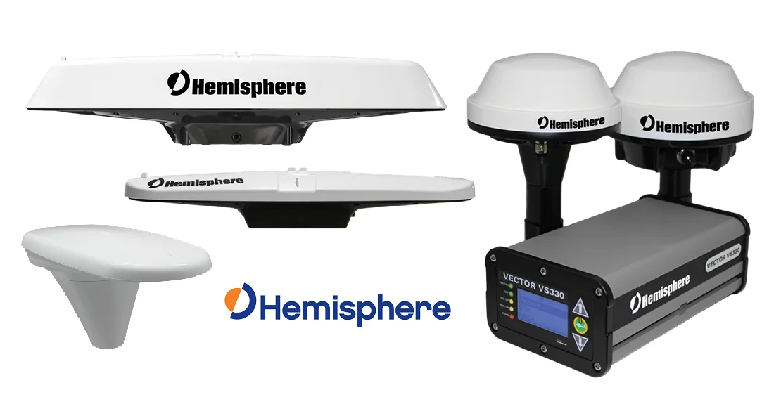
GPS/GNSS Positioning
Advanced surveying technology for precision data capture and analysis.
Frequently Asked Questions
In Dubai soil conditions, GPR typically detects metallic utilities to 4-5m depth and non-metallic (plastic, concrete) pipes to 2-3m depth.
GPR shows the signature of buried objects. Our experienced technicians interpret patterns to identify likely utility types based on size, depth, and signal characteristics.
Depth accuracy is typically ±10-15cm depending on soil conditions and signal quality. We use ground-truthing where possible for verification.
For urgent projects, we can provide preliminary field reports with marked locations on the same day. Detailed reports with CAD drawings take 2-3 business days.
Have more questions?
Our team of experts is ready to assist you with your specific project requirements across the GCC.
Related Services
Explore our other professional surveying solutions
Land, Engineering & Cadastral Surveying
Precision boundary, control, and engineering surveys supporting development, construction, and regulatory approvals.
GIS & Geospatial Solutions
Structured geospatial data management, mapping, and spatial analysis services for infrastructure and asset systems.
Contact us directly
Reach our team instantly via WhatsApp, phone, or email.
Also available in Riyadh